
Spratt, Thomas Abel Brimage (sold)
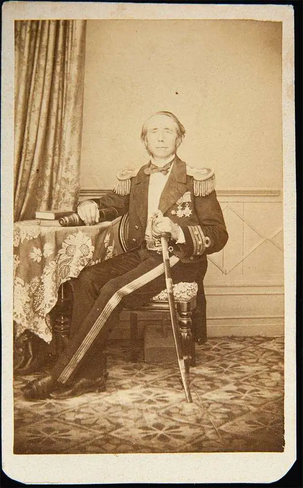
Thomas Abel Brimage Spratt (May 11, 1811 - March 12, 1888) was an English Royal Navy officer, hydrographer, and geologist active throughout the 19th century. Spratt was born in Woodway House, a gentlemanly estate in East Teignmouth, Devon, England. He was the eldest surviving son of Royal Navy Commander James Sprat, a hero of the Battle of Traflagar. He joined the Royal Navy in 1827, at 16, and was taught surveying on board the HMS Victory. Spratt was assigned to survey the Mediterranean, working with various officers, but most notably Thomas Graves, with whom he produced a revolutionary map of the Troada, subsequently known as 'Spratt's Map,' which led directly to Schliemann's discovery of Troy. Subsequently he befriended Edward Forbes, an English naturalist, with whom he published Travels in Lycia. Spratt was elected a Fellow of the Royal Society in recognition of the work. He was Kent's Commissioner of Fisheries from 1866 to 1873; and acting conservator of the River Mersey from 1879 until his death at Tunbridge Wells in 1888.
Spratt's Map' that led directly to the rediscovery of the lost Homeric city of Troy!
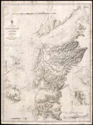
Asia Minor. Entrance of the Dardanelles, with the Plain of Troy and Tenedos.
sold
- Digital Map Information
- Suitable for large format printing
- DPI: 300
- File Size: 11.62 MB
- File Type: ZIP / TIFF
- ICC color profile embedded
- Delivered instantly via download link
Known as 'Spratt's Map', this is a most intriguing 1844 British Admiralty chart or map of the Entrance to the Dardanelles and the Troada or Plain of Troy. Compiled by Royal Navy officers Thomas Abel Brimage Spratt and Thomas Graves, this map played a significant role in the discovery of Tory. While this, like most early Admiralty charts can be admired for its supreme maritime detail and accuracy, the map's most intriguing quality is its extraordinary inland detail covering the eastern quarter of the Troada, including the Plain of Troy. Here, Graves and Spratt have left aside their usual nautical survey work to put the resources and training of the British Hydrographic Office to work on a far more important matter - the search for the ruins of lost Troy. (more details)