
Tomlinson, Clarence Walter (sold)
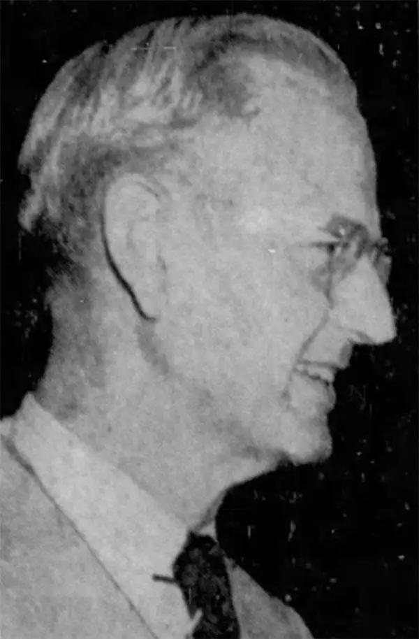
Clarence Walter Tomlinson (March 23, 1888 - October 5, 1955) was an American civil servant and city administrator active in Miami Beach, Florida, in the early to mid-20th century. Tomlinson was born in Wichita, Kansas. After living briefly in Chicago, he relocated to Florida in 1907 to take a position as a timekeeper on the Florida East Coast Railway's 'overseas' extension to Key West. He returned briefly to Chicago, but was once again drawn to Florida in 1919 to work for his former manager at the FEC, W. E. Brown. Brown was involved with the efforts to develop Miami Beach. On August 4, 1920, Tomlinson took a position as assistant City Clerk under J. F. Canova. Later in the same year, he was elected to the position of City Clerk. He remained in this position for the next 35 years, until shortly before his death.
Earliest known example of the first Official Map of Miami Beach.
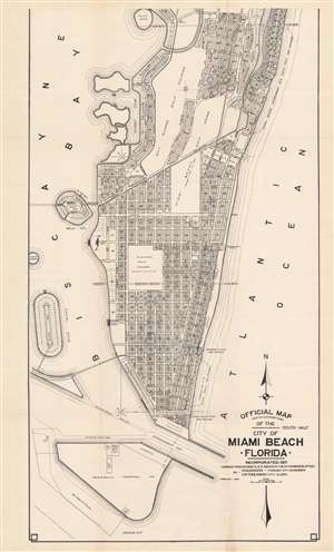
Official Map Adopted November 3, 1920 of the city of Miami Beach Florida.
sold
- Digital Map Information
- Suitable for large format printing
- File Size: 37.39 MB
- File Type: ZIP / TIFF
- ICC color profile embedded
- Delivered instantly via download link
This is Robert M. Davidson's 1925 map of Miami Beach, Florida - the earliest known example of the first official planning map of Miami Beach, drawn at the height of construction in Miami Beach and the apex of the Florida Land Boom. The map was first drawn by Davidson, Miami Beach's first City Engineer, in 1920, with the present example bearing the date of February 1925. The map covers from 42nd Street to South Point, covering modern day South Beach and parts of Mid-Beach. The map reveals the early planning and lotting of Miami Beach, noting sub-divisions, individual lots, parks, hotels, and golf clubs, and elite developments such as 'Star Island'. Although very large as is, the present map is only the 'South Half' of the full map, although no surviving examples of the 'North Half' are known, and it may not have been issued at all. (more details)
First Official Map of Miami Beach.
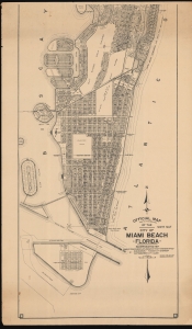
Official Map Adopted November 3, 1920 of the city of Miami Beach Florida.
sold
- Digital Map Information
- Suitable for large format printing
- File Size: 98.16 MB
- File Type: ZIP / TIFF
- ICC color profile embedded
- Delivered instantly via download link
This is Robert M. Davidson's 1929 map of Miami Beach, Florida - the first official planning map of Miami Beach, drawn at the height of construction in Miami Beach and the apex of the Florida Land Boom. The map exhibits significant advances over the 1925 first edition, including the Sunset Isles development, Peninsula Terminals lots, Flamingo Park has been redesignated as 'Flamingo Golf Course (until 1931)', and dramatic development along Alton Road near 41st Street, among many other changes. (more details)