
Vertue, George (sold)
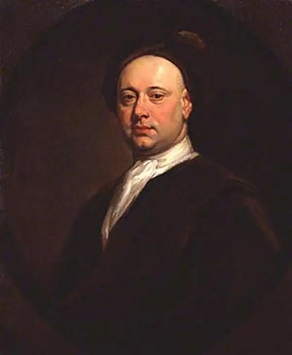
George Vertue (1684-1756) was an English engraver born in London. As a young man he apprenticed as an engraver for several years before beginning to work independently. He had an avid interest in antiquarian research and accumulated about forty volumes of notebooks about the details of the history of British art, which serve as an important research for contemporary knowledge on the subject. In 1717 he was appointed as the official engraver of the Society of Antiquaries, of which he was a founding member. Most of the illustrations in the Vetusta Monumenta, until his death, are his work. Vertue was also a portraitist, with approximately 500 portraits attributed to him. A similar number of plates devoted to antiquarian subjects were also published in his name.
South America and its Treasures.
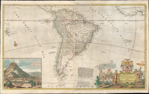
To the Right Honourable Charles Earl of Sunderland and Baron Spencer of Wormleighton... this Map of South America...
sold
- Digital Map Information
- Suitable for large format printing
- File Size: 52.5 MB
- File Type: ZIP / TIFF
- ICC color profile embedded
- Delivered instantly via download link
An attractive example of Hermann Moll's 1720 map of South America, here in a 1732 issue. The map was issued to counter the perceived dominance of the French maps of Guillaume De l'Isle's whose bold claims of French territory sparked outrage amongst the English, perhaps none more than Moll himself. (more details)
Moll vs. De l'Isle.
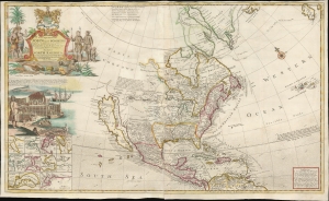
To The Right Honorable John Lord Sommers...This Map of North America According To Ye Newest and Most Exact Observations . . .
sold
- Digital Map Information
- Suitable for large format printing
- File Size: 45.84 MB
- File Type: ZIP / TIFF
- ICC color profile embedded
- Delivered instantly via download link
An attractive example of Hermann Moll's 1720 'Codfish' Map of North America. The map was issued to bolster British North American claims, countering Guillaume De l'Isle's 1718 Carte de La Louisiane , whose bold claims of French territory sparked outrage amongst the English. (more details)