
Wheeler, George Montague (sold)
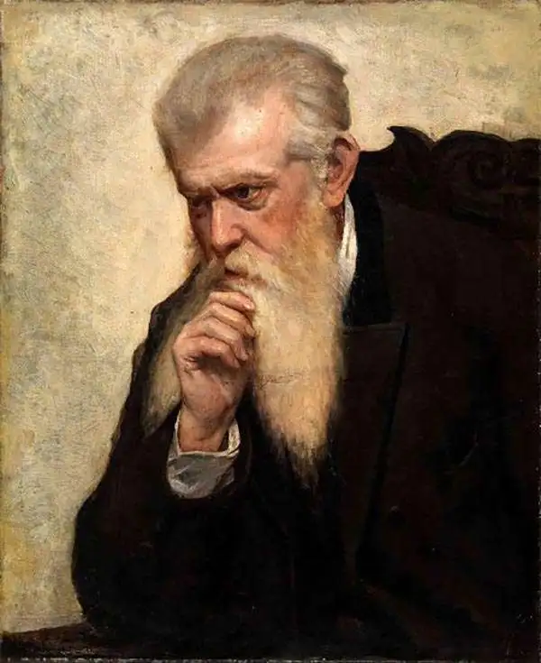
George Montague Wheeler (October 9, 1842 - May 3, 1905) was a surveyor and cartographer best known for leading the U.S. Government's geographical surveys west of the 100th meridian, better known as the Wheeler Survey. Born in Massachusetts, Wheeler attended West Point and graduated near the top of his class in 1866. He joined the Army Corps of Engineers and was dispatched to the American West, before being chosen to lead the ambitious survey that came to be associated with his name, which lasted from 1872 to 1879.
Geology of the Maxwell Land Grant.
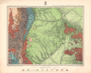
Parts of Southern Colorado and Northern New Mexico - Atlas Sheet No. 70 (A).
sold
- Digital Map Information
- Suitable for large format printing
- File Size: 30.17 MB
- File Type: ZIP / TIFF
- ICC color profile embedded
- Delivered instantly via download link
A brightly-colored chromolithograph geological map of lands along the New Mexico - Colorado border produced by the Wheeler Survey and published in the Topographical Atlas which summarized the survey's work. In addition to geological information, it reflects the growing settlement and infrastructure in the region, especially post offices and railroads. (more details)