
Wiltse, Gilbert Conwall (sold)
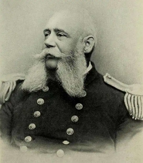
Gilbert Conwall Wiltse (November 29m 1838 - April 26, 1893) was an American naval officer active throughout the 19th century. Wiltse was born in New York and graduated from the Naval Academy in 1855. He served as a midshipman in the Brazilian Station from 1859 - 1861, at which point he was made lieutenant. During the American Civil War (1861 - 1865), he was recalled and was present at the March 8 and 9, 1862 Hampton Roads engagement of the CSS Virginia, with the USS Congress and the USS Cumberland. He also served in the West Indies and as part of the 1863 - 1864 blockading squadron. He was commissioned Lieutenant Commander on March 3rd, 1865. He served in New York and the North Atlantic between and 1885. In 1891, he was put in command of the Boston, and sent around South America into the Pacific. On this voyage, Wiltse had a stroke. Although he appeared to recover, he was never again a strong commander and give indication of mental instability. The Boston was shortly thereafter sent to Hawaii, both to protect American interests there and to survey Honolulu Harbor. Wiltse was in Honolulu when the Hawaiian Revolution broke out and was dispatched with a contingent of marines to defend the U.S. Consulate. He supported the revolution and, according to some reports boldly asserted that he had 'taken Hawaii for the United States'. He returned to New York City immediately after, believing he would be me with parades and presidential accolades. Such might have happened if Harrison remained president, but Grover Cleveland did not support annexation and turned Wiltse away. In fact, the U.S. flags Wiltse so proudly raised over Hawaii were taken down shortly thereafter. It is said that when he heard this new he collapsed into a fit and, aged 54, died of 'congestion of the brain'.
Unique proof state of a survey of Honolulu with connections to the Hawaiian Revolution.
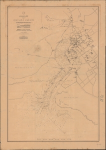
North Pacific Ocean, Hawaiian Islands, Oahu, Honolulu Harbor.
sold
- Digital Map Information
- Suitable for large format printing
- File Size: 1595.22 MB
- File Type: ZIP / TIFF
- ICC color profile embedded
- Delivered instantly via download link
A fascinating 1892 proof-state of the first U.S. survey of Honolulu Harbor, Hawaii, completed under Captain Gilbert Wiltse in 1892. Replete with manuscript corrections and annotations, this map offers unique insight into the processes behind U.S. Navy Hydrographic office survey publication. Historically, this map appeared within the context of potential U.S.-Hawaiian Annexation and the 1893 Hawaiian Revolution - in which Wiltse played a role. (more details)