

Western Hemisphere
sold
- Digital Map Information
- Suitable for large format printing
- File Size: 3.56 MB
- File Type: ZIP / TIFF
- ICC color profile embedded
- Delivered instantly via download link
Map of the Western Hemisphere from J. H. Colton's 1855 Atlas of the World. Map is a lithograph from a steel plate engraving. Beautiful hand color. Fantastic detail. Printed on 172 William Street in New York, ... (more details)

County Map of the State of California
sold
- Digital Map Information
- Suitable for large format printing
- File Size: 3.24 MB
- File Type: ZIP / TIFF
- ICC color profile embedded
- Delivered instantly via download link
This hand colored map is a lithographic engraving, dating to 1881 by the legendary American Mapmaker S.A. Mitchell, the younger. It represents the state of California. Includes a large and detailed inset of ... (more details)

Home Life Publishing Co. The City of New York Northern Part of the Borough of Manhattan and part of the Borough of the Bronx / Home Life Publishing Co. The City of New York South Part of the Borough of Manhattan.
sold
- Digital Map Information
- Suitable for large format printing
- File Size: 13.63 MB
- File Type: ZIP / TIFF
- ICC color profile embedded
- Delivered instantly via download link
This is an unusual 1899 Map of Manhattan and the Bronx by the Home Life publishing company. It is based upon a very similar c. 1860 map of New York City by Fisk and Russell. This is one of the rare 19th ... (more details)
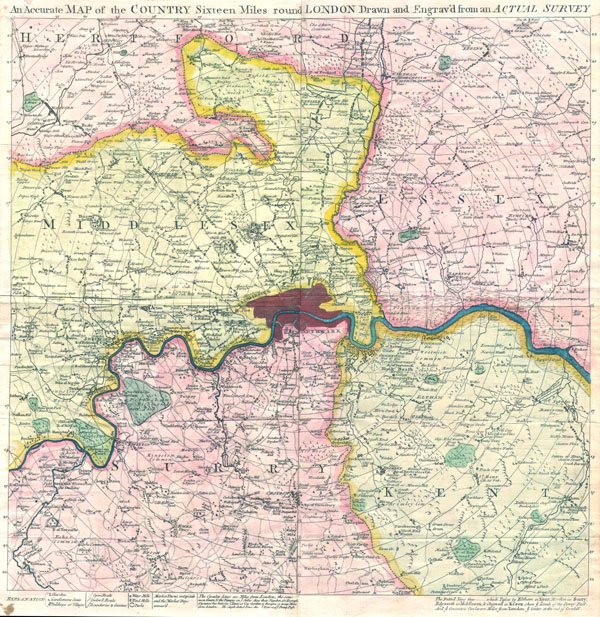
An Accurate Map of the Country Sixteen Miles Round London Drawn and Engrav'd from an Actual Survey.
sold
- Digital Map Information
- Suitable for large format printing
- DPI: 300
- File Size: 6.42 MB
- File Type: ZIP / TIFF
- ICC color profile embedded
- Delivered instantly via download link
This is a rare and unusual c. 1764 Map of London, England and the environs sixteen miles around. Published by Gentleman's Magazine in four separate issues with publisher's instruction on how to bind them ... (more details)
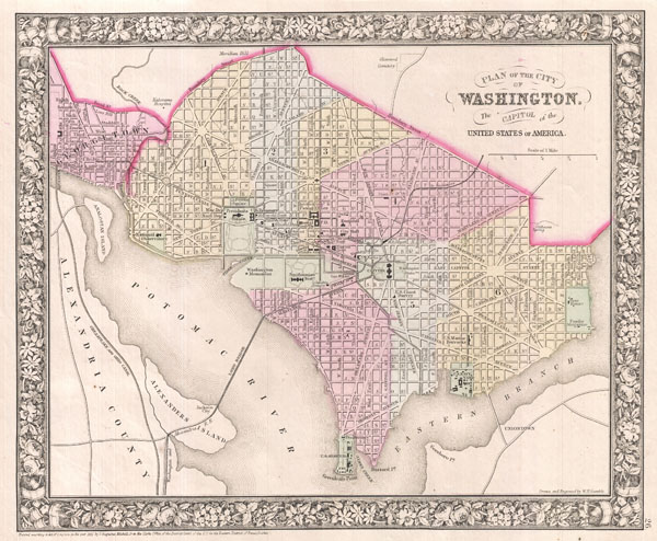
Plan of the City of Washington The Capitol of the United States of America.
sold
- Digital Map Information
- Suitable for large format printing
- File Size: 6.01 MB
- File Type: ZIP / TIFF
- ICC color profile embedded
- Delivered instantly via download link
A rare 1866 Map of Washington D.C. by American map publisher S. A. Mitchell Jr. Depicts the city shortly following Lincoln's assassination. Important buildings such as the capitol, the Arsenal, the ... (more details)
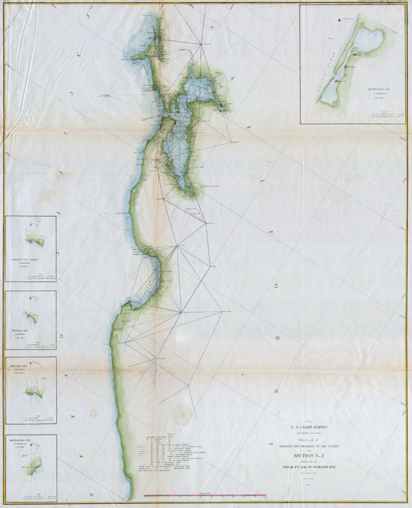
Sketch J Showing the Progress of the Survey in Section No. X (middle sheet) From pt. Sal to Tomales Bay.
sold
- Digital Map Information
- Suitable for large format printing
- Full resolution TIFF file
- ICC color profile embedded
- Delivered instantly via download link
A rare nautical triangulation chart of the California coast from Pt. Sal to Tomales Bay, including the San Francisco Bay area, by the U. S. Coast Survey, 1857. Depicts the much of the shoreline of ... (more details)
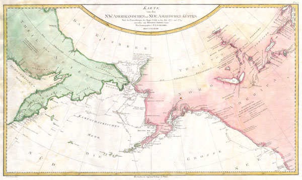
Karte von den N.W. Amerikanischen und N.OE. Asiatischen Kusten nach den Untersuchungen des Kapit. Cook in den Jah. 1778 und 1779
sold
- Digital Map Information
- Suitable for large format printing
- DPI: 300
- File Size: 7.16 MB
- File Type: ZIP / TIFF
- ICC color profile embedded
- Delivered instantly via download link
A rare German language variant of Cook's map of his explorations along the northwest coast of America and the northeast coast of Asia. Based upon original work by Cook's cartographer Henry ... (more details)