
Colton, Joseph Hutchins (J. H. Colton, Colton Ohman, G. W. and C. B. Colton)
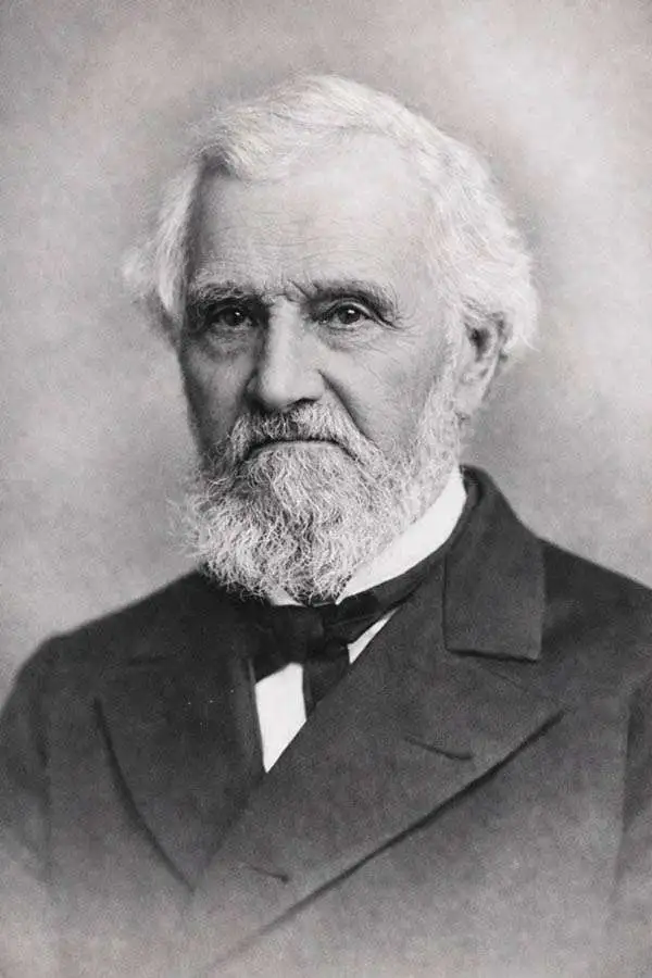
Joseph Hutchins Colton (July 5, 1800 - July 29, 1893), often publishing as J. H. Colton, was an important American map and atlas publisher active from 1833 to 1897. Colton's firm arose from humble beginnings when he moved to New York in 1831 and befriended the established engraver, Samuel Stiles. He worked under Stiles as the 'Co.' in Stiles and Co. from 1833 to 1836. Colton quickly recognized an emerging market in railroad maps and immigrant guides. Not a cartographer or engraver himself, Colton's initial business practice mostly involved purchasing the copyrights of other cartographers, most notably David H. Burr, and reissuing them with updated engraving and border work. His first maps, produced in 1833, were based on earlier Burr maps and depicted New York State and New York City. Between 1833 and 1855, Colton proceeded to publish a large corpus of guidebooks and railroad maps, which proved popular. In the early 1850s, Colton brought his two sons, George Woolworth Colton (1827 - 1901) and Charles B. Colton (1832 - 1916), into the map business. G. W. Colton, trained as a cartographer and engraver, was particularly inspired by the idea of creating a large and detailed world atlas to compete with established European firms for the U.S. market. In 1855, G.W. Colton issued volume one of the impressive two-volume Colton's Atlas of the World. Volume two followed a year later. Possibly because of the expense of purchasing a two-volume atlas set, the sales of the Atlas of the World did not meet Colton's expectations, and so, in 1856, the firm also issued the atlas as a single volume. The maps contained in this superb work were all original engravings, and most bear an 1855 copyright. All of the maps were surrounded by an attractive spiral motif border that would become a hallmark of Colton's atlas maps well into the 1880s. In 1857, the slightly smaller Colton's General Atlas replaced the Atlas of the World. Most early editions of the General Atlas published from 1857 to 1859 do not have the trademark Colton spiral border, which was removed to allow the maps to fit into a smaller format volume. Their customers must have missed the border because it was reinstated in 1860 and remained in all subsequent publications of the atlas. There were also darker times ahead; in 1858, Colton was commissioned at a sum of 25,000 USD by the government of Bolivia to produce and deliver 10,000 copies of a large format map of that country. Although Colton completed the contract in good faith, delivering the maps at his own expense, he was never paid by Bolivia, which was at the time in the midst of a series of national revolutions. Colton would spend the remainder of his days fighting with the Bolivian and Peruvian governments over this payment, and in the end, after a congressional intervention, he received as much as 100,000 USD in compensation. Nonetheless, at the time, it was a disastrous blow. J. H. Colton and Company is listed as one of New York's failed companies in the postal record of 1859. This led Colton into the arms of Alvin Jewett Johnson and Ross C. Browning. The 1859 edition of Colton's General Atlas lists Johnson and Browning as the 'Successor's to J. H. Colton' suggesting an outright buyout, but given that both companies continued to publish separately, the reality is likely more complex. Whatever the case may have been, this arrangement gave Johnson and Browning access to many of Colton's map plates and gave birth to Johnson's New Illustrated (Steel Plate) Family Atlas. The Johnson's Atlas was published parallel to Colton's atlases well into the 1880s. The Colton firm itself subsequently published several other atlases including an Atlas of America, the Illustrated Cabinet Atlas, the Octavo Atlas of the Union, and Colton's Quarto Atlas of the World. They also published a large corpus of wall maps, pocket maps, and guides. The last known publications of the Colton firm date to 1897 and include a map and a view, both issued in association with the Merchant's Association of New York. Alice M. Colton married August R. Ohman (May 3, 1859 - April 22, 1934) on January 5, 1897. In 1898, Ohman joined the Colton firm, which continued to publish as Colton, Ohman & Co. until 1901.
Colton, Joseph Hutchins is also known as: J. H. Colton, Colton Ohman, G. W. and C. B. Colton
'Duty, Honor, Country'.
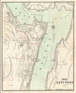
Map of West Point.
$1,250.00
Acquire
- Digital Map Information
- Suitable for large format printing
- Full resolution TIFF file
- ICC color profile embedded
- Delivered instantly via download link
A rare 1844 guide and map of the U.S. Military Academy at West Point, New York by J. H. Colton. The map is centered on the academy grounds and covers from Constitution Island to Garrison, just across the Hudson River. In identifies academy buildings as well as the surrounding terrain. Nearby farms and homeowners are also identified. (more details)
First edition of one of Colton's most beautiful maps.
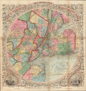
Map of The Country Thirty Three Miles Around The City of New York.
$1,200.00
Acquire
- Digital Map Information
- Suitable for large format printing
- Full resolution TIFF file
- ICC color profile embedded
- Delivered instantly via download link
This is the extremely rare 1846 first edition of one of the most beautiful pocket maps of New York made in the 19th century: Colton's Thirty Three Miles Around the City of New York. The map depicts New York City and vicinity as far south as Ocean County, New Jersey, as far east as Suffolk County, as far north as Rockland County, and as far west as Somerset County. The area is illustrated in considerable detail with special attention to settlements, tolls, roads, and railroads. New York Bay and Harbor offer numerous depth soundings taken from the 1850 U.S. Coast Survey chart of the region. The whole is surrounded by a splendid decorative border with engraved views depicting 'City Hall, New York' and 'City Hall, Brooklyn.' (more details)
Adding California and chronicling Texas' changing borders.
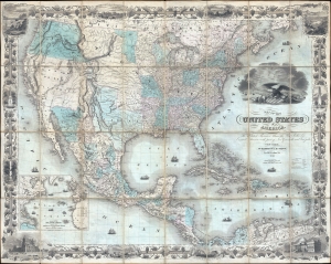
Map of the United States of America, the British Provinces, Mexico, the West Indies, and Central America: with part of New Granada and Venezuela.
$10,000.00
Acquire
- Digital Map Information
- Suitable for large format printing
- DPI: 300
- File Size: 70.47 MB
- File Type: ZIP / TIFF
- ICC color profile embedded
- Delivered instantly via download link
This is J. H. Colton's first edition 1849 map of the United States on the cusp of the California Gold Rush, in a fine example. The map depicts the United States immediately following the 1848 Treaty of Guadeloupe Hidalgo, including Texas at its largest and the Mexican Cession of Upper California (or New California). (more details)
Dawn of the American Industrial Revolution.
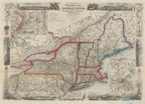
Colton's Map of the States of New England and New York, with Parts of Pennsylvania, New Jersey, the Canadas and c. Showing the Railroad, Canals and Stage Roads. With distances from place to place.
$1,500.00
Acquire
- Digital Map Information
- Suitable for large format printing
- Full resolution TIFF file
- ICC color profile embedded
- Delivered instantly via download link
A scarce and highly decorative first edition 1850 J. H. Colton and J. M. Atwood map of New York and New England. Thanks to Atwood's masterful engraving, this is one of the most decorative mid-19th-century maps of New England. It captures the northeastern United States at the beginning of the Industrial Revolution, when, fueled by Pennsylvania anthracite and a well-connected railway network, the region became the core of American manufacturing. (more details)
Brooklyn equivalent of the 1811 Commissioners' Plan.
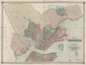
Map of the city of Brooklyn, as laid out by commissioners, and confirmed by acts of the Legislature of the state of New York, made from actual surveys the farm lines and names of original owners being accurately drawn from authentic sources. Containing also a map of the Village of Williamsburgh, and part of the city of New-York: compiled from accurate surveys and documents and showing the true relative position of all.
$8,500.00
Acquire
- Digital Map Information
- Suitable for large format printing
- DPI: 600
- File Size: 210.77 MB
- File Type: ZIP / TIFF
- ICC color profile embedded
- Delivered instantly via download link
This is J. H. Colton's impressive large-scale 1852 map of Brooklyn and Williamsburg. In its 1839 first edition, it is the Brooklyn equivalent to both the 1811 Commissioner' Plan and Colton's great 1836 map of Manhattan, and as such can reasonably be considered the most important and best map of Brooklyn to appear in the 19th century. The present map, 1852, is, in so far as we can tell, the third edition, retaining much of the significance of the first, while also featuring fascinating updates illustrating the break-neck pace with which Brooklyn was then urbanizing. (more details)
Striking large-format map of New York City.
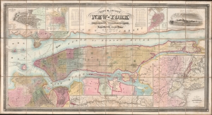
City and County Map of New-York Brooklyn, Williamsburgh, Jersey City and the adjacent Waters etc.
$15,000.00
Acquire
- Digital Map Information
- Suitable for large format printing
- File Size: 101.07 MB
- File Type: ZIP / TIFF
- ICC color profile embedded
- Delivered instantly via download link
This is J. H. Colton's large and impressive case map of New York City, including Brooklyn and Williamsburg. It is one of the largest and best maps of New York City to emerge in the mid-19th century. (more details)
Maine Academy Grants.
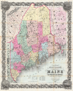
Colton's Railroad and Township Map of the State of Maine with Portions of New Hampshire, New Brunswick and Canada.
$1,100.00
Acquire
- Digital Map Information
- Suitable for large format printing
- Full resolution TIFF file
- ICC color profile embedded
- Delivered instantly via download link
This is a separate issue, 1853 J. H. Colton folding map of Maine. The map includes an important breakdown of Maine's early railroad development, and incorporates Maine's fascinating 'Academy Grant' system. (more details)
Settling the Upper Midwest.
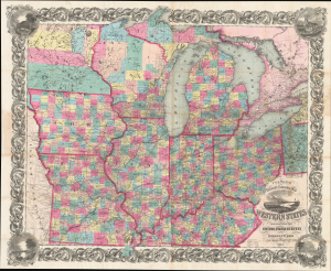
Colton's Railroad and Township Map Western States compiled from the United States Surveys. / Map of the Western States.
$1,500.00
Acquire
- Digital Map Information
- Suitable for large format printing
- File Size: 121.82 MB
- File Type: ZIP / TIFF
- ICC color profile embedded
- Delivered instantly via download link
This is a lovely, decorative, large-format 1854 pocket map of the American Midwest by Joseph H. Colton. It captures the region in the years before the U.S. Civil War and is notable for including Minnesota as a territory as well as demonstrating the rapid expansion of railroads throughout the Midwest. (more details)
Southern Germany prior to the wars of unification.
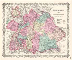
Germany No. 3.
$100.00
Acquire
- Digital Map Information
- Suitable for large format printing
- File Size: 16.4 MB
- File Type: ZIP / TIFF
- ICC color profile embedded
- Delivered instantly via download link
A beautiful 1855 first edition example of Colton's map of southern Germany. This map covers the 19th century German provinces of Bavaria, Wurttemberg, Baden and Pfalz, as well as numerous smaller regions. Divided and color coded according to regional divisions. Throughout, Colton identifies various cities, towns, forts, rivers and assortment of additional topographical details. Surrounded by Colton's typical spiral motif border. Dated and copyrighted to J. H. Colton, 1855. (more details)
India two years before the Uprising of 1857.
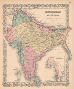
Hindostan or British India.
$100.00
Acquire
- Digital Map Information
- Suitable for large format printing
- File Size: 14.93 MB
- File Type: ZIP / TIFF
- ICC color profile embedded
- Delivered instantly via download link
This is a 1855 first edition J. H. Colton map of India. Published two years before the Uprising of 1857, this map illustrates India under the princely states and the British East India Company. (more details)
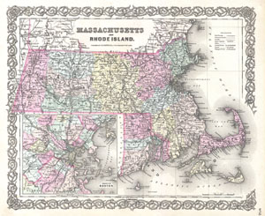
Massachusetts and Rhode Island.
$150.00
Acquire
- Digital Map Information
- Suitable for large format printing
- File Size: 8.8 MB
- File Type: ZIP / TIFF
- ICC color profile embedded
- Delivered instantly via download link
A beautiful 1855 first edition example of Colton's map of Massachusetts and Rhode Island. Covers the entire state as well as adjacent parts of Vermont and New Hampshire. Like most of Colton's state maps, this map is largely derived from an earlier wall map of ... (more details)
A Detailed and Attractive Map of Maritime Canada
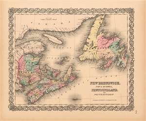
New Brunswick, Nova Scotia, Newfoundland, and Price Edward Id.
$125.00
Acquire
- Digital Map Information
- Suitable for large format printing
- File Size: 17.25 MB
- File Type: ZIP / TIFF
- ICC color profile embedded
- Delivered instantly via download link
This is Colton's scarce 1855 map of the Maritime Provinces of Eastern Canada: New Brunswick, Nova Scotia, Newfoundland and Prince Edward Island. The map shows a portion of what appears to be the European and North American Railway, which would not officially opened until 1857. It would eventually extend to Shediac Bay; here, rails link St. Stephens to Portland in southern New Brunswick. In addition, map Colton identifies various cities, towns, forts, rivers, rapids, fords, with topographical features shown with hachure. The attractive map is colored in pink, green, yellow and blue hand color to distinguish national and regional boundaries, and is embellished with Colton's characteristic spiral motif border. (more details)
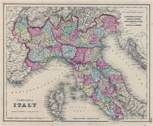
Northern Italy. Lombardy & Venice, Sardinia, Tuscany, Parma, Modena, Lucca, and the State of the Church.
$150.00
Acquire
- Digital Map Information
- Suitable for large format printing
- File Size: 8.87 MB
- File Type: ZIP / TIFF
- ICC color profile embedded
- Delivered instantly via download link
This is the uncommon 1857 issue of J. H. Colton's map of Northern Italy. It includes Lombardy and Venice, Sardinia, Tuscany, Parma, Modena, Lucca and the States of the Church. Also shows Corsica and parts of the Naples, France, Switzerland and Tyrol. Divided ... (more details)
Showing Prussia just prior to the Wars of Unification.
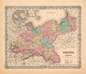
Prussia and Saxony.
$125.00
Acquire
- Digital Map Information
- Suitable for large format printing
- File Size: 16.23 MB
- File Type: ZIP / TIFF
- ICC color profile embedded
- Delivered instantly via download link
A handsome example of the first edition of Colton's 1855 map of Prussia and Saxony. Like most of Colton's Europe maps, this map was derived from an earlier wall map of the world produced by Colton and D. Griffing Johnson. The map covers what is today northwestern Germany.
Prussia attained its greatest importance in the 18th and 19th centuries when it dominated northern Germany politically, economically, and in population. The German Confederation, created in 1814, acted as a check between Austria and Prussia, its two largest and most powerful member states (Saxony, here, appears to be a meager deterrent to Prussia and Austria, which can be seen at the bottom of this map.) At the time this map was produced, Prussia had been contesting Austria's supremacy within the confederation and by 1866, tensions between these two rivals would explode into war - the Austro-Prussian War, which would result in the unification of Northern Germany (excluding Austria and the Southern German states.)
The map identifies various cities, towns, villages, railroads, canals, rivers, rapids, mountain passes, and an assortment of additional topographical details. It also identifies battlefields, including the 1757 Berlin raid which took place in the capital of Prussia during the Seven Years' War. Map is hand colored to distinguish national and regional boundaries. Surrounded by Colton's typical spiral motif border. (more details)
Prussia attained its greatest importance in the 18th and 19th centuries when it dominated northern Germany politically, economically, and in population. The German Confederation, created in 1814, acted as a check between Austria and Prussia, its two largest and most powerful member states (Saxony, here, appears to be a meager deterrent to Prussia and Austria, which can be seen at the bottom of this map.) At the time this map was produced, Prussia had been contesting Austria's supremacy within the confederation and by 1866, tensions between these two rivals would explode into war - the Austro-Prussian War, which would result in the unification of Northern Germany (excluding Austria and the Southern German states.)
The map identifies various cities, towns, villages, railroads, canals, rivers, rapids, mountain passes, and an assortment of additional topographical details. It also identifies battlefields, including the 1757 Berlin raid which took place in the capital of Prussia during the Seven Years' War. Map is hand colored to distinguish national and regional boundaries. Surrounded by Colton's typical spiral motif border. (more details)
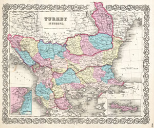
Turkey in Europe.
$100.00
Acquire
- Digital Map Information
- Suitable for large format printing
- File Size: 8.16 MB
- File Type: ZIP / TIFF
- ICC color profile embedded
- Delivered instantly via download link
An excellent 1855 first edition example of Colton's map of European Turkey. Like most of Colton's Europe maps, this map was derived from an earlier wall map of the world produced by Colton and D. Griffing Johnson. This map, made when the Ottoman empire ... (more details)
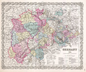
Germany No. 2.
$100.00
Acquire
- Digital Map Information
- Suitable for large format printing
- File Size: 9.37 MB
- File Type: ZIP / TIFF
- ICC color profile embedded
- Delivered instantly via download link
A beautiful 1855 first edition example of Colton's map of western Germany. Covers the 19th century German provinces of Westphalia, the Rhein Provinces, and numerous smaller regions. Divided and color coded according to regional divisions. ... (more details)
Maine at the beginning of the Railroad Era.
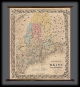
Colton's Railroad and Township Map of the State of Maine with portions of New Hampshire, New Brunswick, and Canada.
$1,800.00
Acquire
- Digital Map Information
- Suitable for large format printing
- File Size: 42.56 MB
- File Type: ZIP / TIFF
- ICC color profile embedded
- Delivered instantly via download link
This is an 1855 J. H. Colton wall map of Maine detailing college grants. (more details)
Detailing the transportation network of the Upper Midwest.
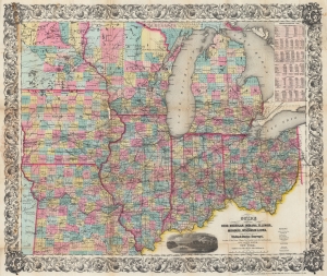
Guide Through Ohio, Michigan, Indiana, Illinois, Missouri, Wisconsin, and Iowa. Showing the Township lines of the United States Surveys, Locations of Cities, Towns, Villages, Post Hamlets, Canals, Rail and Stage Roads.
$1,200.00
Acquire
- Digital Map Information
- Suitable for large format printing
- File Size: 46.6 MB
- File Type: ZIP / TIFF
- ICC color profile embedded
- Delivered instantly via download link
This is an 1855 John Calvin Smith and John H. Colton map of Ohio, Michigan, Indiana, Illinois, Missouri, Wisconsin, and Iowa, along with part of Minnesota. The map captures a pivotal moment as mass emigration, developing industries, and displaced indigenous people transformed regional social, economic, and political spheres. (more details)
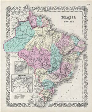
Brazil and Guayana.
$125.00
Acquire
- Digital Map Information
- Suitable for large format printing
- File Size: 10.78 MB
- File Type: ZIP / TIFF
- ICC color profile embedded
- Delivered instantly via download link
An excellent 1855 first edition example of Colton's map of Brazil, British Guyana, French Guyana (Cayenne), and Dutch Guyana (Surinam). Covers from Venezuela to Uruguay and from the Amazon basin to the Atlantic. Inset maps in lower left ... (more details)
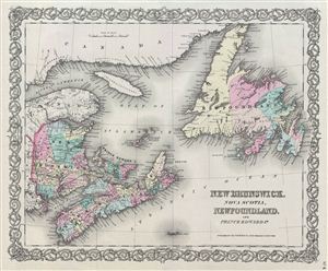
New Brunswick, Nova Scotia, Newfoundland, and Prince Edward Id.
$100.00
Acquire
- Digital Map Information
- Suitable for large format printing
- File Size: 8.73 MB
- File Type: ZIP / TIFF
- ICC color profile embedded
- Delivered instantly via download link
A beautiful 1855 first edition example of Colton's map of Canada's Maritime Provinces, including New Brunswick, Nova Scotia, Newfoundland, and Prince edward Island. Like most of Colton's North America maps, this map was derived from an ... (more details)
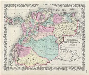
Venezuela, New Granada and Ecuador.
$125.00
Acquire
- Digital Map Information
- Suitable for large format printing
- File Size: 9.31 MB
- File Type: ZIP / TIFF
- ICC color profile embedded
- Delivered instantly via download link
An excellent 1855 first edition example of Colton's map of Venezuela, New Granada (Colombia), and ecuador. This map covers from the Pacific to Guyana and from Peru to the Caribbean, including Panama. Simon Bolivar's vision of Gran ... (more details)
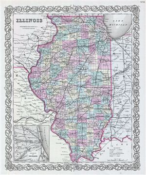
Illionois.
$150.00
Acquire
- Digital Map Information
- Suitable for large format printing
- File Size: 9.57 MB
- File Type: ZIP / TIFF
- ICC color profile embedded
- Delivered instantly via download link
An excellent 1855 first edition example of Colton's map of Illinois. Like most of Colton's state maps, this map was derived from an earlier wall map of North America produced by Colton and D. Griffing Johnson. The map depicts the ... (more details)
One of the earliest American maps to identify Mt. Kenya.
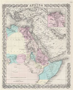
Africa North Eastern Sheet.
$150.00
Acquire
- Digital Map Information
- Suitable for large format printing
- File Size: 9.27 MB
- File Type: ZIP / TIFF
- ICC color profile embedded
- Delivered instantly via download link
A beautiful 1855 first edition example of Colton's map of north eastern Africa. Like most of Colton's Africa maps, this map is derived from an earlier wall map of the world produced by Colton and D. Griffing Johnson. The map ... (more details)
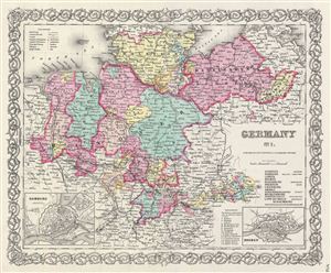
Germany No. 1.
$100.00
Acquire
- Digital Map Information
- Suitable for large format printing
- File Size: 9.04 MB
- File Type: ZIP / TIFF
- ICC color profile embedded
- Delivered instantly via download link
A beautiful 1855 first edition example of Colton's map of northern Germany. Like most of Colton's europe maps, this map was derived from an earlier wall map of the World produced by Colton and D. Griffing Johnson. Covers the ... (more details)
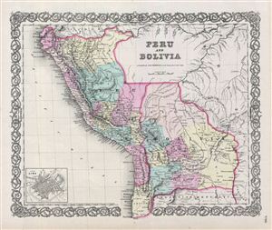
Peru and Bolivia.
$125.00
Acquire
- Digital Map Information
- Suitable for large format printing
- File Size: 9.16 MB
- File Type: ZIP / TIFF
- ICC color profile embedded
- Delivered instantly via download link
An excellent 1855 first edition example of Colton's map of Peru and Bolivia. Centered on Lake Titicaca, on the Peru-Bolivia border, the map covers from ecuador to the Argentine Republic and from the Pacific to Brazil. Shows ... (more details)
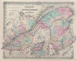
Canada East or Lower Canada And New Brunswick.
$100.00
Acquire
- Digital Map Information
- Suitable for large format printing
- File Size: 10.56 MB
- File Type: ZIP / TIFF
- ICC color profile embedded
- Delivered instantly via download link
A beautiful 1855 first edition example of Colton's map of Quebec (Canada east or Lower Canada) and New Brunswick. Like most of Colton's regional maps, this map was derived from an earlier wall map of North America produced ... (more details)
Colton's depiction of the entire continent of South America.
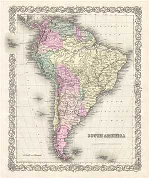
South America.
$125.00
Acquire
- Digital Map Information
- Suitable for large format printing
- File Size: 8.83 MB
- File Type: ZIP / TIFF
- ICC color profile embedded
- Delivered instantly via download link
A beautiful 1856 example of Colton's map of South America. Covers the entire continent from the Caribbean to Tierra del Fuego and from the Pacific to the Atlantic. Includes the Galapagos, Juan Fernandez, Falkland and ... (more details)
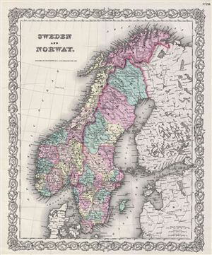
Sweden and Norway.
$125.00
Acquire
- Digital Map Information
- Suitable for large format printing
- File Size: 9.86 MB
- File Type: ZIP / TIFF
- ICC color profile embedded
- Delivered instantly via download link
An excellent 1855 first edition example of Colton's map of Sweden and Norway. Like most of Colton's europe maps, this map was derived from an earlier wall map of the world produced by Colton and D. Griffing Johnson. ... (more details)
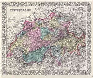
Switzerland.
$100.00
Acquire
- Digital Map Information
- Suitable for large format printing
- File Size: 10.36 MB
- File Type: ZIP / TIFF
- ICC color profile embedded
- Delivered instantly via download link
A beautiful 1855 first edition example of Colton's map of Switzerland. Like most of Colton's europe maps, this map was derived from an earlier wall map of the World produced by Colton and D. Griffing Johnson. The ... (more details)
Desert Caravans and Liberian land purchases.
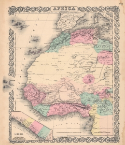
Africa North Western Sheet.
$150.00
Acquire
- Digital Map Information
- Suitable for large format printing
- File Size: 29.91 MB
- File Type: ZIP / TIFF
- ICC color profile embedded
- Delivered instantly via download link
A beautiful 1856 Colton map of northwestern Africa. Like most of Colton's Africa maps, this map is derived from an earlier wall map of the world produced by Colton and D. Griffing Johnson. (more details)
Best early map of Long Island.
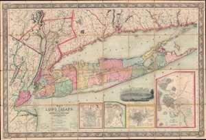
Map of Long Island, with the Environs of New-York and the Southern Part of Connecticut, compiled from Various Surveys and Documents.
$6,750.00
Acquire
- Digital Map Information
- Suitable for large format printing
- File Size: 203.5 MB
- File Type: ZIP / TIFF
- ICC color profile embedded
- Delivered instantly via download link
A fine example of John Calvin Smith and J. H. Colton's 1856 map of Long Island. This is the largest, most significant, and most beautiful map of Long Island to be issued in the 19th century. It is also very likely the first map published by American cartographic titan, J. H. Colton. (more details)
Illustrates the expanse of the relatively short-lived Austrian Empire.
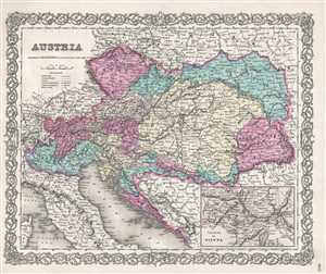
Austria.
$100.00
Acquire
- Digital Map Information
- Suitable for large format printing
- File Size: 7.19 MB
- File Type: ZIP / TIFF
- ICC color profile embedded
- Delivered instantly via download link
This is an 1857 J.H. Colton map of the Austrian empire. Like most of Colton's Europe maps, this map was derived from an earlier wall map of the world produced by Colton and D. Griffing Johnson. The map depicts ... (more details)
Includes inset maps of Amsterdam and Brussels.
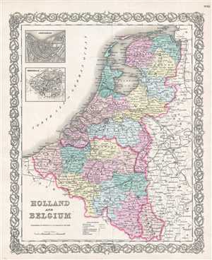
Holland and Belgium.
$125.00
Acquire
- Digital Map Information
- Suitable for large format printing
- File Size: 6.06 MB
- File Type: ZIP / TIFF
- ICC color profile embedded
- Delivered instantly via download link
This is an 1857 J.H. Colton map of Holland and Belgium. Like most of Colton's Europe maps, this map was derived from an earlier wall map of the World produced by Colton and D. Griffing Johnson. The map depicts ... (more details)
An early, important map of the Kansas and Nebraska Territories.
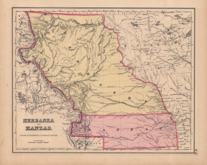
Nebraska and Kanzas.
$500.00
Acquire
- Digital Map Information
- Suitable for large format printing
- File Size: 10.27 MB
- File Type: ZIP / TIFF
- ICC color profile embedded
- Delivered instantly via download link
A beautiful example of Colton's 1857 map of Nebraska and Kansas, which appeared in the first edition of his General Atlas. This is among the rarest and most desirable Colton atlas maps. Aside from the territories named in the title, it includes portions of the future states of Colorado, Montana, Wyoming, North Dakota, and South Dakota. (more details)
19th century map of the Americas.
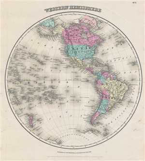
Western Hemisphere.
$200.00
Acquire
- Digital Map Information
- Suitable for large format printing
- File Size: 4.89 MB
- File Type: ZIP / TIFF
- ICC color profile embedded
- Delivered instantly via download link
This is an 1857 J. H. Colton map of the Western Hemisphere. Offering a fascinating snapshot of the world during a period of rapid globalization and discovery, this map depicts North America, South America and ... (more details)
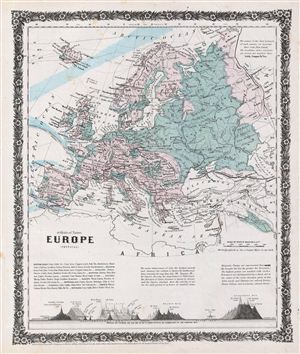
Europe (physical).
$120.00
Acquire
- Digital Map Information
- Suitable for large format printing
- File Size: 5.74 MB
- File Type: ZIP / TIFF
- ICC color profile embedded
- Delivered instantly via download link
A rare example of Colton's 1858 physical map of europe. The map depicts the physical geography of europe from Norway and Sweden to the Mediterranean Sea and from Portugal to Russia and also covers Iceland. ... (more details)
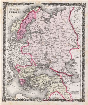
Eastern Europe.
$100.00
Acquire
- Digital Map Information
- Suitable for large format printing
- File Size: 6.56 MB
- File Type: ZIP / TIFF
- ICC color profile embedded
- Delivered instantly via download link
A rare example of Colton's 1858 map of eastern europe. Centered over Russia, the map covers Norway, Sweden, Turkey and Greece, and parts of Germany, Prussia, Italy and Austria. This beautiful hand colored ... (more details)
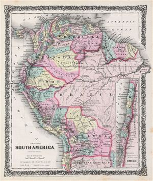
South America (western sheet).
$100.00
Acquire
- Digital Map Information
- Suitable for large format printing
- File Size: 6.5 MB
- File Type: ZIP / TIFF
- ICC color profile embedded
- Delivered instantly via download link
A rare example of Colton's 1858 map of the northwest part of South America. The map covers Venezuela, New Granada, British Guiana, Dutch Guiana, French Guiana, Brazil, ecuador, Peru, Bolivia and part of ... (more details)
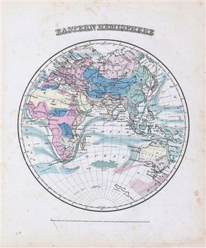
Eastern Hemisphere.
$150.00
Acquire
- Digital Map Information
- Suitable for large format printing
- File Size: 5.09 MB
- File Type: ZIP / TIFF
- ICC color profile embedded
- Delivered instantly via download link
A rare example of Colton's 1858 map of the eastern Hemisphere. Depicts Asia, europe, Africa and Australia. Although major cities are labeled, political distinctions are not. Shows major cities, ... (more details)
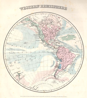
Western Hemisphere
$190.00
Acquire
- Digital Map Information
- Suitable for large format printing
- File Size: 1.68 MB
- File Type: ZIP / TIFF
- ICC color profile embedded
- Delivered instantly via download link
This rare hand colored map is a copper plate engraving, dating to 1858 by the well known 19th century American Mapmaker Colton. It is a representation of the Western Hemisphere, including North ... (more details)
Ephemeral Territories in the American West.
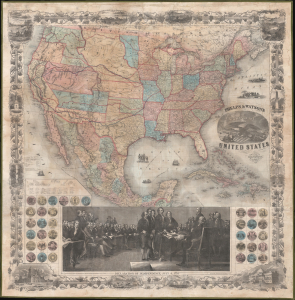
Phelps and Watson's New Map of the United States.
$3,000.00
Acquire
- Digital Map Information
- Suitable for large format printing
- Full resolution TIFF file
- ICC color profile embedded
- Delivered instantly via download link
This is a rare 1860 wall map of the United States published by Phelps and Watson. It presents the territorial configuration of U.S. states and territories on the eve of the U.S. Civil War (1861 - 1865), which would drastically reshape the map. (more details)
Pre-war anthill of abolitionist vs pro-slavery violence.
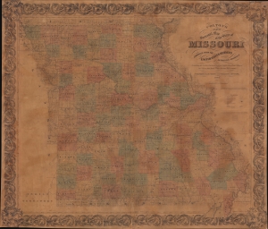
Colton's New Sectional Map of the State of Missouri. Compiled from United States Surveys and other Authentic Sources.
$1,200.00
Acquire
- Digital Map Information
- Suitable for large format printing
- File Size: 200.37 MB
- File Type: ZIP / TIFF
- ICC color profile embedded
- Delivered instantly via download link
This is an 1861 J. H. Colton map of Missouri at the beginning of the American Civil War (1861 - 1865). The map captures Missouri during a period when it was a violent microcosm of the greater abolition/pro-slavery divide. Although officially a slave state, Missouri harbored a large population of absolutists on both sides of the debate - and more from each side flooded in from 1850 on - turning it into a hotbed of violence and unrest that did not relent until long after the Civil War. (more details)
Snapshot of a rapidly changing country.
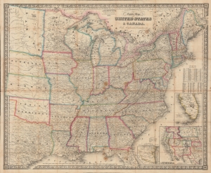
G. Woolworth Colton's New Guide Map of the United States and Canada, with Railroads, Counties etc.
$950.00
Acquire
- Digital Map Information
- Suitable for large format printing
- File Size: 1436.73 MB
- File Type: ZIP / TIFF
- ICC color profile embedded
- Delivered instantly via download link
An impressive 1862 folding map of the United States by George Woolworth Colton, heir of the prominent map publishing firm founded by his father Joseph Hutchins Colton. Remarkably detailed, it highlights railroads, state / territory and county lines, and demographic data at the height of the American Civil War (1861 - 1865). (more details)
Eastern Theater of the American Civil War.
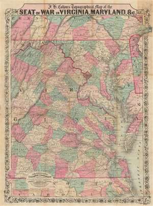
J.H. Colton's Topographical Map of the Seat of War in Virginia, Maryland, etc.
$1,200.00
Acquire
- Digital Map Information
- Suitable for large format printing
- Full resolution TIFF file
- ICC color profile embedded
- Delivered instantly via download link
This is a rare 1862 J. H. Colton map of Virginia, Maryland, and the Chesapeake Bay during the American Civil War (1861 - 1865). This map was issued for readers to follow Civil War events as they unfolded. In 1862, most of the Civil War had yet to come, but there was no doubt that most of the decisive battles would take place in the Mid-Atlantic theater, where the warring capitals stood just over 100 miles apart. (more details)
Growing the New England railroad network.
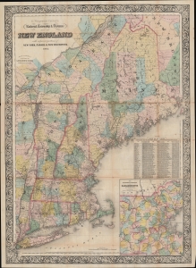
G. Woolworth Colton's Railroad, Township and Distance Map of New England with adjacent portions of New York, Canada and New Brunswick.
$900.00
Acquire
- Digital Map Information
- Suitable for large format printing
- Full resolution TIFF file
- ICC color profile embedded
- Delivered instantly via download link
This is an 1862 George Woolworth and Charles B. Colton railroad pocket map of New England - illustrating a period of brisk industrialization, railroad construction, and democratization of travel. (more details)
One of the largest and most beautiful American commercial maps published in the 19th century.
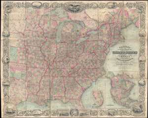
Map of the United States of America Including Canada, and a large portion of Texas, Showing Base Meridian and Township Lines of the U.S. Surveys, Including Lands alotted to the Indian Tribes west of the Mississippi, The various internal improvements.
$7,500.00
Acquire
- Digital Map Information
- Suitable for large format printing
- Full resolution TIFF file
- ICC color profile embedded
- Delivered instantly via download link
One of the most striking American large format wall maps ever issued. This is the 1862 American Civil War era case map of the United States by J. Calvin Smith and updated by J. H. Colton. The map covers from Austin Texas to the eastern seaboard and from Lake Superior to the Gulf of Mexico. Smith first introduced this map in 1843 buy the present much revised and updated example is the 1862 Civil War Colton edition. When it was introduced in 1843, this map was hailed as the largest, best, and most detailed map of the United States yet published. (more details)
Source of a cartographic feud.
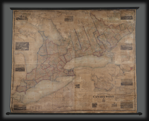
Tackabury's Map of Canada West, drawn from Government and special Local Surveys by H.F. Walling.
$4,500.00
Acquire
This is Henry Francis Walling's very large-format 1862 wall map of Canada West (formerly Upper Canada and subsequently Ontario), published by Robert M. Tackabury and George N. Tackabury. In addition to its size and magnificent level of detail, it is also significant for capturing this region in a period of political and social transformation, driven by railways, immigration, and moves towards greater political union and autonomy. (more details)
Revival-tent map of the Holy Land.
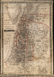
G. Woolworth Colton's Topographical Map of Palestine From the most recent surveys and exploration.
$1,800.00
Acquire
- Digital Map Information
- Suitable for large format printing
- File Size: 1094.81 MB
- File Type: ZIP / TIFF
- ICC color profile embedded
- Delivered instantly via download link
This is G. Woolworth Colton's large map of the Holy Land / Palestine / Israel, which has here been reformatted and revised for missionary field use. The map is printed on cloth and blown up to an enormous 50 x 71 inches - ideal for use in evangelical tents. The use of lithography on cloth also made the map more durable and 'packable' than its paper counterparts. (more details)
Union Pacific boomtimes in Iowa.
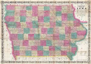
Colton's Sectional Map of the State of Iowa. Compiled from the U.S. Surveys and other Authentic Sources. Exhibiting the Sections Fractional Sections, Counties, Cities, Towns, Villages, Post Offices, Railroads and other Internal Improvements.
$500.00
Acquire
- Digital Map Information
- Suitable for large format printing
- File Size: 34.75 MB
- File Type: ZIP / TIFF
- ICC color profile embedded
- Delivered instantly via download link
This is an 1866 G. W. and C. B. Colton separate issue large format pocket map of Iowa - issued at during a period of explosive economic and population growth for Iowa. The completion of the Union Pacific Railroad, which departed from Omaha City, Nebraska, transformed Iowa into a transportation and economic hub, at the center of a trans-continental railroad network. The map depicts all of Iowa from Dakota and Nebraska to Wisconsin and Illinois and from Minnesota to Missouri. Highly detailed, myriad cities, towns, and villages are labeled throughout, including county seats and Des Moines, the state capital. Each county is labeled and shaded for easy differentiation. The map is further divided sectionally into land districts as surveyed by the United States Land Office. Numerous railroads crisscross the state, such as the Mississippi and Missouri Railroad and the Keokuk, Des Moines, and Minnesota Railroad. The Union Pacific Railroad is illustrated leaving Omaha City, Nebraska, which lies across the Missouri River from Iowa. Several roads are also depicted, such as the military road from Sioux City to St. Paul. Rivers and creeks snake their way across the state, some of which empty into the various lakes which dot the landscape (more details)
Vermont Gold Rushes.
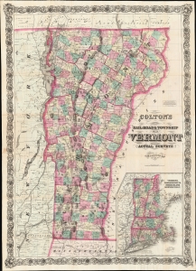
Colton's Rail-Road and Township Map of Vermont from County Maps and Actual Surveys.
$1,500.00
Acquire
- Digital Map Information
- Suitable for large format printing
- File Size: 74.41 MB
- File Type: ZIP / TIFF
- ICC color profile embedded
- Delivered instantly via download link
A striking 1868 example of G. W. and C. B. Colton's 1868 pocket map of Vermont. The map is novel as Colton's only large-scale separate-issue map to focus exclusively on Vermont. It is also of interest for its illustration of the Vermont gold region - a little-known chapter in the state's history. (more details)