

New Hampshire.
sold
- Digital Map Information
- Suitable for large format printing
- File Size: 9.65 MB
- File Type: ZIP / TIFF
- ICC color profile embedded
- Delivered instantly via download link
An excellent 1855 first edition example of Colton's map of New Hampshire. Like most of Colton's state maps, this map was derived from an earlier wall map of North America produced by Colton and D. Griffing Johnson. One of the few maps specifically of New ... (more details)

Maine.
sold
- Digital Map Information
- Suitable for large format printing
- File Size: 9.12 MB
- File Type: ZIP / TIFF
- ICC color profile embedded
- Delivered instantly via download link
An excellent 1855 first edition example of Colton's map of Maine. Covers the entire state as well as adjacent parts of Canada. Like most of Colton's state maps, this map was derived from an earlier wall map of North America produced by Colton and D. ... (more details)

The United States Of America.
sold
- Digital Map Information
- Suitable for large format printing
- File Size: 6.07 MB
- File Type: ZIP / TIFF
- ICC color profile embedded
- Delivered instantly via download link
An excellent 1855 first edition example of Colton's rare map of the United States. Like most of Colton's regional maps, this map was derived from an earlier wall map of North America produced by Colton and D. Griffing Johnson. The map covers the ... (more details)

Canada West or Upper Canada.
sold
- Digital Map Information
- Suitable for large format printing
- File Size: 10.51 MB
- File Type: ZIP / TIFF
- ICC color profile embedded
- Delivered instantly via download link
An excellent 1855 first edition example of Colton's map of Ontario or Upper Canada. Like most of Colton's regional maps, this map was derived from an earlier wall map of North America produced by Colton and D. Griffing Johnson. Centered on Lake ... (more details)

Northern America. British, Russian & Danish Possessions In North America.
sold
- Digital Map Information
- Suitable for large format printing
- File Size: 2.94 MB
- File Type: ZIP / TIFF
- ICC color profile embedded
- Delivered instantly via download link
A beautiful 1855 first edition first state example of Colton's map of modern day Canada, or more specifically, British, Russian, and Danish holdings in North America. Like most of Colton's North America maps, this map was derived from an earlier ... (more details)

Austalien.
sold
- Digital Map Information
- Suitable for large format printing
- DPI: 300
- File Size: 4.65 MB
- File Type: ZIP / TIFF
- ICC color profile embedded
- Delivered instantly via download link
A delightfully whimsical 1846 map of Australia, from a German kinderatlas or children's atlas. The map covers the entire continent of Australia (then known as New Holland) including the Sandwich Islands (Hawaii), Caroline Islands, New Zealand ... (more details)
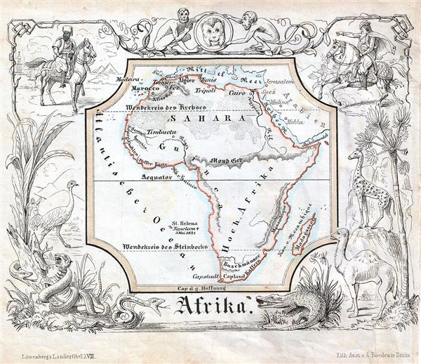
Afrika.
sold
- Digital Map Information
- Suitable for large format printing
- DPI: 300
- File Size: 4.06 MB
- File Type: ZIP / TIFF
- ICC color profile embedded
- Delivered instantly via download link
A delightfully whimsical 1846 map of Africa, from a German kinderatlas or children's atlas. The map covers the entire continent from the Mediterranean Sea to Cape Town. Also includes the island of Madagascar. The whole is surrounded by a ... (more details)
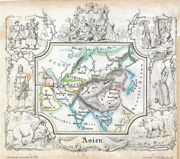
Asien.
$200.00
Acquire
- Digital Map Information
- Suitable for large format printing
- DPI: 300
- File Size: 4.52 MB
- File Type: ZIP / TIFF
- ICC color profile embedded
- Delivered instantly via download link
A delightfully whimsical 1846 map of Asia, from a German kinderatlas or children's atlas. The map covers the all of Asia from Siberia in the north to Ceylon in the Indian Ocean including Philippines and from Arabia in the west to Japan in ... (more details)
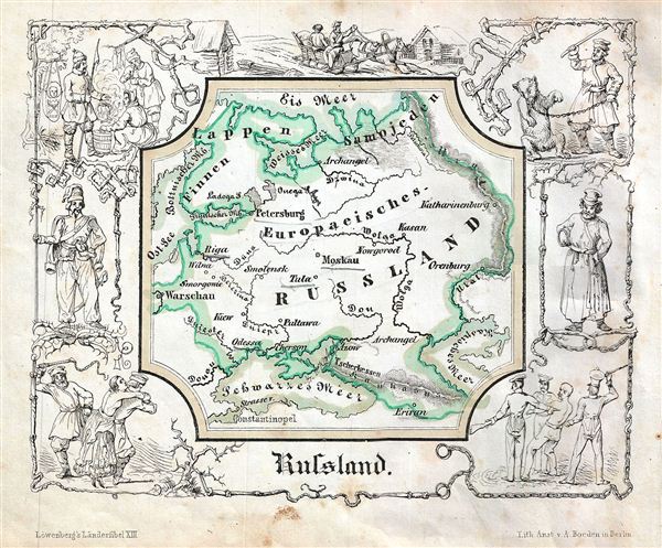
Rulsland.
sold
- Digital Map Information
- Suitable for large format printing
- DPI: 300
- File Size: 3.9 MB
- File Type: ZIP / TIFF
- ICC color profile embedded
- Delivered instantly via download link
A delightfully whimsical 1846 map of Russia, from a German kinderatlas or children's atlas. The map covers the Tsardom of Russia from the Arctic Ocean south as far as the Black Sea. The whole is surrounded by a wide border featuring ... (more details)

Polen.
sold
- Digital Map Information
- Suitable for large format printing
- DPI: 300
- File Size: 4.32 MB
- File Type: ZIP / TIFF
- ICC color profile embedded
- Delivered instantly via download link
A delightfully whimsical 1846 map of Poland, from a German kinderatlas or children's atlas. The map covers Poland from Russia to Austria. The whole is surrounded by a wide border featuring charming vignettes meant to illustrate the ... (more details)
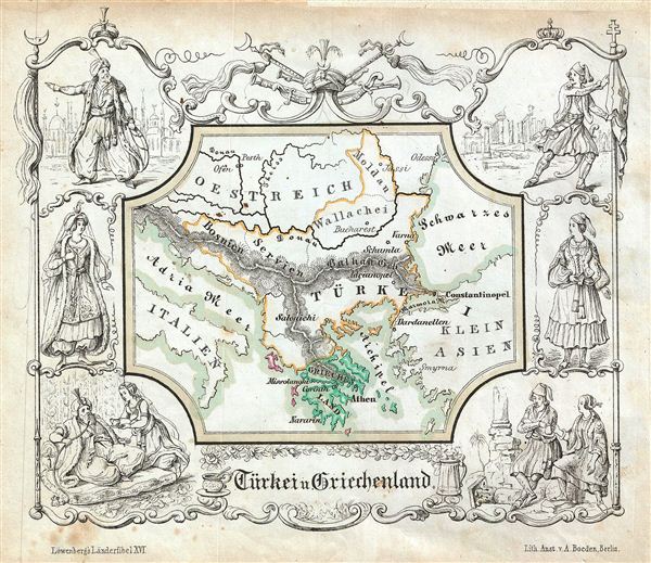
Türkei u. Griechenland.
sold
- Digital Map Information
- Suitable for large format printing
- DPI: 300
- File Size: 4.78 MB
- File Type: ZIP / TIFF
- ICC color profile embedded
- Delivered instantly via download link
A delightfully whimsical 1846 map of Turkey and Greece, from a German kinderatlas or children's atlas. The map covers Turkey in Europe and Greece from Moldova to Greece. The whole is surrounded by a wide border featuring charming ... (more details)
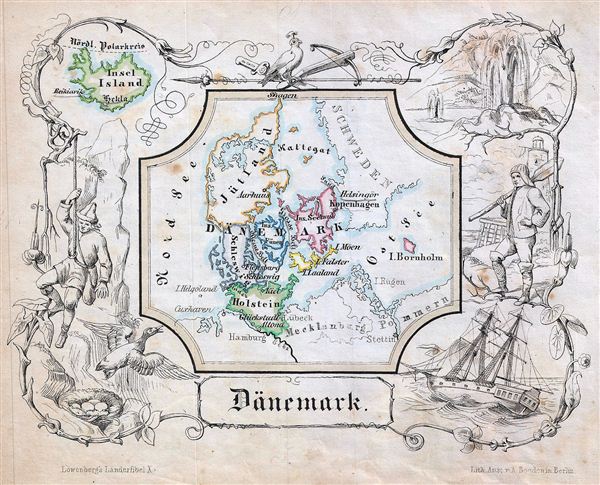
Danemark.
sold
- Digital Map Information
- Suitable for large format printing
- DPI: 300
- File Size: 4.13 MB
- File Type: ZIP / TIFF
- ICC color profile embedded
- Delivered instantly via download link
A delightfully whimsical 1846 map of Denmark, from a German kinderatlas or children's atlas. The map details all of Denmark with its various duchies divided with color coding. The whole is surrounded by a wide border featuring ... (more details)

Grolsbritannien.
sold
- Digital Map Information
- Suitable for large format printing
- DPI: 300
- File Size: 4.51 MB
- File Type: ZIP / TIFF
- ICC color profile embedded
- Delivered instantly via download link
A delightfully whimsical 1846 map of Great Britain, from a German kinderatlas or children's atlas. The map details the countries of Scotland, Ireland, England and Wales divided with color coding. The whole is surrounded by a ... (more details)

Oestliche Erdhalfte. Westliche Erdhalfte.
sold
- Digital Map Information
- Suitable for large format printing
- DPI: 300
- File Size: 5.01 MB
- File Type: ZIP / TIFF
- ICC color profile embedded
- Delivered instantly via download link
A delightfully whimsical 1846 map of the two hemispheres, from a German kinderatlas or children's atlas. The map details both the western and eastern hemispheres dividing the continents of Europe, Africa, Asia, Australia in ... (more details)
Whimsical child's map showing the Republic of Texas.

Nord Amerika.
sold
- Digital Map Information
- Suitable for large format printing
- DPI: 300
- File Size: 4.53 MB
- File Type: ZIP / TIFF
- ICC color profile embedded
- Delivered instantly via download link
A delightfully whimsical 1846 map of the North America, from a German kinderatlas or children's atlas. The map details all of North America in the last year of Texas autonomy (1836 – 1846), thus the continent is divided ... (more details)
Shows early statehood configuration.

North America.
sold
- Digital Map Information
- Suitable for large format printing
- File Size: 9.69 MB
- File Type: ZIP / TIFF
- ICC color profile embedded
- Delivered instantly via download link
An excellent 1856 first edition example of Colton's desirable map of North America. The map covers the continent from South America to the Arctic, inclusive of the United States, Canada, Mexico, Central America and the ... (more details)
First edition of Colton's influential map of New York City.

Map of New York and the Adjacent Cities.
sold
- Digital Map Information
- Suitable for large format printing
- File Size: 20.12 MB
- File Type: ZIP / TIFF
- ICC color profile embedded
- Delivered instantly via download link
A rare and beautiful example of J. H. Colton's 1856 map of New York City and vicinity, including Manhattan as well as parts of Brooklyn, Jersey City, Hoboken, and Queens. This is the first edition, first state, of the ... (more details)

California. City of San Francisco.
sold
- Digital Map Information
- Suitable for large format printing
- File Size: 8.9 MB
- File Type: ZIP / TIFF
- ICC color profile embedded
- Delivered instantly via download link
A beautiful 1855 first edition first state example of Colton's map of California. This is among the rarest and most desirable of all Colton atlas maps. Like most of Colton's state maps, this map was derived from an ... (more details)

Johnson's Missouri and Kansas.
sold
- Digital Map Information
- Suitable for large format printing
- File Size: 19.99 MB
- File Type: ZIP / TIFF
- ICC color profile embedded
- Delivered instantly via download link
A beautiful example of A. J. Johnson's 1863 map of Missouri and Kansas. One of Johnson's more decorative maps, this rare map offers a fascinating snapshot of these hotly contested states shortly following the ... (more details)

Johnson's Mexico.
sold
- Digital Map Information
- Suitable for large format printing
- File Size: 8.62 MB
- File Type: ZIP / TIFF
- ICC color profile embedded
- Delivered instantly via download link
A very attractive example of Johnson's 1861 map of Mexico. Includes all of modern day Mexico as well as most of Texas, Guatemala, Belize, and adjacent regions. Color coded according to Mexican estados . Also ... (more details)