
Landmark Sales
Only Printed Example of Jedediah Smith's Map of the American West
A "tour-de-force unprecedented and never equaled in the annals of Western exploration." - Wheat
Landmark Sale
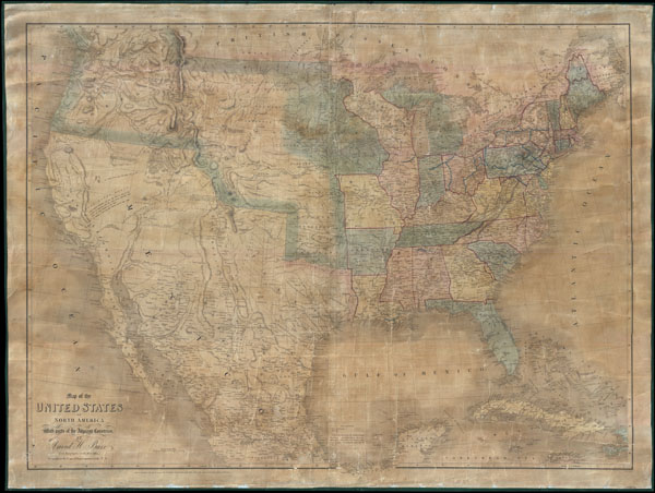
David H. Burr's Monumental 1839 Wall Map of the United States
Placed with a distinguished private collection, this extraordinary 1839 wall map by David H. Burr is one of the most significant and elusive maps of the American West ever published.
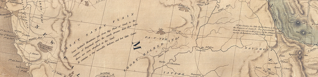
Burr's monumental map represents the culmination of the great era of western exploration that bridged the expeditions of Lewis and Clark and John C. Frémont. Most importantly, it preserves the only printed record of Jedediah Smith's now-lost manuscript map of the American West, incorporating Smith's groundbreaking geographic discoveries at a moment when the region remained only partially understood by the outside world. As Smith's original manuscript has since disappeared, Burr's map stands as the sole surviving published witness to one of the greatest cartographic achievements in American history.
Beyond its extraordinary western geography, the map captures the United States on the eve of dramatic transformation. It records the nation's transportation networks, political divisions, and frontier settlements just a decade before the California Gold Rush and the rapid westward expansion that would fundamentally reshape North America. Its combination of historical importance, exceptional rarity, and direct connection to one of America's greatest explorers places it among the landmark printed maps of the nineteenth century.
Placed into into a prestigious private collection. Geographicus is honored to have facilitated the acquisition of a work whose importance extends well beyond the antiquarian market, representing a pivotal chapter in the exploration, mapping, and settlement of the American West.
View Original ListingRelated Posts and Information
https://www.geographicus.com/P/AntiqueMap/unitedstates-burr-1839