Digital Image: 1905 Barberena / Alcaine New National Map of El Salvador
ElSalvador-waterlow-1905_d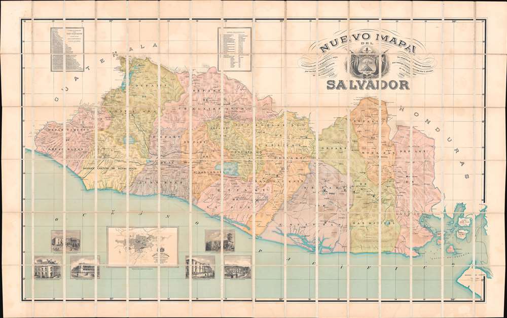
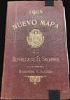

Title
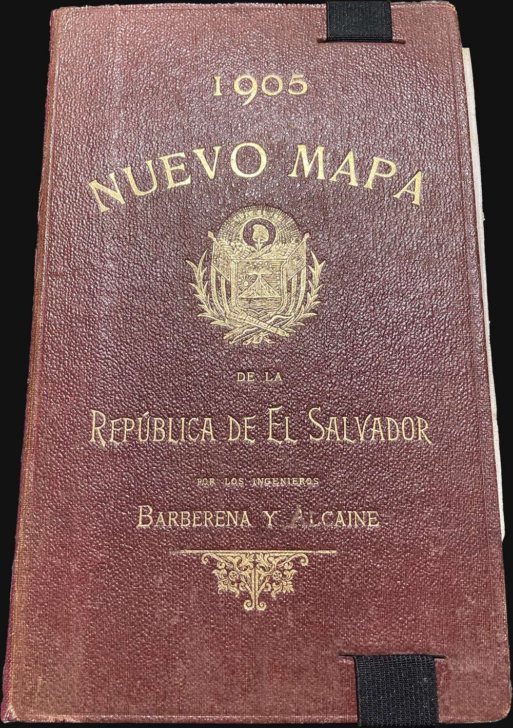
Nuevo Mapa Del Salvador Levantado por disposicion y bajo los auspicios del Supremo Gobierno por los Ingenieros Doctores Don Santiago I Barberena y Don Jose E. Alcaine de la Universidad de San Salvador 1892 - 1905.
1905 (dated) 39.5 x 60.5 in (100.33 x 153.67 cm) 1 : 200000
1905 (dated) 39.5 x 60.5 in (100.33 x 153.67 cm) 1 : 200000
Description
FOR THE ORIGINAL ANTIQUE MAP, WITH HISTORICAL ANALYSIS, CLICK HERE.
Digital Map Information
Geographicus maintains an archive of high-resolution rare map scans. We scan our maps at 300 DPI or higher, with newer images being 600 DPI, (either TIFF or JPEG, depending on when the scan was done) which is most cases in suitable for enlargement and printing.
Delivery
Once you purchase our digital scan service, you will receive a download link via email - usually within seconds. Digital orders are delivered as ZIP files, an industry standard file compression protocol that any computer should be able to unpack. Some of our files are very large, and can take some time to download. Most files are saved into your computer's 'Downloads' folder. All delivery is electronic. No physical product is shipped.
Credit and Scope of Use
You can use your digial image any way you want! Our digital images are unrestricted by copyright and can be used, modified, and published freely. The textual description that accompanies the original antique map is not included in the sale of digital images and remains protected by copyright. That said, we put significant care and effort into scanning and editing these maps, and we’d appreciate a credit when possible. Should you wish to credit us, please use the following credit line:
Courtesy of Geographicus Rare Antique Maps (https://www.geographicus.com).
How Large Can I Print?
In general, at 300 DPI, you should at least be able to double the size of the actual image, more so with our 600 DPI images. So, if the original was 10 x 12 inches, you can print at 20 x 24 inches, without quality loss. If your display requirements can accommodate some loss in image quality, you can make it even larger. That being said, no quality of scan will allow you to blow up at 10 x 12 inch map to wall size without significant quality loss. For more information, it is best consult a printer or reprographics specialist.
Refunds
If the high resolution image you ordered is unavailable, we will fully refund your purchase. Otherwise, digital images scans are a service, not a tangible product, and cannot be returned or refunded once the download link is used.
Cartographer S
Santiago Ignacio Barberena Fuentes (July 30, 1851 - November 26, 1916) was a Salvadorian educator, lawyer, historian, linguist, and engineer. He was born in Antigua, Guatemala but from 1859, studied and lived in San Salvador. He received his high school education at Colegio de la Asunción. He subsequently took degrees in law (Universidad de El Salvador, 1876) and topographical engineering (Universidad de San Carlos de Guatemala, 1877). He was then assigned as a surveyor to settle the 1878 - 1881 Guatemala - Mexico boundary question. Later, in 1886, he surveyed north-eastern El Salvador to draw the border with Honduras. He was also a noted archeologist. In 1888, at the invitation of Honduras, he participated in an expedition to the ruined Mayan city Copán. Later, in 1892, he made the first archaeological studies of El Tazumal, Casa Blanca, and Cara Sucia in western El Salvador, as well as in the Cueva del Espíritu Santo, in Corinto, Morazán. In his later years he became the director of the Observatorio Astronómico y Meteorológico de El Salvador (1893 - 1911) and the Museo Nacional de El Salvador (1903 - 1911), now known by the official name of Museo Nacional de Antropología Dr. David J. Guzmán. In 1905, José Emilio Alcaine (1866 - 1963), he is listed as the primarily cartographer behind the Nuevo Mapa del Salvador, an ambitious new national map on a large scale. More by this mapmaker...
José Emilio Alcaine (1866 - 1963) was a Salvadoran engineer, architect, and cartographer. He is best known for construction the Palácio Nacional of El Salvador, San Salvador, between 1905 and 1911, and the Teatro Nacional de El Salvador (1903). Along with Santiago Ignacio Barberena Fuentes (1851 - 1916), he is listed as the primarily cartographer behind the Nuevo Mapa del Salvador, an ambitious new national map on a large scale. Learn More...
Waterlow and Sons (1810 - 1961) was a British engraving and printing concern active in London specializing in currency, postage stamps, bond certificates, and occasionally maps. The firm was founded by James Waterlow (1790 - 1876) in 1810 on Birchin Lane, London, as a legal document printer and copyist. By 1852, they had expanded into stamps and his sons, Albert, Alfred, Sydney, and Walter joined the business. One year after James Waterlow's death, in 1877, infighting among the sons led Alfred Waterlow to split off, forming Waterlow Brothers and Layton. The rift was settled by 1920, and the two firms once again merged under the Waterlow and Sons imprint. They were involved in the Portuguese Bank Note Affair of 1925, wherein the Portuguese fraudster Artur Virgílio Alves Reis convinced the firm to print 200,000 banknotes of 500 Portuguese Escudos each, amounting to roughly 88% of Portugal's GDP. The affair was settled in court with a ruling against Waterlow. In 1928, Waterlow lost its most lucrative contract, printing English banknotes, and began to fall into decline. In 1961, they were acquired by Purnell and Sons who, shortly afterwards, sold the firm to De La Rue. Ironically, De La Rue acquired the contract to print Bank of England banknotes again in 2003 – 75 years after Waterlow lost it! Learn More...
References
OCLC 989074065.