
Van Arsdale, Perry (sold)

Perry Charles Van Arsdale (July 29, 1910 - July 22, 1976) was an American historian, researcher, linguist, and cartographer. Born in New York, New York, Van Arsdale held two Ph. D.s: one in romantic languages and the other in mechanical engineering. He retired from being a professor and consultant at the age of 45 'with enough money to see the project through'. He began making maps as a hobby, but it soon became his career. He started producing maps around 1965, after having spent nearly two decades traveling the United States, talking with the people that lived where he was traveling, and doing research in archives. He created 9 maps in total (New Mexico, Arizona, Colorado, Texas, Illinois, Northwest, Southwest, EastSouth, and a map of the United States illustrating American Indian Tribes and telling some of their history). All his maps were hand-drawn and hand-lettered and printed in extremely small print runs. His works include thousands of locations, hundreds of which likely only appear on his maps. He and his wife Mildred spent between 15 and 20 years (the historical record is unclear) traveling the country together gathering the information that Van Arsdale eventually compiled into his maps.
Traces stagecoach lines, railroad routes, and wagon trails.
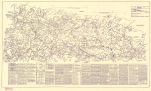
This is a 1969 Perry Van Arsdale data-rich map of the western and northwestern United States. Van Arsdale includes railroad routes, wagon trails, stagecoach lines, Wells Fargo and Pony Express stops, and hundreds of cities and towns. (more details)
A Native American map by Wounded Sparrow.
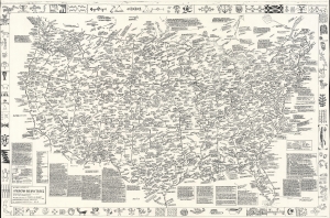
A Map-History of American Indian Tribes. This Second Edition is Dedicated to His Memory by His Friend Wounded Swallow.
sold
This is a 1986 Wounded Swallow map of American Indian tribes throughout the United States. It comprises a visual history of American Indians to about 1900. (more details)
Native American Historical map by Wounded Sparrow.
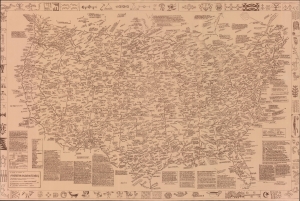
A Map-History of American Indian Tribes. This Second Edition is Dedicated to His Memory by His Friend Wounded Swallow.
sold
This is a 1986 Wounded Sparrow / Van Arsdale map of American Indian tribes throughout the United States. It comprises a visual history of American Indians to about 1900. (more details)