
Assa Castel-Branco, José Frederico de (sold)
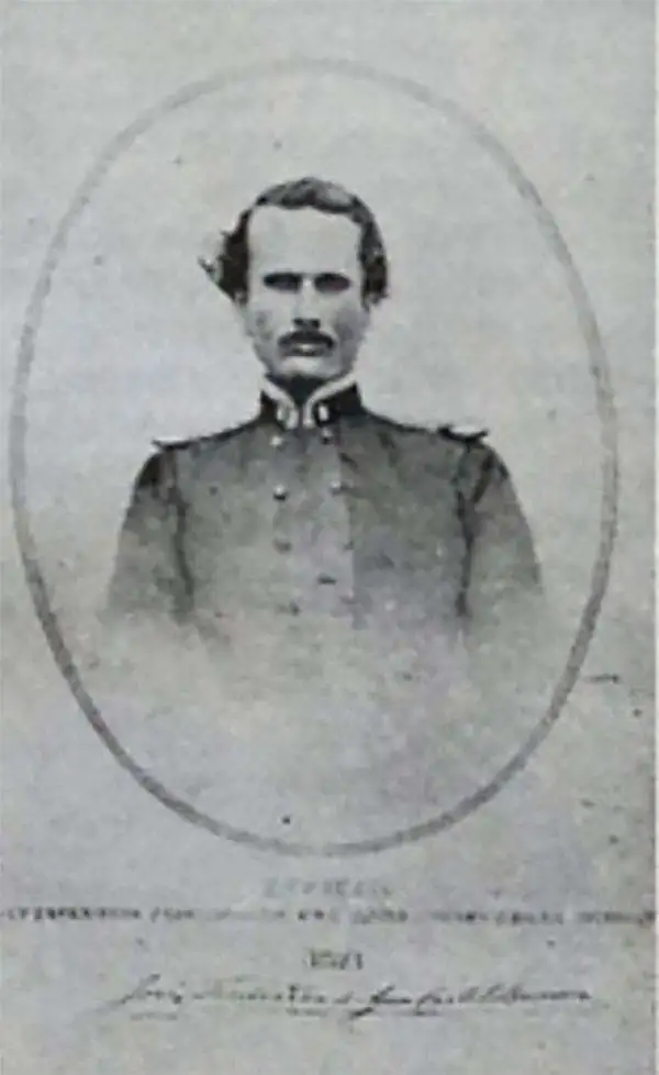
José Frederico d'Assa Castel-Branco (March 5, 1836 - March 5, 1912) was a Goa-born Portuguese military engineer active in Goa in the late 19th century. He studied at the Escola Mathemática e Militar de Goa from 1850, after which he joined the Goan-Portuguese Army. Roughly 10 years later, around 1860, his engineering skills led to his assignment to the State Engineering Department of Portuguese India. His work transitioned from military to civil engineering. In 1871, he designed the first set of 6 adhesive postal stamps for Portuguese India, labeled SERVIÇO POSTAL, also known as 'SELOS NATIVOS' (Native Stamps). The stamps gained world fame because Portuguese India was the only Portuguese colony to produce its first postage stamps locally. Following the Anglo-Portuguese Treaty of 1878, he began compiling his surveys and the work of others into a large and impressive map of Goa - the finest yet produced. In 1879, he became the Vice-Director of Public Works and Deputy Director of the State Engineers. In 1887, he began teaching engineering at the Escola Profissional and the Liceu de Goa. In 1888, he was promoted to Director General of Public Works of Portuguese India. He retired as a General in 1901, but remained active in the Office of Public Works until about 1905.
Goan economic revival.
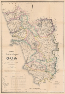
Carta do Territorio Portuguez de Goa Correcta port jose Frederico d'Assa Castel Branco.
sold
- Digital Map Information
- Suitable for large format printing
- Full resolution TIFF file
- ICC color profile embedded
- Delivered instantly via download link
This is an impressive large-scale 1878 first-edition map of Goa by Goa-born military engineer José Frederico d'Assa Castel-Branco. It represents a revolution in the cartographic knowledge of Goa and the finest trigonometrical map of Goa to appear in the 19th century. It was made in response to the signing of the Anglo-Portuguese Treaty of 1878, a major economic treaty that saw massive infrastructure development and the revitalization of the Goan economy after nearly 100 years of isolation and stagnation. (more details)