
Berra, Francisco Antonio (sold)
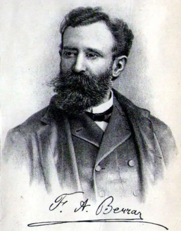
Francisco Antonio Berra (December 3, 1844 - March 13, 1906) was an Argentine lawyer, journalist, historian, and educator who lived and worked primarily in Montevideo, Uruguay. He was born in San Miguel del Monte, Buenos Aires province, but at the age of 8 his family moved to Uruguay. In 1865 he settled in Montevideo to study law at the University, from which he earned a law degree in 1872. He was a member of the Society of Friends of Popular Education and was a friend and colleague with Jose Pedro Varela; the group was instrumental in laying the foundations for public schooling and modern pedagogy in Uruguay. Berra was also active as a lawyer and journalist, with a political focus. It was primarily his writings on pedagogy which would bring him to Buenos Aires in 1882 as part of the first Pedagogical Congress installed in South America, which held sessions in Buenos Aires.
Berra's 'Historical Sketch of the Oriental Republic of Uruguay' fell afoul of government censors during the presidency of Máximo Santos (1882-1886) forcing Berra to flee the country to his native Buenos Aires. Despite this, he remained active in discussing how Uruguayan history ought to be presented in schools, corresponding with Uruguayan historian Carlos María Ramírez. These letters resulted in several published works. He became general director of Schools in the La Plata province in 1894. Apart from a brief return to Montevideo, he would spend his remaining years in La Plata.
Berra's 'Historical Sketch of the Oriental Republic of Uruguay' fell afoul of government censors during the presidency of Máximo Santos (1882-1886) forcing Berra to flee the country to his native Buenos Aires. Despite this, he remained active in discussing how Uruguayan history ought to be presented in schools, corresponding with Uruguayan historian Carlos María Ramírez. These letters resulted in several published works. He became general director of Schools in the La Plata province in 1894. Apart from a brief return to Montevideo, he would spend his remaining years in La Plata.
Most beautiful early Uruguayan map of Uruguay.
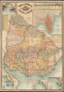
Mapa de la República oriental del Uruguay.
sold
- Digital Map Information
- Suitable for large format printing
- File Size: 2358.68 MB
- File Type: ZIP / TIFF
- ICC color profile embedded
- Delivered instantly via download link
This is a spectacular, folding chromolithograph map of the Republic of Uruguay, published c. 1884 by Uruguay's La Escuela de Artes Y Oficios. It is among the first maps of Uruguay published there, and it appears to be the first official map of the Republic. (more details)