
Besly, Elbert (sold)
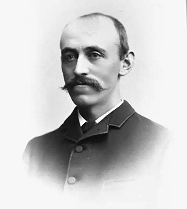
Elbert Besly (fl. c. 1875 - c. 1907) was a publisher bookseller, publisher, and stationer based in Denver, Colorado in the late 19th century. The firm is best known as the original publisher of Nell's Topographical Map of the State of Colorado. The firm, based at 1512 and 1514 Arapahoe, Denver, went out of business in 1896. After leaving the stationers business Besly became president of and acquired controlling interest in the Citizens Commercial and Savings Bank of Denver.
First edition of Nell's important large format map of Colorado.
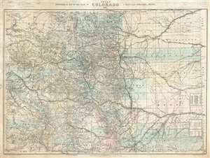
Nell's Topographical Map of the State of Colorado.
sold
- Digital Map Information
- Suitable for large format printing
- File Size: 87.77 MB
- File Type: ZIP / TIFF
- ICC color profile embedded
- Delivered instantly via download link
This is the very rare 1887 first edition of Louis Nell's separate-issue map of Colorado. It is hands down the largest and most detailed map of Colorado to appear after the 1876 statehood. The map painstakingly illustrates topography, names rivers and streams, shows railroads, identifies footpaths, and more. The map is further broken down into counties and Land Office districts. Native American reservations, military reservations, and mining territories are also named. Mountain peaks, many of which have today become popular ski resorts, are named throughout. (more details)