
Blake, William Phipps (sold)
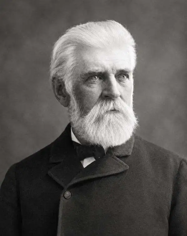
William Phipps Blake (June 1, 1826 – May 22, 1910) was an American geologist, mining consultant, and educator. Blake has been credited with being 'the first college trained chemist employed full-time in American industry' before graduating from Yale. Selected as the mineralogist and geologist of the Pacific Railroad Exploring Expedition in 1853, Blake made several important discoveries, including studying the erosive effects of wind-blown sand in San Gorgonio Pass in California. Several of the sketches he produced for the Railroad Survey reports are not highly sought after as works of art. Over the course of his career, Blake served in several different official government posts, including as the California representative to the Exposition Universelle in Paris in 1867 and to collect and install the mineral exhibit at the Philadelphia Centennial Exposition. Blake also became a sought-after expert witness for testimony in court cases involving the geology of mineral deposits. His final stop in a long an illustrious career was at the University of Arizona, where he served as a Professor of Geology and as Director of the School of Mines.
Important and rare early survey of Texas for the Southern Pacific Railroad.
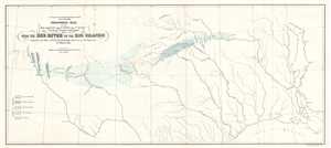
Geological map of the route explored by Capt. Jno. Pope, Corps of Topl. Engrs. near the 32nd parallel of north latitude, 1854.
sold
- Digital Map Information
- Suitable for large format printing
- DPI: 300
- File Size: 2.69 MB
- File Type: ZIP / TIFF
- ICC color profile embedded
- Delivered instantly via download link
This is an 1854 William Phipps Blake geological railroad survey map of Texas from the Red River to the Rio Grande River. The map depicts from the Rio Grande River and El Paso to the Mississippi River and Baton Rouge and from the Red River and its tributaries to the ... (more details)
Blake geological map of one of the proposed routes for the Pacific Railroad.
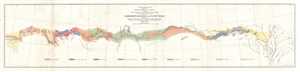
Geological Map of the Route Explored by Lieut. A. W. Whipple, Corps of Topographical Engineers near the parallel of 35 degrees North Latitude from the Mississippi River to the Pacific Ocean. 1853-1854.
sold
- Digital Map Information
- Suitable for large format printing
- DPI: 300
- File Size: 4.04 MB
- File Type: ZIP / TIFF
- ICC color profile embedded
- Delivered instantly via download link
This is an 1854 William Phipps Blake geological map of the American West prepared for the War Department's Pacific Railroad explorations and surveys. The map depicts the western United States from Memphis, Tennessee and the Mississippi River west to Los Angeles, ... (more details)