
Blunt, Edmund March
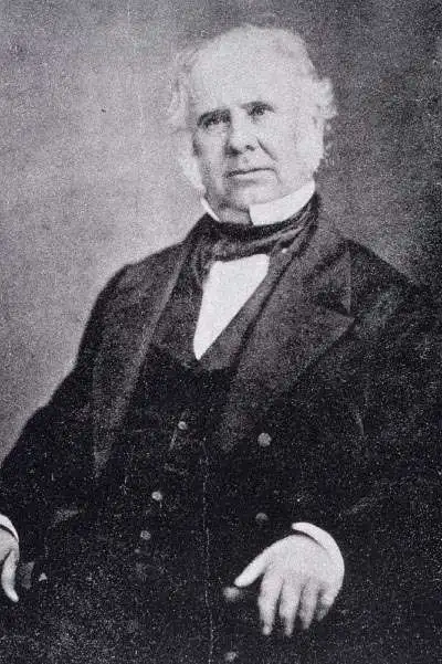
Edmund March Blunt (June 20, 1770 - 1862) was an American navigator, bookseller, chartmaker, and cartographer based in Newburyport, Massachusetts. Blunt was born in Portsmouth, New Hampshire in 1770. In 1796, along with the nominal assistance of prominent navigator Captain Lawrence Furlong, Blunt published The American Coast Pilot, one of the most important published works on American navigation. Although much of the work was plagiarized from British publications, the Coast Pilot was an immediate popular success. In response to the popularity of his work, Blunt published 21 subsequent editions, each with important updates and revisions. The first edition to contain map plates was printed in 1804. Following a fire that destroyed his offices at The Sign of the Bible in 1811, Blunt moved his business to New York and opened a new shop, The Sign of the Quadrant. His sons Edmund Jr. (1799 - 1866) and George William (1802 - 1878), joined the firm in 1824 and eventually took over the family business, renaming the firm 'E. and G. W. Blunt'. They both produced their own nautical books, charts, and instruments, as well as republished their father’s work. In 1830, Edmund accepted a position under Ferdinand Hassler at the United States Office of the Coast Survey. Much of Blunt's original work eventually found its way into U.S. Coast Survey Publications. George closed the firm in 1872 and sold the plates and chart copyrights to the U.S. Coast Survey and the U.S. Navy Hydrographic Office. Due to the quality and detail of Blunt's work, revised editions of his most important charts were republished well into the 1880s.
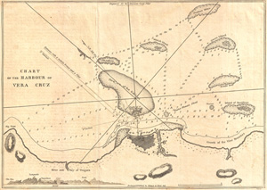
Chart of the Harbour of Vera Cruz.
$175.00
Acquire
- Digital Map Information
- Suitable for large format printing
- DPI: 300
- File Size: 4.91 MB
- File Type: ZIP / TIFF
- ICC color profile embedded
- Delivered instantly via download link
A fine 1809 nautical chart of the Harbor of Veracruz, Mexico by the American nautical chart publisher Eli Blunt. This map identifies the Reef of the Gallician, Island of Sacrifices, Green Island, Whitish Island, river and bay of Vergara, along with the fort of San ... (more details)
Monumental Sea Chart of the Coast of the Northeastern United States.
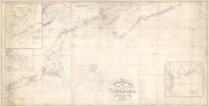
The north eastern coast of North America from New York to Cape Canso, including Sable Island.
$2,000.00
Acquire
- Digital Map Information
- Suitable for large format printing
- DPI: 600
- File Size: 102 MB
- File Type: ZIP / TIFF
- ICC color profile embedded
- Delivered instantly via download link
This is Edmund Blunt's rare, monumental 1840 nautical chart or map of the northeast United States, extending from New York to Cape Canso in Nova Scotia, and is the most authoritative American chart of these waters available at the time. It provides not only granular detail of the coastline, but also detailed soundings for the crucial sailing lanes from Halifax to Boston. It is a working chart - typically referred to as a 'blueback chart' due to the color of the reinforcing paper it was originally mounted to. Rather than contend with multiple charts, mariners typically preferred large charts composed of several sheets: hence the impressive expanse of the present chart. (more details)
Highly detailed chart of the Bahamas and eastern Cuba.
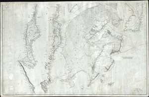
Southern Coast, U. States. Sheet VIII.
$950.00
Acquire
- Digital Map Information
- Suitable for large format printing
- DPI: 300
- File Size: 21.97 MB
- File Type: ZIP / TIFF
- ICC color profile embedded
- Delivered instantly via download link
This is an 1844 Edmund and George William Blunt map of the Bahamas and eastern Cuba. The map depicts the Caribbean from just south of Cuba to Great Abaco, Little Abaco, and the cays to the east of Great Abaco and from the Sagua la Grande River, Cuba and Great Bahama to just east of Santiago de Cuba and Watlings Island. Numerous locations are labeled along the Cuban coast on this highly detailed chart, with a detailed depiction of the small islands and cays situated along the Cuban coastline. The islands of the Bahamas are as meticulously illustrated, with coastal locations, channels, sounds, cays, small islands and other hazards charted. Myriad depth soundings are included, particularly within the Greater Bahama Bank. A note stating the best courses across the Bank is situated on the right side of the map, just below Eleuthera Island. (more details)
Working nautical chart of the Atlantic coast.
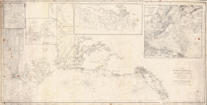
Coast of North America, from Point Judith to Cape St. Antonio (Island of Cuba) Including the Bahama Banks.
$950.00
Acquire
- Digital Map Information
- Suitable for large format printing
- Full resolution TIFF file
- ICC color profile embedded
- Delivered instantly via download link
This is a first edition 1846 Edmund and George William Blunt nautical map of the mid-east coast of the United States featuring manuscript notations. (more details)
Main Trade Route of the Caribbean.
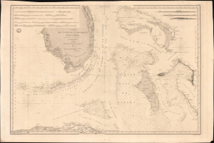
Carte des Canaux de la Providence et de Bahama. D'après la Carte en deux feuilles de E. Blunt de 1847.
$4,000.00
Acquire
- Digital Map Information
- Suitable for large format printing
- Full resolution TIFF file
- ICC color profile embedded
- Delivered instantly via download link
This is a large-format 1851 nautical chart or map of southern Florida and the Bahamas, focusing on the Bahama Banks, produced by the French Dépôt de la Marine. Based on a 1847 chart by American hydrographer Edmund Blunt, the chart represents the most detailed hydrographic information on these notoriously tricky waters available at the time. The map marks a point of rising French trade and activity in the Gulf under the Second Empire. (more details)
The culmination of the Coast Survey's work in New York Harbor.
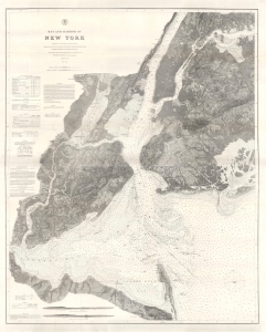
Bay and Harbor of New York.
$1,200.00
Acquire
- Digital Map Information
- Suitable for large format printing
- File Size: 256.04 MB
- File Type: ZIP / TIFF
- ICC color profile embedded
- Delivered instantly via download link
This 1874 double-sized nautical map of New York City represents the ultimate expression of the Coast Survey's work in and around New York harbor. Its refined detail provides not only state-of-the-art navigational information, but also a valuable record of land usage and development. (more details)