
Bond, Fred (sold)
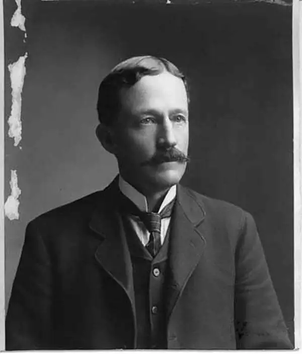
Fred Bond (June 30, 1856 - August 14, 1903) was a surveyor, cartographer, and draftsman active in Iowa and Wyoming during the second half of the 19th century. Bone was born in Sioux City Iowa, to which his mother and farther emigrated from Ohio and Pennsylvania, respectively. He studied at the University of Iowa, from which graduated on June 23, 1880. Following his education, he worked as a bookkeeper and clerk at a wholesale shop in Des Moines, before moving to Cheyenne, Wyoming to take a draftsman's position at the regional surveyor-general's office. In 1889, he became the city engineer of Cheyenne, constructing the city's viaduct and water-works. In 1893 he relocated to Buffalo, Wyoming, where he served also served as city engineer, constructing another waterworks. Returning to Cheyenne, he became the Chief Clerk in the U.S. Surveyor's office there until July of 1899, when he was appointed Wyoming State Engineer. He remained active until at least 1903. He had a twin brother, Frank Bond, who also served as a surveyor and draftsman with the General Land Office in Cheyenne.
The finest commercial map of Wyoming Territory issued at the height of the Wyoming Cattle Boom.
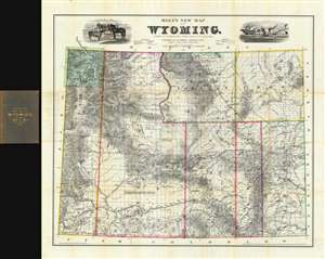
Holt's New Map of Wyoming.
sold
- Digital Map Information
- Suitable for large format printing
- File Size: 85.59 MB
- File Type: ZIP / TIFF
- ICC color profile embedded
- Delivered instantly via download link
A near flawless 1884 second edition of Holt's important and rare separate-issue map of Wyoming Territory. Issued at the height of the Wyoming Cattle Boom (Bubble), Holt's map is considered to be one of the finest maps of Wyoming and the earliest commercially published map to show the territory in significant detail. Throughout, the level of attention to accuracy is extraordinary, with individual residences, ranches, forts, Indian reservations, mining districts, resources, railroads, stage roads, and regular roads named. To the left and right the title, vignettes of cattle and a meat processing plant pay homage to the Wyoming Territory's then bourgeoning cattle industry. In the upper left corner of the map, Yellowstone National Park is mapped with care. (more details)