
Bourcet, Jean Claude (sold)
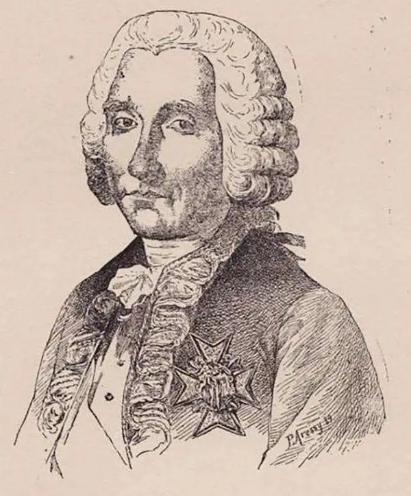
Jean Claude Bourcet (August 15, 1732 - December 28, 1776) Was a French Officer and military engineer. Bourcet was born in Grenoble, France. He served as chief of fortifications in Pondichéry, the linchpin of France's colony in India during the Seven-Years' War. Bourcet died in Pondichéry.
Rare, Detailed Map of the Theatre of the Carnatic Wars and the First Mysore War
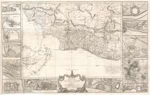
Theatre de la Guerre Dans l'Inde sur la Coste de Coromandel Par M. B. C. T. 1770.
sold
- Digital Map Information
- Suitable for large format printing
- Full resolution TIFF file
- ICC color profile embedded
- Delivered instantly via download link
This superb 1770 map of Tamil Nadu, India was engraved in Paris by P. Croisey and is attributed to Jean Bourcet, the chief French military engineer in the city of Pondicherry during the Seven Years’ War. The map, oriented to the west, shows the Carnatic and the southern Coromandel Coast, which was the theatre of the Carnatic Wars and the First Anglo-Mysore War through 1740s and 1760s. Though often fought locally between the Nawabs of the Carnatic and the Sultanate of Mysore, the conflict was essentially between England’s East India Company and France. (more details)
Rare, detailed map of the Theatre of the Carnatic Wars and the First Mysore War.

Theatre de la Guerre Dans l'Inde sur la Coste de Coromandel Par M. B. C. T. 1770.
sold
- Digital Map Information
- Suitable for large format printing
- Full resolution TIFF file
- ICC color profile embedded
- Delivered instantly via download link
This superb 1770 map of Tamil Nadu, India, was engraved in Paris by P. Croisey and is attributed to Jean Bourcet, the chief French military engineer in the city of Pondicherry during the Seven Years' War (1756 - 1763). The map, oriented to the west, depicts the Carnatic and the southern Coromandel Coast, the theatre of the Carnatic Wars (1744 - 1763) and the First Anglo-Mysore War (1767 - 1799). Though often fought locally between the Nawabs of the Carnatic and the Sultanate of Mysore, the conflict was essentially between the British East India Company and France. (more details)