
Bundaiken Uhei (sold)

Bundaiken Uhei (fl. 1680 - 1720) was Japanese bookseller and publisher active in Kyoto during the early part of the 18th century. His is best known for his publication of Rokashi Hotan's important Buddhist world map, Nansunbushu Bankoku Shoka no Zu (Outline Map of All Countries of the Universe). This map, which attempted to reconcile traditional Buddhist cosmography with modern scientific cartography and European cartographic innovations is one of the most important maps ever printed in Japan. Its composition and wide popularity influence Japanese Buddhist cartography well into the 19th century.
Nansenbushu: First Japanese Printed Map to show European geographical information with Buddhist world-view.
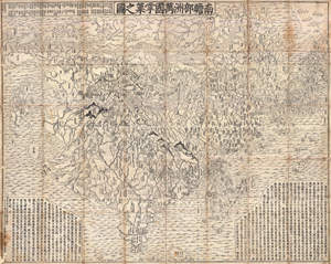
Nansenbushu Bankoku Shoka No Zu (Outline Map of All Countries of the Universe)
sold
- Digital Map Information
- Suitable for large format printing
- DPI: 300
- File Size: 330.31 MB
- File Type: ZIP / TIFF
- ICC color profile embedded
- Delivered instantly via download link
A seminal map of extreme significance. This is the first Japanese printed map to depict the world, including Europe and America, from a Buddhist cosmographical perspective. Printed by woodblock in 1710 (Hoei 7), this map was composed by the Buddhist monk Rokashi ... (more details)
First Japanese Printed Map to show European geographical information with Buddhist world-view.
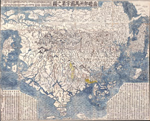
Nansenbushu Bankoku Shoka No Zu (Outline Map of All Countries of the Universe)
sold
- Digital Map Information
- Suitable for large format printing
- Full resolution TIFF file
- ICC color profile embedded
- Delivered instantly via download link
A seminal map. This is the first Japanese printed map to depict the world, including Europe and America, from a Buddhist cosmographical perspective. Printed by woodblock in 1710 (Hoei 7), this map was composed by the Buddhist monk Rokashi Hotan. Inspired by ... (more details)
The first Japanese map of the world from a Buddhist cosmographical perspective - a seminal map.
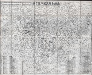
Nansenbushu Bankoku Shoka No Zu (Outline Map of All Countries of the Universe)
sold
- Digital Map Information
- Suitable for large format printing
- DPI: 300
- File Size: 91.94 MB
- File Type: ZIP / TIFF
- ICC color profile embedded
- Delivered instantly via download link
A seminal map of extreme significance. This is the first Japanese printed map to depict the world, including Europe and America, from a Buddhist cosmographical perspective. Printed by woodblock in 1710 (Hoei 7), this map was composed by the Buddhist monk ... (more details)
First Buddhist map of the world.
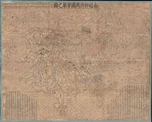
Nansenbushu Bankoku Shoka No Zu (Outline Map of All Countries of the Universe).
sold
- Digital Map Information
- Suitable for large format printing
- DPI: 600
- File Size: 168.79 MB
- File Type: ZIP / TIFF
- ICC color profile embedded
- Delivered instantly via download link
A seminal map of extreme significance. This is the first Japanese printed map to depict the world, including Europe and America, from a Buddhist cosmographical perspective. Printed by woodblock in 1710 (Hoei 7), this map was composed by the Buddhist monk Rokashi Hotan. Inspired by the 1653 publication of Si-yu-ki, a pilgrimage narrative of the Chinese monk Hsuang-Tsang's (602-604) travels to India in search of sacred Sanskrit writings. (more details)