
Carruthers, Alexander Douglas Mitchell (sold)
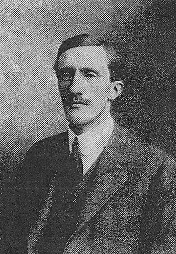
Alexander Douglas Mitchell Carruthers (October 4, 1882 – May 23, 1962) was a British explorer, naturalist and cartographer. His travels took him to the Middle East in the early 20th century. Educated at Haileybury and Trinity in Cambridge, he became secretary to a various scholars active in the Royal Geographical Society, training in surveying. He traveled on behalf of he British Museum to the Congo in 1905-6, and in 1910 took part in an expedition through the desert of Outer Mongolia. After his 1915 marriage he ceased travel, and took employment with the War Office compiling maps of the Middle East. He would come to work with map data provided by such luminaries as Harry St. John Bridgen Philby, Gertrude Bell, Captain William Shakespear, and T. E. Lawrence. He was honorary secratary to the Royal Geographical Society from 1916 to 1921 and was a Fellow of the RGS from 1909 to 1962. He wrote many books. He was also an expert taxidermist, and collected a large number of specimens, some of which are still the only samples of those species in the British Museum.
The Summation of the First European Surveys of Northern Arabia Embracing the History of the Arab Revolt
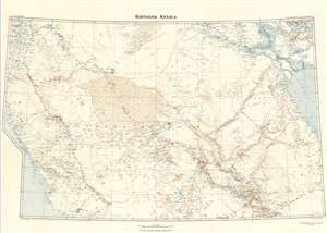
Northern Arabia/ Shakespear's Last Journey. Carruthers. GSGS 2931.
sold
- Digital Map Information
- Suitable for large format printing
- File Size: 46.17 MB
- File Type: ZIP / TIFF
- ICC color profile embedded
- Delivered instantly via download link
This 1922 Royal Geographic Society map of northern Arabia, Jordan, Kuwait and Southern Iraq, capturing the first European surveys of this region, frames the dramatic story of the first efforts on the part of the British government not only to map this previously uncharted part of the world, but also to build alliances in the sweep of the Great War. The map - very probably the work of Douglas Carruthers, but attributed only to the General Staff Geographical Section of the British War Office - has been further overprinted by Carruthers himself to highlight the heroic accomplishments of Captain William Shakespear, the first European to map the north-central part of the Arabian Peninsula and the friend and military advisor to Ibn Saud, the man who would become King of Arabia and founder of the ruling family. (more details)
Summation of the First European Surveys of Northern Arabia Embracing the History of the Arab Revolt.
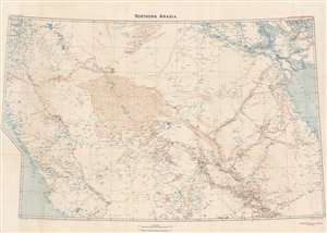
Northern Arabia/ Shakespear's Last Journey. Carruthers. GSGS 2931.
sold
- Digital Map Information
- Suitable for large format printing
- File Size: 51.07 MB
- File Type: ZIP / TIFF
- ICC color profile embedded
- Delivered instantly via download link
This 1922 Royal Geographic Society map of northern Arabia, Jordan, Kuwait and Southern Iraq, capturing the first European surveys of this region, frames the dramatic first British government efforts to map this previously uncharted region and build new alliances before and during World War I (1914 - 1918). The map - very probably the work of Douglas Carruthers but attributed only to the General Staff Geographical Section of the British War Office - has been further overprinted to highlight the heroic accomplishments of Captain William Shakespear, the first European to map the north-central part of the Arabian Peninsula and an advisor to Ibn Saud (1876 - 1953), future King of Saudi Arabia. (more details)