
Cutts, Richard Dominicus (sold)

Richard Dominicus Cutts (September 21, 1817 - December 13, 1883) was an American army officer and civil servant. Born in Washignton, D.C., he attended Georgetown University and graduated in 1835. He volunteered for the Union Army in 1861 and was commissioned as a Colonel and Aide-de-Camp. He served on Major General Henry Wager Halleck's staff until he was made Chief of Staff under Lieutenant General Ulysses S. Grant. He was brefetted to Brigadier General on March 13, 1865, and was mustered out on June 1, 1865. He spent decades working for the U.S. Coast Survey and then the U.S. Coast and Geodetic Survey, where he rose to the position of Assistant in Charge of the Office. Cutts died on December 13, 1883, after contracting an illness during his return from a geodetic conference in Rome. He married Marth Jeffereson Hackley on December 16, 1845.
Before the Great Galveston Hurricane.
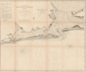
Coast Chart No. 105 Galveston Bay to Oyster Bay Texas.
sold
- Digital Map Information
- Suitable for large format printing
- File Size: 62.38 MB
- File Type: ZIP / TIFF
- ICC color profile embedded
- Delivered instantly via download link
This is the 1870 edition of the U.S. Coast Survey nautical map of Galveston Bay, Texas. When this map was made Galveston was one of the most important American ports on the Gulf of Mexico. In just thirty years, it would be destroyed by the 1900 Great Galveston Hurricane, considered the deadliest natural disaster in United States history and the third-deadliest Atlantic hurricane. (more details)
U.S. Naval Academy.
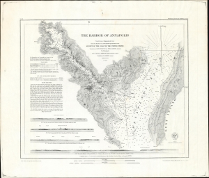
The Harbor of Annapolis.
sold
- Digital Map Information
- Suitable for large format printing
- File Size: 36.9 MB
- File Type: ZIP / TIFF
- ICC color profile embedded
- Delivered instantly via download link
This is the 1874 U.S. Coast Survey nautical map detailing Annapolis Harbor, Maryland, in a scarce separate issue example. (more details)
Striking depiction of Mount Desert Island.
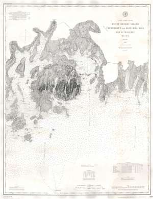
Coast Chart No. 103 Mount Desert Island Frenchman's and Blue Hill Bays and Approaches Maine.
sold
- Digital Map Information
- Suitable for large format printing
- File Size: 60.18 MB
- File Type: ZIP / TIFF
- ICC color profile embedded
- Delivered instantly via download link
This is an 1888 U.S. Coast and Geodetic Survey nautical chart or maritime map of Mount Desert Island, Frenchman's Bay, and vicinity, Maine. With Mount Desert Island situated slightly to the left of center, the map depicts from New Sedgwick and Blue Hill Neck to Pigeon Hill and Pigeon Hill Bay. Mount Desert Island's celebrated topography is illustrated in detail. Roads traverse the island and individual residences are marked but not labeled. Mountain peaks, harbors, points, coves, ponds, and lakes are all identified as well. Other islands throughout are also illustrated, along with harbors, necks, coves, and bays. As this is a nautical chart, countless depth soundings are indicated. (more details)