
Dalzel, Archibald (sold)
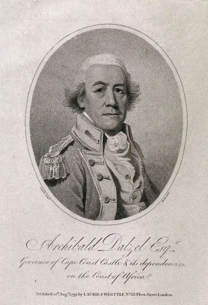
Archibald Dalzel (1740 - 1818) was a Scottish surgeon, slave trader, and historian active in the mid to late 18th century. Dalzel was born in Kirkliston, Scotland, and trained as a doctor in Edinburgh. He was in the employ of the African Company of Merchants from 1763 - 1770 and again from 1791 - 1802. He served the African Company as a surgeon at Anomabo on the Gold Coast. Afterwards, for about four years, he was governor of the Company of Merchants' fort at Whydah, Dahomey (Ouidah, Benin). Near the end of his term at Whydah, he traded with the Dahomey princes for a cargo of some 102 slaves, which he transported and sold in exchange for a promissory note. This note was never paid, and Dalzel was forced into bankrupts by 1773. He must have nonetheless recovered, as there are at least three ships under his name running the African slaver routes in the 1770s, the Little Archie, the Nancy, and the Hannah. He traded slaves under his own name until 1778, when a series of misfortunes, including a privateer attack, forced him again into bankruptcy. After a stint as a privateer himself, Dalzel began captaining slave ships for other owners. In the 1780s he represented the African Company, along with fellow slaver Robert Norris (1740 - 1791), in defending the trade against abolitionist efforts in Parliament. In 1791, he returned to the ful employ African Company, taking a post as governor of the Cape Coast Castle. He composed two books, a lengthy History of Dahomey, which included significant research by Robert Norris, and New Sailing Directions for the Coast of Africa (London, 1799).
For slavers, by slavers.
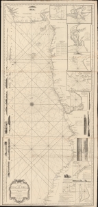
New Chart of the Coast of Africa between Cape Formoso and Cape Negro, with the Adjacent Islands.
sold
- Digital Map Information
- Suitable for large format printing
- DPI: 600
- File Size: 2103.64 MB
- File Type: ZIP / TIFF
- ICC color profile embedded
- Delivered instantly via download link
An intriguing 1794 nautical map of West Africa south of the Bite of Biafra. The chart was issued by Laurie and Whittle, but made for the African slave trade based on the detailed reports of prominent slavers and slave ship captains: Robert Norris, William Woodville, and Archibald Dalzel. It appeared at the height of the Triangle Trade, when countless Africans were captured and sold into captivity in the Americas. As such, the chart offers significant insights into the African Trade along central-west coasts. (more details)