
Putter, Abraham De (sold)

A. Abraham De Putter (fl. c. 1700 - 1740) was a Dutch artist as well as a map and architectural engraver active in Amsterdam during the first half of the 18th century. De Putter is better known for his architectural engravings and paintings than his maps, which are few.
Stunning early 18th century birds-eye view of Malta.
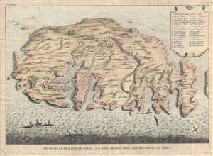
D'Oude Schets Van Het Eyland Malta, alwaer, Paulus Na Zyn Schipbreuk Aenlandde . Act. XXVII.1.
sold
- Digital Map Information
- Suitable for large format printing
- Full resolution TIFF file
- ICC color profile embedded
- Delivered instantly via download link
A scarce and visually stunning Augustin Calmet 1729 topographical map and view of Malta. The map, which is oriented with north in the lower right corner, illustrates the island in full from a birds-eye perspective, with mountains, buildings, trees, and ... (more details)
Early 18th century birds-eye view of Malta.
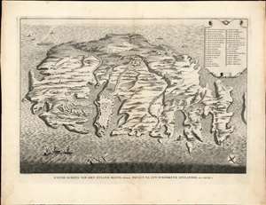
D'Oude Schets Van Het Eyland Malta, alwaer, Paulus Na Zyn Schipbreuk Aenlandde . Act. XXVII.1.
sold
- Digital Map Information
- Suitable for large format printing
- DPI: 300
- File Size: 10.58 MB
- File Type: ZIP / TIFF
- ICC color profile embedded
- Delivered instantly via download link
A scarce and visually stunning Augustin Calmet 1729 topographical map and view of Malta. The map / view is oriented to the southwest and illustrates the island from a bird's-eye perspective, with mountains, buildings, trees, and fortifications rendered in profile. The fortifications of Valletta are clearly visible as are various small towns, fortifications, and lookout towers. A key in the upper right quadrant corresponds to numerical references found throughout the map. (more details)
Early 18th century birds-eye view of Malta.
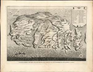
D'Oude Schets Van Het Eyland Malta, alwaer, Paulus Na Zyn Schipbreuk Aenlandde. Act. XXVII. 1.
sold
- Digital Map Information
- Suitable for large format printing
- Full resolution TIFF file
- ICC color profile embedded
- Delivered instantly via download link
A scarce and visually stunning Augustin Calmet 1729 topographical map and view of Malta. The map / view is oriented to the southwest and illustrates the island from a bird's-eye perspective, with mountains, buildings, trees, and fortifications rendered in profile. The fortifications of Valletta are clearly visible as are various small towns, fortifications, and lookout towers. A key in the upper right quadrant corresponds to numerical references found throughout the map. (more details)