
Dury, Andrew (sold)

Andrew Dury (fl. 1742 - 1778) was a London based engraver, map publisher, and map seller working in the mid to late 18th century. Little is known of Dury's life. Hw was likely born in Ireland, but spent considerable time in Paris until about 1754. He first appeares in Dublin in 1754, possibly in the company of John Rocque (1704 - 1762), which whom he is closely associated. At that time he advertised himself as an engraver 'Late of Paris'. His imprint often appears on the work of a number of prominent London publishers from Sayer and Bennet to Laurie and Whittle and Gentlemans' Magazine.
Best map of the Hudson Valley at the outset of the American Revolution.
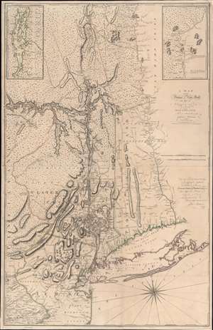
A Map of the Province of New-York, with Part of Pensilvania, and New England.
sold
- Digital Map Information
- Suitable for large format printing
- Full resolution TIFF file
- ICC color profile embedded
- Delivered instantly via download link
This is John Montresor's striking 1775 map of New York and the surrounding regions - considered the best and most authoritative map of the region at the beginning of the American Revolutionary War (1775 - 1783). (more details)
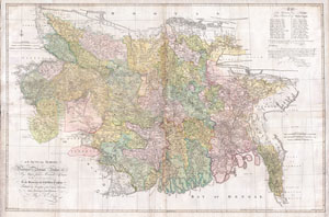
An Actual Survey, of the Provinces of Bengal, Bahar & c. by Major James Rennell Esq. Engineer to the Honorable the East India Company. Published by Permission of the Court of Directors from a Drawing in their Possession by A. Dury.
sold
- Digital Map Information
- Suitable for large format printing
- DPI: 300
- File Size: 117.03 MB
- File Type: ZIP / TIFF
- ICC color profile embedded
- Delivered instantly via download link
An altogether spectacular wall sized map of those parts of Bengal and Bihar, India. Follows the course of the Ganges River from Varanasi (Benares) eastward to the Ganges Delta and the Bay of Bengal. Includes Varanasi (Benares), Dacca (Dahka, Bengladesh), and ... (more details)
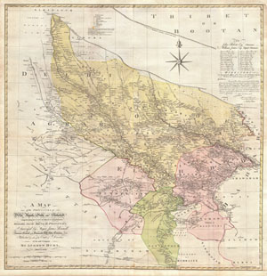
A Map of the Provinces of Delhi, Agrah, Oude, and Ellahabad, comprehending the Countries lying between Delhi, and the Bengal-Provinces, Surveyed by Major James Rennell, Surveyor General to the Honorable East-India Company, and Published by order of the Court of Directors of the said Company. By Andrew Dury, MDCCXXVII.
sold
- Digital Map Information
- Suitable for large format printing
- DPI: 300
- File Size: 82.56 MB
- File Type: ZIP / TIFF
- ICC color profile embedded
- Delivered instantly via download link
An altogether spectacular wall sized map of those parts of India near Delhi, Agra and Varanasi. Covers from Delhi in the northwest as far east along the Ganges River as Bihar and as far south as Sohagepour. Includes Varanasi (Benares), Lucknow, Gorakhpur and ... (more details)