
Seth Eastman (sold)
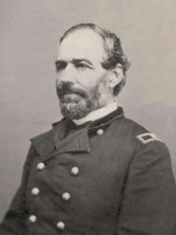
Seth Eastman (January 24, 1808 - August 31, 1875) was a U.S. Army officer, painter, and cartographer. Born in Brunswick, Maine, Eastman was the eldest of thirteen children. He entered the United States Military Academy at West Point, at the ages of sixteen, in 1824 and graduated in 1829 as a second lieutenant in the 1st Infantry Regiment. While at West Point he studied topographic drawing under Robert W. Weir, and employed his skill as an artist throughout his career in the army. In 1830, Eastman was assigned to Fort Snelling, which was located near present-day Minneapolis, in the Minnesota Territory. His tour of duty at Fort Snelling Eastman lasted three years, and while there Eastman learned the Sioux language and painted and sketched many scenes of American Indian life. During this tour of duty, Eastman married Wakan Inajin-win (Stands Sacred), the fifteen-year-old daughter of a Dakotah (Santee Sioux) chief. They had a daughter together in 1832, shortly before Eastman was reassigned from Fort Snelling to teach drawing at West Point. Before leaving he declared his marriage ended, a common practice of European-American men who abandoned Indian women and children. Eastman married the daughter of a West Point surgeon, Mary Henderson, in 1835, with whom he had five children. After seven years at West Point, Eastman was reassigned to Fort Snelling in 1841 and appointed the fort's commanding officer. Eastman is best known for illustrating Henry Rowe Schoolcraft's book entitled Information Regarding the History, Conditions, and Prospects of the Indian Tribes of the United States. He is also known for his paintings, particularly those commissioned by the House Committee on Military Affairs to paint pictures of seventeen important forts. These seventeen paintings were completed between 1870 and 1875, eight of which still hang in the Senate Wing.
A definitive early map of the Hopi (Moqui) pueblos in New Mexcio and Arizona.
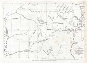
Map of the South western part of New Mexico.
sold
- Digital Map Information
- Suitable for large format printing
- DPI: 300
- File Size: 1.28 MB
- File Type: ZIP / TIFF
- ICC color profile embedded
- Delivered instantly via download link
This is an 1853 Seth Eastman map of New Mexico and Arizona focusing on the seven Moqui or Hopi pueblos. The map depicts the region from the Colorado River to the Rio Grande del Norte and the cities of Santa Fe and Taos, New Mexico, and from Utah to the Gila River ... (more details)