
Flamme, Jules César Constant (sold) (Jules Flamme)
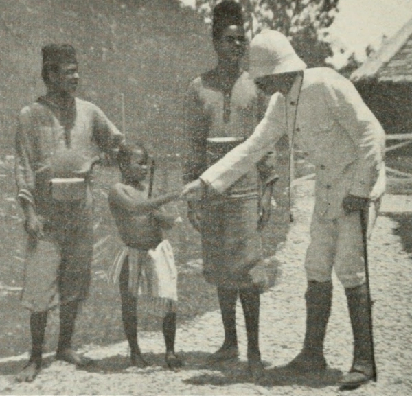
Jules César Constant Flamme (February 15, 1866 - September 7, 1943) was a Belgian cartographer, military officer, colonial administrator, and author active in the Congo and Brussels during the late 19th and early 20th centuries. Born in Brussels, he enlisted in the 1st Regiment of Guides in 1886 and joined the Force Publique as a second lieutenant in November 1899. His Congolese service included reconnaissance toward the White Nile, Ruwenzori, and Aruwimi forests and the establishment of a colonial post at Mahagi. Ill health brought him back to Belgium in 1902; he returned to the Congo as an administrative agent in 1904, serving in the Stanley-Pool district and later at Boma, before another medical return and renewed service in the Belgian army. His geographical publications included administrative maps and gazetteers intended to organize information about settlements, territorial divisions, and communications. His Carte administrative du Congo belge et de ses voies de communication, published in Brussels by Lesigne, appeared in successive interwar editions, including those of 1929, 1930, and 1939. The 1930 edition was credited as a compilation from the Ministry of Colonies' cartographic service documents and drawn by Fr. Menger. Flamme also compiled the Recueil des localités du Congo belge et des territoires Ruanda-Urundi, published by Lesigne in 1927 with an administrative map and information drawn from official and commercial documents. His other writings included Dans la Belgique africaine (1908) and ethnographic studies concerning the regions around Lakes Albert and Kivu. He died at Ixelles on September 7, 1943.
AKA: Jules Flamme
Coffee, Cotton, and Mines.
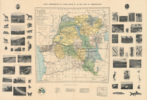
Carte administrative du Congo belge et de ses voies de communication.
sold
- Digital Map Information
- Suitable for large format printing
- Full resolution TIFF file
- ICC color profile embedded
- Delivered instantly via download link
This Jules Flamme 1930 illustrated wall map of the Belgian Congo combines administrative and transport geography with a photographic survey of colonial production. Mines, processing works, and plantation agriculture occupy the margins alongside wildlife and botanical specimens, presenting the territory as both a natural treasury and an industrial enterprise. Its royal portraits give this economic geography a dynastic framework. Published in the year of Belgium's centenary, the map belongs to a period when public celebration of the colonial undertaking increasingly rehabilitated Leopold II as its founding figure. (more details)