
Gast, August (sold)

August Gast (c. 1892 - 1900) was a printer and publisher active in St. Louis and New York in the late 19th century. Gast, though stylizing himself as a "map publisher" was mostly focused on bank note and revenue stamp lithography. Gast's business took off in 1893 when the Revenue Act of March 3 1883 repealed the two cent tax on checks and drafts. Consequently check and other bank notes no longer required an affixed revenue stamps, however, the public, familiar with such, proved suspicious of any such document that did not bear a official stamp. Thus a flourishing publishing business emerged in which bank and other documents were printed with semi-official "tax" stamps. Gast was one of the most prominent such publishers active in both New York and the Midwest.
Cattle country.
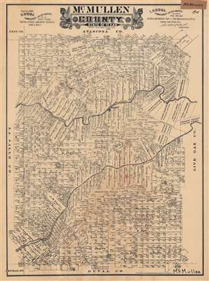
McMullen County. State of Texas.
sold
- Digital Map Information
- Suitable for large format printing
- File Size: 61.43 MB
- File Type: ZIP / TIFF
- ICC color profile embedded
- Delivered instantly via download link
This is a very rare 1889 plat or cadastral map of McMullen County, Texas produced by Augustus Gast for the Texas General Land Office. It shows the demarcation of properties and their owners in the South Texas county, which was and remains primarily ranchland. (more details)
The world's first cane map - a rare novelty from the 1893 Columbian Exposition showing Buffalo Bill's Wild West Show.
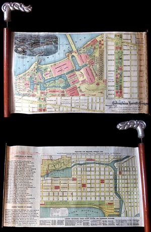
An extremely rare and unusual cane and map prepared in 1893 for the Chicago World's Fair or, as it is better known, the 1893 Columbian Exposition. This is the earliest known example of a cane map. The genre was invented by the Columbian Novelty Company and, as ... (more details)
The world's first cane map - a rare novelty from the 1893 Columbian Exposition showing Buffalo Bill's Wild West Show.
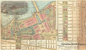
Columbian Novelty Company.
sold
- Digital Map Information
- Suitable for large format printing
- File Size: 5.74 MB
- File Type: ZIP / TIFF
- ICC color profile embedded
- Delivered instantly via download link
An extremely rare and unusual map prepared in 1893 for the Chicago World's Fair or, as it is better known, the 1893 Columbian Exposition. Although separated from the cane (not present) in the current example, this is the earliest known map printed specifically ... (more details)