
Larsch, Alberto (sold)

Alberto Larsch (fl. c. 1875 – 1895) was a map printer active in Buenos Aires in the late 19th century who often lithographed maps by the prominent topographer and geographer Arturo Seelstrang.
Argentina's subjugation of the frontier.
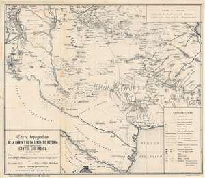
Carta topografica de la pampa y de la linea de defensa (actual y proyectada) contra los Indios.
sold
- Digital Map Information
- Suitable for large format printing
- File Size: 30.74 MB
- File Type: ZIP / TIFF
- ICC color profile embedded
- Delivered instantly via download link
Produced to introduce Argentina to a global audience at the 1876 Philadelphia Centennial Exposition, this map by military engineer F.L. Melchert is also a record of the Argentinian state's campaign to control and ultimately expel indigenous people from Patagonia and the Pampas. (more details)
'The Conquest of the Desert.'
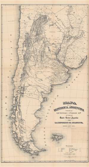
Mapa de la Republica Argentina.
sold
- Digital Map Information
- Suitable for large format printing
- File Size: 142.66 MB
- File Type: ZIP / TIFF
- ICC color profile embedded
- Delivered instantly via download link
This is an important 1876 map of Argentina by Arturo Seelstrang and A. Tourmente produced for the Philadelphia Centennial Exposition to highlight the development and modernization of Argentina. Due to its comprehensiveness and accuracy, it became one of the most influential maps of Argentina in the late 19th century. (more details)