
Mahon, Charles (sold)

Charles Mahon (February 26, 1824 - January 8, 1903) was an American cartographer and civil engineer. Mahon made maps for the United States government as early as the 1850s (when he first appears on a U.S. Census living in Washington D.C.) and remained on the payroll of the U.S. Coast and Geodetic Survey through the 1890s. He married Minna Sarah Legare in 1863, with whom he had five children.
Definitive moment in the American understanding of rivers.
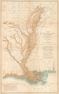
U.S. Miss. Delta Survey. Plate II. Map of the Alluvial Region of the Mississippi.
sold
- Digital Map Information
- Suitable for large format printing
- File Size: 20.75 MB
- File Type: ZIP / TIFF
- ICC color profile embedded
- Delivered instantly via download link
This is Andrew A. Humphreys and Henry L. Abbot 1861 map of the Mississippi River alluvial region, from Cape Girardeau through New Orleans and into the Gulf of Mexico. Produced on the eve of the American Civil War (1861 - 1865), the map marks a major advancement in the understanding of rivers and their flows, particularly the Mississippi River. (more details)
Definitive moment of the American understanding of Rivers.
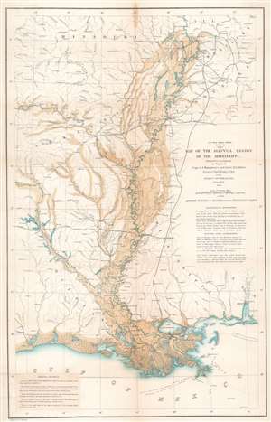
U.S. Miss. Delta Survey. Plate II. Map of the Alluvial Region of the Mississippi.
sold
- Digital Map Information
- Suitable for large format printing
- File Size: 23.97 MB
- File Type: ZIP / TIFF
- ICC color profile embedded
- Delivered instantly via download link
This is an 1861 Andrew A. Humphreys and Henry L. Abbot map of the Mississippi River alluvial region. Depicting from Jonesboro, Illinois, south to the Gulf of Mexico and from Fort Smith, Missouri, east to Clarksville, Tennessee, the region's river network is depicted in detail. Blue hand coloring highlights major rivers, including the Mississippi, Ohio, Arkansas, and Red Rivers, along with numerous lakes. Smaller rivers and creeks are marked by thin black lines. Overflow areas are shaded brown. Railways, such as the Memphis and Little Rock Railroad, the Shreveport and Texas Railroad, and the Cairo and Fulton Railroad, are illustrated and labeled. (more details)