
Maryland Geological Survey (sold)

Maryland Geological Survey (1896 - Present) is a division of the Maryland state government charged with 'investigating the earth resources' in the state. This includes geologic mapping, topographic and geophysical mapping, environmental geology, water-resources investigations, geology of mineral resources, and coastal and estuarine geology. In 1969, the Maryland Geological Survey became an agency within the Department of Natural Resources, and in 1995 it became a a division of the Department of Natural Resources Resource Assessment Service.
Johns Hopkins University!
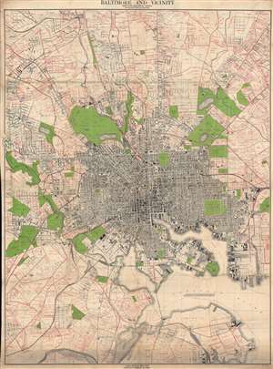
Baltimore and Vicinity.
sold
- Digital Map Information
- Suitable for large format printing
- File Size: 115.99 MB
- File Type: ZIP / TIFF
- ICC color profile embedded
- Delivered instantly via download link
This is a 1916 Maryland Geological Survey city plan or map of Baltimore, Maryland, and its environs. Coverage extends from Mount Washington to Brooklyn, Baltimore. Individual buildings are illustrated but rarely identified. Among the identified locations are Johns Hopkins University, Union Station, the Mount Vernon [Train] Shops, and the City Jail. Piers on the basin are identified by opperator. Red overprinting marks estates and other large property holdings both within and outside the city limits. (more details)