
Metsker, Charles Frederick (Metsker the Map Man)
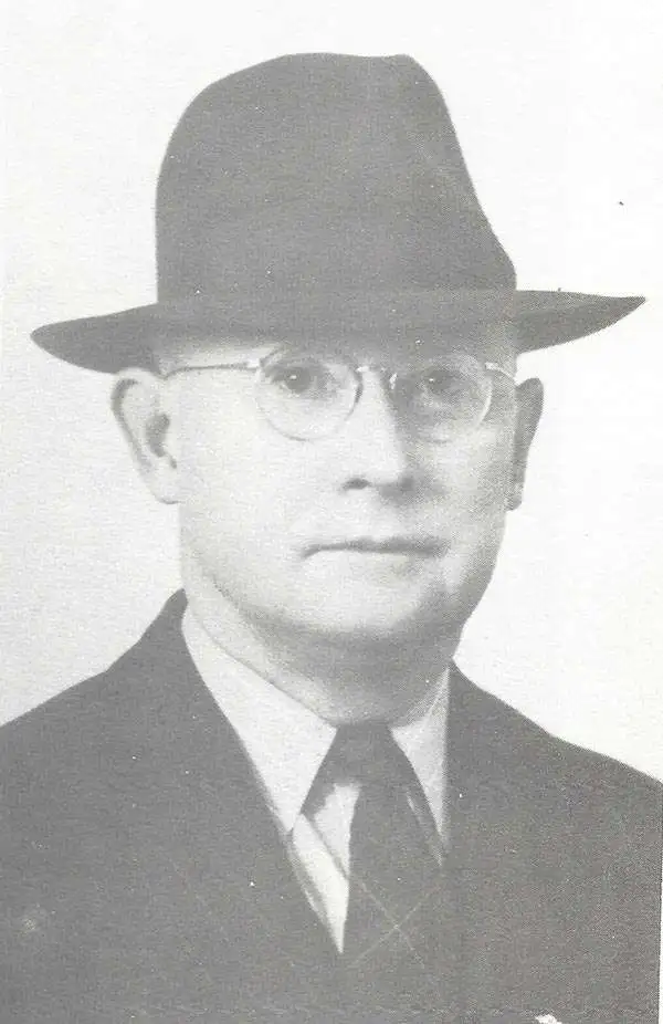
Charles Frederick Metsker (December 5, 1881 - October 6, 1966) was an American cartographer and publisher. Born in Douglas County, Kansas, Metsker's family moved to Winlock, Washington, in 1900. Metsker began publishing maps in 1901 in Tacoma, Washington. By the 1920s he was advertising as 'Metsker the Map Man' in Washington and Oregon newspapers. He opened a brick and mortar store in 1950 in Seattle and sold Township maps and atlases and County maps. He married Minnie B. Clevenger (1888 - 19xx) on May 11, 1905, with whom he had two children. They divorced sometime between 1910 and 1920. He married Elizabeth F. Metsker (1899 - 1982) on November 6, 1922, with whom he had a daughter. He retired in 1948 when he turned the business over to his son. He died in McMinnville, Oregon, at the age of 84. Metsker Maps joined forces with the Kroll Map Company, another Seattle-based mapmaker, in 1980. Metsker Maps continues to operate in Seattle to this day, where they can be visited at the Pike Place Market in the Sanitary Market Building.
AKA: Metsker the Map Man
Supplying the War Effort.
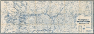
Metsker's Map of Skagit County, Washington.
$350.00
Acquire
- Digital Map Information
- Suitable for large format printing
- Full resolution TIFF file
- ICC color profile embedded
- Delivered instantly via download link
This is a 1942 Metsker map of Skagit County, Washington. The map captures the county at the peak of World War II (1939 - 1945), when it funneled critical manpower and natural resources to the war effort through nearby military bases in Island County. (more details)
Largest Hydroelectric Dam in North America.
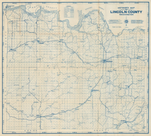
Metsker's Map of Lincoln County Washington.
$250.00
Acquire
- Digital Map Information
- Suitable for large format printing
- File Size: 37.22 MB
- File Type: ZIP / TIFF
- ICC color profile embedded
- Delivered instantly via download link
This is Charles F. Metsker's 1943 survey map of Lincoln County, Washington. Among other features, it is notable for including the Grand Coulee Dam (which was completed the previous year) and reflecting the changes it brought to the area. (more details)
Visit Mt. Rainier.
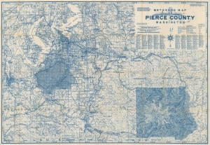
Metskers Map of Pierce County Washington.
$200.00
Acquire
- Digital Map Information
- Suitable for large format printing
- Full resolution TIFF file
- ICC color profile embedded
- Delivered instantly via download link
This is a 1945 Charles Metsker map of Pierce County, Washington. The map highlights Mt. Rainier and details its immediate surroundings in the months before the end of World War II (1939 - 1945). (more details)
Island county emerging as a military hub and tourist destination.
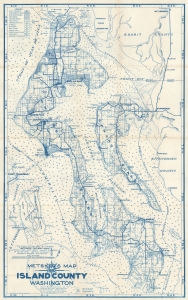
Metsker's Map of Island County, Washington.
$350.00
Acquire
- Digital Map Information
- Suitable for large format printing
- Full resolution TIFF file
- ICC color profile embedded
- Delivered instantly via download link
This is a 1951 Metsker map of Island County, Washington. The map captures the scenic island county as it emerged as a major regional military center and tourist destination. (more details)