
Metsker, Charles Frederick (sold) (Metsker the Map Man)
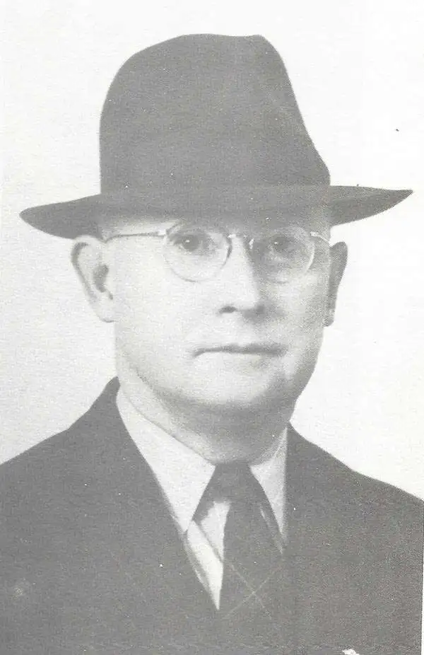
Charles Frederick Metsker (December 5, 1881 - October 6, 1966) was an American cartographer and publisher. Born in Douglas County, Kansas, Metsker's family moved to Winlock, Washington, in 1900. Metsker began publishing maps in 1901 in Tacoma, Washington. By the 1920s he was advertising as 'Metsker the Map Man' in Washington and Oregon newspapers. He opened a brick and mortar store in 1950 in Seattle and sold Township maps and atlases and County maps. He married Minnie B. Clevenger (1888 - 19xx) on May 11, 1905, with whom he had two children. They divorced sometime between 1910 and 1920. He married Elizabeth F. Metsker (1899 - 1982) on November 6, 1922, with whom he had a daughter. He retired in 1948 when he turned the business over to his son. He died in McMinnville, Oregon, at the age of 84. Metsker Maps joined forces with the Kroll Map Company, another Seattle-based mapmaker, in 1980. Metsker Maps continues to operate in Seattle to this day, where they can be visited at the Pike Place Market in the Sanitary Market Building.
AKA: Metsker the Map Man
America's Lumber Capital.
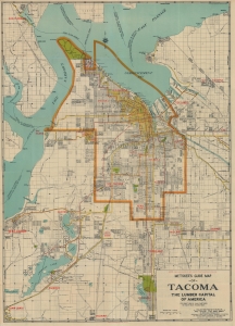
Metsker's Guide Map of Tacoma The Lumber Capital of America.
sold
- Digital Map Information
- Suitable for large format printing
- File Size: 26.25 MB
- File Type: ZIP / TIFF
- ICC color profile embedded
- Delivered instantly via download link
This is a 1923 Charles Metsker city plan or map of Tacoma, Washington, and its environs. The map celebrates Tacoma's rise as the Lumber Capital of the Pacific Northwest. It is also significant for its illustration of the ephemeral Tacoma streetcar system and the city's fast transition to paved automobile roads. (more details)
Land reclamation projects by Fort Lawton and the West Point Light House?
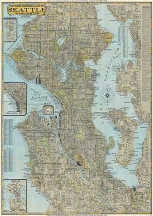
Metsker's Reference Map of Seattle Washington.
sold
- Digital Map Information
- Suitable for large format printing
- Full resolution TIFF file
- ICC color profile embedded
- Delivered instantly via download link
This is a 1949 Charles Metsker city plan or map of Seattle, Washington. Coverage extends from Haller Lake south to Foster and from the West Point Lighthouse and Shilshole Bay to the eastern shore of Lake Washington. Districts are identified throughout, and an alphabetic index is included in Lake Washington. Piers in Elliott Bay are identified by the operating company and numerous boathouses are marked. Parks and golf courses are illustrated as green spaces. The Lake Washington Floating Bridge (today known as the Lacey V. Murrow Memorial Bridge and Homer M. Hadley Memorial Bridge) is depicted, and pontoons, anchor cables, and ship channels along the bridge are marked. The University of Washington, the U.S. Naval Air Base, and Fort Lawton are illustrated. (more details)
Natural wonders of the Olympic Peninsula.
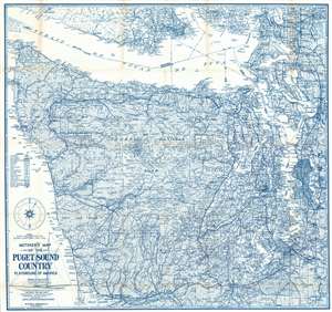
This is a 1957 Charles Metsker map of the Olympic Peninsula, Washington. Depicting from southern British Columbia to Grays Harbor, Mesker paints the peninsula as an outdoor 'playground'. Both Olympic National Park and Olympic National Forest are illustrated and labeled. The region's rivers, mountain peaks, and other outdoor sights are identified, along with the camps and cabins where outdoor enthusiasts can stay. Seattle, Tacoma, and other cities ] and also labeled, along with military bases. (more details)