
Muller, Johann Sebastian (sold)
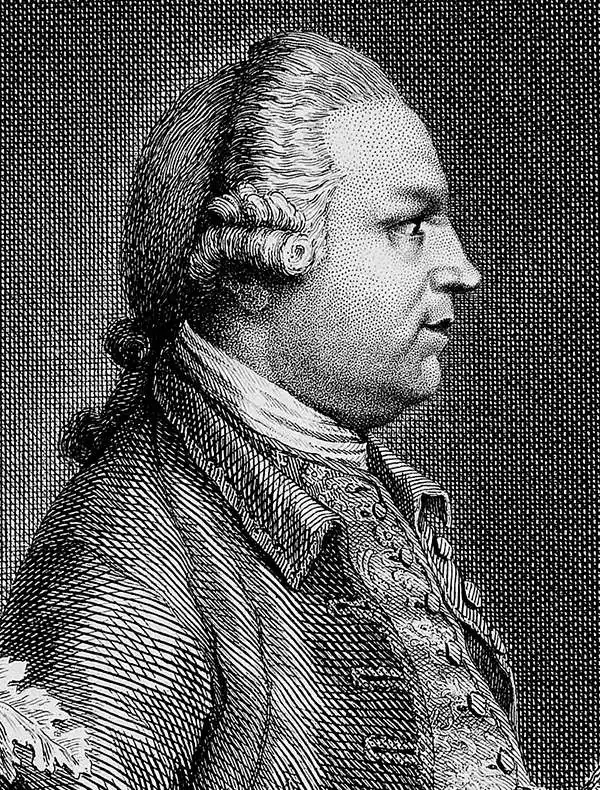
Johann Sebastian Muller (1715 - June, 1792), also known as John Sebastian Miller, was a German born generalist engraver active in London during the middle part of the 18th century. Muller was born in Nuremberg, Germany. He must have shown little aptitude for his father's profession, gardening, instead training as an engraver under Martin Tyroff. He moved to London with his Brother, Tobias Muller (Miller) in 1744. He took work with art-dealer Arthur Pond before starting to engrave on his own account around 1748. His work was exhibited at the Society of Artists in 1767. Muller was not specifically a map engraver, and his cartographic corpus is, thus, small and limited to a series of map engraved for William Drummond to illustrate his travels in the Levant, specifically Cyprus and Syria. Nonetheless, the maps from this volume are significant works that significantly influenced subsequent cartography in their respective regions. Muller was survived by two sons, John Frederick Miller and James Miller, both of whom also became engravers.
Engraved after a painting by Canaletto.
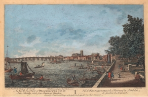
A North East View of Westminster with the New Bridge, taken from Somerset Garden. / Vue de Westminster et du Pont-neuf au Nord-Est du Jardin de Somerset.
sold
- Digital Map Information
- Suitable for large format printing
- DPI: 600
- File Size: 26.51 MB
- File Type: ZIP / TIFF
- ICC color profile embedded
- Delivered instantly via download link
This is a c. 1751 Robert Sayer view of the Thames River, Westminster Bridge, and Westminster Abbey in London, England. Boats occupy the foreground with Somerset Garden on the right. Westminster Bridge spans the Thames in the middle ground with Westminster Abbey rising above the London skyline to its right. Referred to here as 'the New Bridge', Westminster Bridge opened on November 18, 1750. (more details)
The first map of norhtern Syria produced from actual surveys.
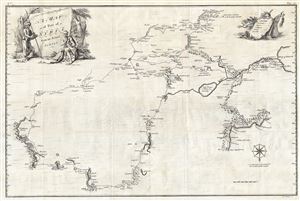
A Map of Part of Syria from an Actual Survey.
sold
- Digital Map Information
- Suitable for large format printing
- DPI: 300
- File Size: 22.03 MB
- File Type: ZIP / TIFF
- ICC color profile embedded
- Delivered instantly via download link
An extremely uncommon 1754 map of Syria by Alexander Drummond. Most likely the earliest scientifically surveyed map of the interior of northern Syria. Oriented to the south, the map is roughly centered on Aleppo, where Drummond was stationed as British Consul. ... (more details)