
Navarro, Angel Laborde y (sold)
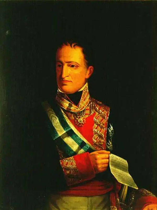
Angel Laborde y Navarro (August 2, 1772 - April 4, 1834) was a Spanish Marine and Naval Commander active in the early part of the 19th century. Navarro had a loud and distinguished military career and was active in numerous naval campaigns, most of which were in the Caribbean. Navarro established a reputation as a cleaver tactician and strategist able to find a path to victory in even the most dire circumstances. In 1832, near the end of his days, he was appointed Minister of Marine by Royal Decree. Though he maintained the position for only two years, he instigated a number of important surveys and wrote a book on naval combat. In 1833, for his accomplishments, he was awarded the Cruz de Isabel la Catolica, a high military honor. Navarro died in Havana, Cuba, in 1834.
Scarce Spanish nautical chart of Cuba.
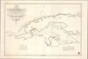
Carta Esferica de una Parte de la Costa Setentrional y Meridional de la Isla de Cuba … 1834.
sold
- Digital Map Information
- Suitable for large format printing
- Full resolution TIFF file
- ICC color profile embedded
- Delivered instantly via download link
This is an 1854 Direccion Hidrografica nautical chart or maritime map of the western part of Cuba, an update of a chart originally published in 1837. It demonstrates the difficulties of navigating the coastal waters off the coast of Cuba, due to shallow waters, strong currents, numerous hazards, and a lack of good anchorages. (more details)
Scarce Spanish nautical chart of Cuba.
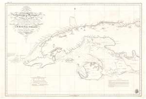
Carta Esferica de una Parte de la Costa Setentrional y Meridional de la Isla de Cuba … 1834.
sold
- Digital Map Information
- Suitable for large format printing
- Full resolution TIFF file
- ICC color profile embedded
- Delivered instantly via download link
This is a dramatic and rare 1854 Direccion Hidrografica nautical chart or maritime map of the western part of Cuba. The map depicts the West India island from Cape San Antonio eastward as far as the Gulf of Cazones. It includes the Isla de Pinos and the city of Havana. Countless depth soundings are indicated, along with notes on the construction of the chart and navigation. Some inland detail is included, such as a number of important mountains as well as the villages of Guanajayu, San Antonio de los Banos, San Antonio de Bedia, Manajau, Madruga, among others. While generally black and white, yellow and red markers denote lighthouses. A directional title cartouche appears in the upper left quadrant. The logo of the Direcction Hidrografica is situated in the lower right. (more details)
Extremely scarce Spanish nautical chart of Cuba.
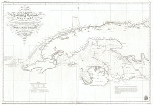
Carta Esferica de una Parte de la Costa Setentrional y Meridional de la Isla de Cuba … 1834.
sold
- Digital Map Information
- Suitable for large format printing
- DPI: 300
- File Size: 18.88 MB
- File Type: ZIP / TIFF
- ICC color profile embedded
- Delivered instantly via download link
This is a dramatic and exceptionally rare 1854 nautical chart or map of the western part of Cuba by the Spanish mapping agency, Direccion Hidrografica . Covers the West India island from Cape San Antonio eastward as far as the Gulf of Cazones. Includes the Isla ... (more details)