
Neuman, Louis E. (sold)

Louis E. Neuman (Oct. 1835 - October 2, 1902) was a German-American engraver and lithographer active in New York. Born in Prussia, Neuman arrived in the United States in 1856. He began working as a map engraver and opened a business with Herman Dinglinger in 1878 as Neuman and Dinglinger, which specialized in lithographed cigar box labels. In 1882 the company became known as Louis E. Neuman and Company.
Turning Point of the Civil War.
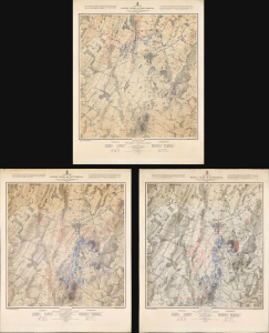
Map of the Battle Field of Gettysburg. July 1st, 2nd, 3rd 1863. First Day's Battle / Second Day's Battle / Third Day's Battle.
sold
- Digital Map Information
- Suitable for large format printing
- Full resolution TIFF file
- ICC color profile embedded
- Delivered instantly via download link
This is John Badger Bachelder's foundational 1876 set of three large-format maps of the Battle of Gettysburg, the definitive turning point of the American Civil War (1861 - 1865). Bachelder had dedicated much of the 13 years since the battle had taken place to researching it, making him the foremost authority on it, resulting in these maps being the definitive contemporaneous account. (more details)
Published the year after the Adirondack Park was created.
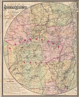
Map of the Adirondack Wilderness.
sold
- Digital Map Information
- Suitable for large format printing
- Full resolution TIFF file
- ICC color profile embedded
- Delivered instantly via download link
This is an 1895 Seneca Ray Stoddard map of the Adirondacks, New York, highlighting the Adirondack State Park. This one of the earliest obtainable commercial maps of the Adirondack Wilderness, published only 2 years after the park's founding, at the height of the Naturalist Movement and the Adirondack Gilded Age. (more details)
Published shortly after the Adirondack Park was created.
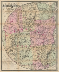
Map of the Adirondack Wilderness.
sold
- Digital Map Information
- Suitable for large format printing
- Full resolution TIFF file
- ICC color profile embedded
- Delivered instantly via download link
This is a 1900 Seneca Ray Stoddard map of the Adirondacks, New York, highlighting the Adirondack State Park. This is one of the earliest obtainable commercial maps of the Adirondack Wilderness, published not long after the park's founding, at the height of the Naturalist Movement and the Adirondack Gilded Age. Stoddard's maps are much admired for expressing not only the geography, but also the character of the Adirondacks. (more details)
Published shortly after the Adirondack Park was created.
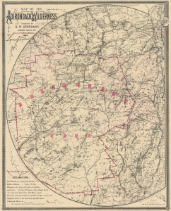
Map of the Adirondack Wilderness.
sold
- Digital Map Information
- Suitable for large format printing
- File Size: 45.34 MB
- File Type: ZIP / TIFF
- ICC color profile embedded
- Delivered instantly via download link
This is an 1903 Seneca Ray Stoddard map of the Adirondacks, New York, highlighting the Adirondack State Park. This one of the earliest obtainable commercial maps of the Adirondack Wilderness, published not long after the park's founding, at the height of the Naturalist Movement and the Adirondack Gilded Age. (more details)
Published shortly after the Adirondack Park was created.
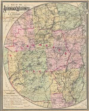
Map of the Adirondack Wilderness.
sold
- Digital Map Information
- Suitable for large format printing
- Full resolution TIFF file
- ICC color profile embedded
- Delivered instantly via download link
This is an 1905 Seneca Ray Stoddard map of the Adirondacks, New York, highlighting the Adirondack State Park. This one of the earliest obtainable commercial maps of the Adirondack Wilderness, published not long after the park's founding, at the height of the Naturalist Movement and the Adirondack Gilded Age. (more details)