
Newton, Herbert Ellsworth (sold)
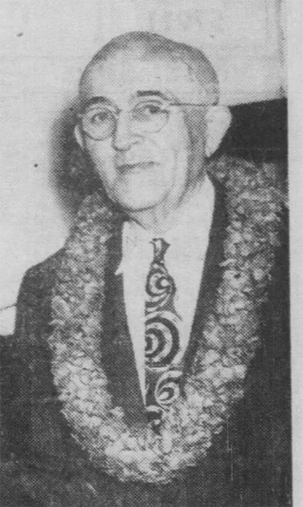
Herbert Ellsworth Newton (September 2, 1882 - January 30, 1963) was a Hawaiian surveyor and engineer. Born in Maui County, Hawaii, Newton attended school in the islands before joining the Hawaiian Territorial Survey as a 'rodman' in November 1900. (Rodmen transport and set up survey equipment and prepare the job site.) He worked for the Hawaiian Territorial Survey for nearly 50 years and was the chief cadastral engineer when he retired on July 1, 1950, at the time the longest continual service with the Hawaii Territorial government. He made the first official map of the Hawaii Territory in 1919. He married Minnie Hutchison in June 1906, and they had three children.
Unique survivor from the First Hawaii Territory Survey.
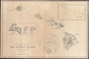
Hawaii Territory Survey. The Hawaiian Islands Compiled from the latest information Map by H. E. Newton June 1919.
sold
- Digital Map Information
- Suitable for large format printing
- File Size: 109.11 MB
- File Type: ZIP / TIFF
- ICC color profile embedded
- Delivered instantly via download link
A singular survivor from the first Hawaiian Territorial Survey, this is Henry E. Newton's 1919 map of the Hawaiian Islands, here in a previously unknown double-sized presentation issue. This is the most important map of Hawaii issued during the territorial period and the foundation for most subsequent maps of the archipelago into the late 20th century. (more details)