
Nolan, John (sold)
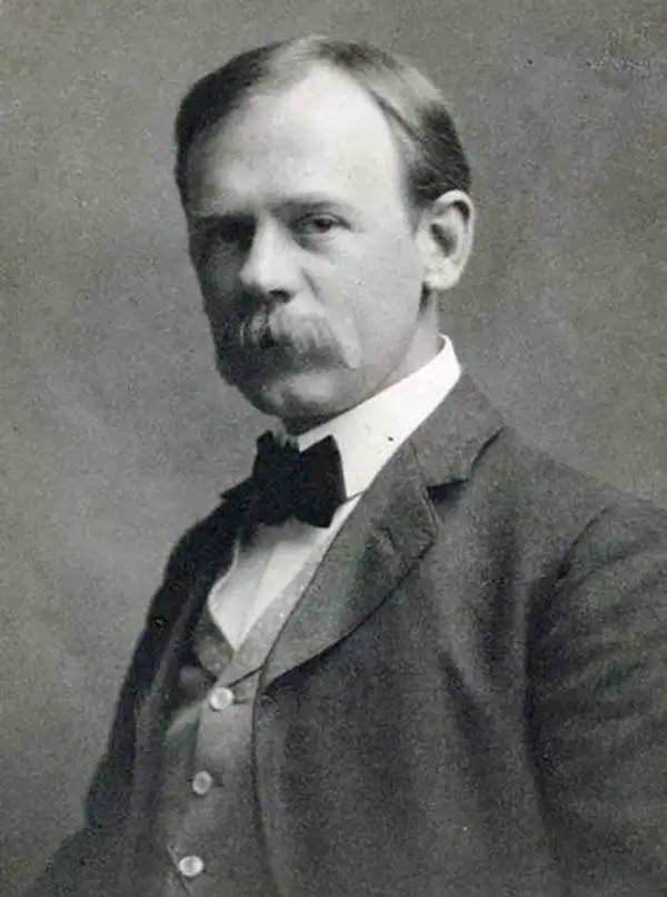
John Nolan (June 14, 1869 - November 18, 1937) was an American landscape architect and civil engineer active throughout the United States in the first half of the 20th century. Nolan was born an orphan in Philadelphia, Pennsylvania. He placed at the Girard School for Orphaned Boys where in 1884 he graduated first in his class. In 1891, after several years working as a grocery clerk, he enrolled at the prestigious Wharton School of Finance and Economics at the University of Pennsylvania. He developed his interested in architecture and urban design in 1895 while on a trip to Worcester College, Oxford, England. Selling all of his possessions to finance the effort, he enrolled in the Harvard School of Landscape Architecture to study under New York's Central Park designer, Frederick Law Olmstead (1822 - 1903). He graduated in 1905 and immediately joined the American Society of Landscape Architects. His first urban design work was in Madison, Wisconsin, where he began laying out city parks as early as 1908. He went on to significant projects in Virginia, Georgia, and California. His most significant work was in and around San Diego, where he complied two influential city-wide plans (1908, 1926) that defined the city's subsequent growth.
The underpinning of modern San Diego.
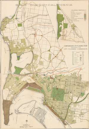
San Diego • California. Comprehensive City Planning Study Prepared for City Planning Commission.
sold
- Digital Map Information
- Suitable for large format printing
- Full resolution TIFF file
- ICC color profile embedded
- Delivered instantly via download link
A rare example of John Nolen's 1926 comprehensive city plan or map of San Diego. This is the second and most influential of Nolen's two San Diego planning maps and forms the underpinning of modern San Diego. Oriented slightly west of north, the map covers from La Jolla to Point Lomas and from the Pacific coast to Garnet Street. It is color coded according to Nolan's municipal design proposals, with special areas delegated for schools, industry, parks, public properties, playgrounds, and more. (more details)