
Ondarza Lara, Juan (sold)

Juan Ondarza Lara (May 17, 1827 - January 7, 1875) was a Bolivian soldier, engineer, and geographer. He was born in Sucre, Bolivia, on May 17, 1827. Ondarza joined the Bolivian Army at 13 years and, after being decorated in the Battle of Ingava, joined the Army Topographical Bureau (Topografica del Ejercito) and was educated under the tutelage of French immigrant Felipe Bertres. Bertres issued a map of Bolivia in 1843, but this was found to be rife with error. Ondarza, along with assistants Juan Mariano Mujia and to a lesser extent Lucio Camacho, were commissioned to complete a thorough survey of the country. They invested 14 years in the project: 11 years traveling throughout Bolivia taking astronomical observations, and 3 years compiling the relevant information. Ondarza, along with Juan Mariano Mujia, then traveled to the United States and Europe searching for a publisher for his great map. While in the United States Ondarza joined the National Academy of Sciences, in England, the Royal Geographical Society, and in France, the Paris Geographical Society. His map was finally published in 1959 by the American cartographic publisher J. H. Colton. Ondarza subsequently returned to Bolivia where he fell afoul of the new corrupt government of Mariano Melgarejo and forced into exile. He returned to Bolivia in 1872 during the subsequent administration of Tomas Frias Ametller. Afterwards he explored Lake Titicaca before dying in La Paz on January 7, 1875. His brother, Abdon Ondarza is also famous for founding the coastal city of Antofagasta (then Bolivia, now Chile).
American published Bolivian National Map.
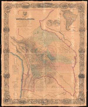
Mapa de la Republica de Bolivia mandado publicar pr el Gobierno de la Nacion en la Administracion del Presidente Doctor José Maria Linares... Levantado y organindo en los años de 1842 à 1859 Por el Teniente Coronel Juan Ondarza, Commandante Juan Mariano Mujia y Mayor Lucio Camacho.
sold
- Digital Map Information
- Suitable for large format printing
- File Size: 216.5 MB
- File Type: ZIP / TIFF
- ICC color profile embedded
- Delivered instantly via download link
A magnificent and important map of extreme significance, this is J. H. Colton and Juan Ondarza Lara's great 1859 national map of Bolivia. This map is highly significant and influential on multiple levels. First, it is the largest and most important map of Bolivia to appear in the 19th century. Second, it is the second national map produced by an American commercial publisher, J. H. Colton, at the behest of a foreign government. Third, (and unfortunately) Colton was never paid for this map, which forced him into bankruptcy in 1859 and thus into a business arrangement with A. J. Johnson, whose use of Colton's map plates catalyzed his rise to become, for a time, the world's largest map publisher. (more details)
An highly influential and often under appreciated map. Second American commercial map published as a foreign National Map. Map that led to the bankruptcy of the Colton firm and contributed to the rise of the Johnson firm.
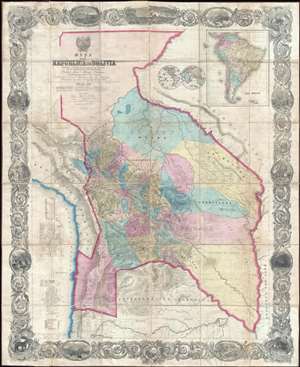
Mapa de la Republica de Bolivia mandado publicar pr el Gobierno de la Nacion en la Administracion del Presidente Doctor José Maria Linares... Levantado y organindo en los años de 1842 à 1859 Por el Teniente Coronel Juan Ondarza, Commandante Juan Mariano Mujia y Mayor Lucio Camacho.
sold
- Digital Map Information
- Suitable for large format printing
- File Size: 91.32 MB
- File Type: ZIP / TIFF
- ICC color profile embedded
- Delivered instantly via download link
A magnificent and important map of extreme and often underappreciated multilevel significance; this is J. H. Colton and Juan Ondarza Lara's great national map of Bolivia. This map is highly significant and influential on a number of levels, any of which ... (more details)
American published Bolivian National Map.
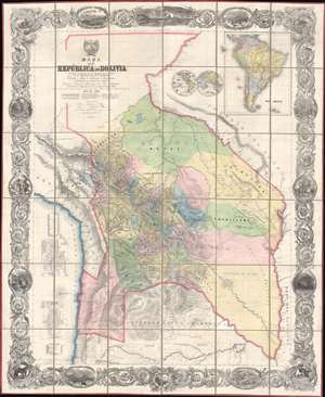
Mapa de la Republica de Bolivia mandado publicar pr el Gobierno de la Nacion en la Administracion del Presidente Doctor José Maria Linares... Levantado y organindo en los años de 1842 à 1859 Por el Teniente Coronel Juan Ondarza, Commandante Juan Mariano Mujia y Mayor Lucio Camacho.
sold
- Digital Map Information
- Suitable for large format printing
- Full resolution TIFF file
- ICC color profile embedded
- Delivered instantly via download link
A magnificent map of extreme significance, this is J. H. Colton and Juan Ondarza Lara's great 1859 national map of Bolivia. This map is highly significant and influential on multiple levels. First, it is the largest and most important map of Bolivia to appear in the 19th century. Second, it is the second national map produced by an American commercial publisher, J. H. Colton, at the behest of a foreign government. Third, (and unfortunately) Colton was never paid for this map, which forced him into bankruptcy in 1859 and thus into a business arrangement with A. J. Johnson, whose use of Colton's map plates catalyzed his rise to become, for a time, the world's largest map publisher. (more details)
An highly influential and often underappreciated map. First American commercial map published as a foreign National Map. Map that led to the bankruptcy of the Colton firm and contributed to the rise of the Johnson firm.
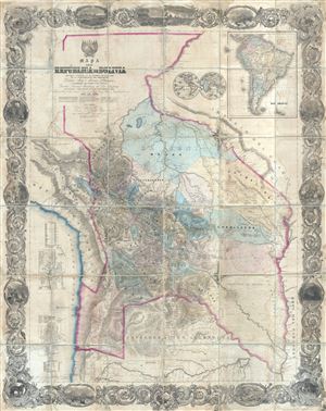
Mapa de la Republica de Bolivia mandado publicar pr el Gobierno de la Nacion en la Administracion del Presidente Doctor José Maria Linares... Levantado y organindo en los años de 1842 à 1859 Por el Teniente Coronel Juan Ondarza, Commandante Juan Mariano Mujia y Mayor Lucio Camacho.
sold
- Digital Map Information
- Suitable for large format printing
- File Size: 24.31 MB
- File Type: ZIP / TIFF
- ICC color profile embedded
- Delivered instantly via download link
A magnificent and important map of extreme and often underappreciated multilevel significance; this is J. H. Colton and Juan Ondarza's great map of Bolivia. This map is highly significant and influential on a number of levels, any of which would, singly, ... (more details)