
Österreichischer Alpenverein (sold) (OAV, Austrian Alpine Club)

Österreichischer Alpenverein (OAV) (Austrian Alpine Club) (1862 - 1938 ; 1945 - present) is the largest mountaineering association in Austria. Founded in 1862, the OAV was the first mountaineering association in continental Europe and the second association in the world, second only to the British Alpine Club. The OAV merged with the Deutscher Deutscher Alpenverein (German Alpine Club) in 1873 to form the Deutschen und Oesterrichischen Alphenverein (DOAV) (German and Austrian Alpine Club). DOAV existed until the until the Anschluss (the annexation of Austria by Nazi Germany) in 1938, when the group was renamed the Deutscher Alpenverein (DAV). During the war the DAV was incorporated into the National Socialist League of the Reich for Physical Exercise and continued is nationalist and antisemitic policies that began before World War I and continued until the end of World War II. The OAV was reestablished in 1945 and held the assets of the DAV as trustee until it was reestablished in 1952.
AKA: OAV, Austrian Alpine Club
The first modern map of Mount Everest.
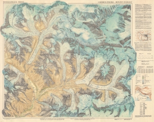
This is the first and most important modern map of Mount Everest. This extraordinary map was published in 1957 by the Deutscher Alpenverein (German Alpine Club) and Österreichischer Alpenverein (Austrian Alpine Club) based upon photogrammetric survey work conducted by Erwin Schneider during the 1955 Norman G. Dyrhenfurth Himalaya Expedition. (more details)
First modern map of Mount Everest.
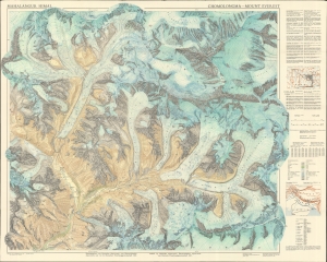
This is the first and most important modern map of Mount Everest. This extraordinary map was published in 1957 by the Deutscher Alpenverein (German Alpine Club) and Österreichischer Alpenverein (Austrian Alpine Club) based upon photogrammetric survey work conducted by Erwin Schneider during the 1955 Norman G. Dyrhenfurth Himalaya Expedition. (more details)
Bilingual German and English map of the region around Mount Everest.
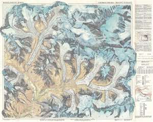
This is the first and most important modern map of the Mount Everest region. This extraordinary map was published in 1957 by the Deutscher Alpenverein (German Alpine Club) and Österreichischer Alpenverein (Austrian Alpine Club) based upon photogrammetric survey work conducted by Erwin Schneider during the 1955 Norman G. Dyrhenfurth Himalaya Expedition. The six-color chromolithograph map depicts the Khumbu, or the south (Nepalese) approach Mount Everest, which appears in the upper right, covering from Tsolatse to Baruntse and from Lingtren to Ama Dablam. The detail throughout, down to stone walls and tiny paths, is an extraordinary representation of the Khumbu's complex terrain. Topography is represented by contours at 20-meter intervals with every 100 meters emphasized. (more details)
Bilingual German and English map of the region around Mount Everest.
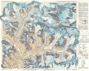
This is the first and most important modern map of the Mount Everest region. This extraordinary map was published in 1957 by the Deutscher Alpenverein (German Alpine Club) and Österreichischer Alpenverein (Austrian Alpine Club) based upon photogrammetric survey work conducted by Erwin Schneider during the 1955 Norman G. Dyrhenfurth Himalaya Expedition. The six-color chromolithograph map depicts the Khumbu, or the south (Nepalese) approach Mount Everest, which appears in the upper right, covering from Tsolatse to Baruntse and from Lingtren to Ama Dablam. The detail throughout, down to stone walls and tiny paths, is an extraordinary representation of the Khumbu's complex terrain. Topography is represented by contours at 20-meter intervals with every 100 meters emphasized. (more details)