
Peary Sr., Robert Edwin (sold)
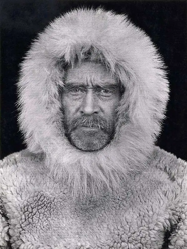
Robert Edwin Peary Sr (May 6 - 1856 - February 20, 1920) was an American United States Navy officer and explorer best known for reaching the geographic North Pole on April 6, 1909. Much has been written about Admiral Peary, who attempted numerous expeditions in Greenland and the Arctic. With relation to cartography, it is important to know that Peary attended Bowdoin College and graduated in 1877 with a degree in civil engineering. He found a job with the United States Coast and Geodetic Survey as a draftsman after graduation, but soon elected to join the United States Navy. He was commissioned as a lieutenant on October 26, 1881 and from 1884 - 1885 served as an assistant engineer on the surveys for the Nicaragua Canal, a project that he would one day oversee as engineer in charge. One of Peary's contributions from his 1898-1902 expeditions was the mapping of previously uncharted areas, for which he was honored by the American Geographical Society and the Royal Geographical Society of London. Peary's renowned achievement of being the first to reach the geographic North Pole, however, is doubted by the academic community, many of which believe fabricated the achievement, due to omissions in navigational documentation, inconsistent speeds, and an in-depth study commissioned by the National Geographic Society.
Japanese and American bases after Pearl Harbor Attack.
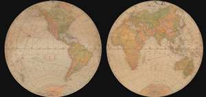
Flat-Globe of the World.
sold
- Digital Map Information
- Suitable for large format printing
- File Size: 53.23 MB
- File Type: ZIP / TIFF
- ICC color profile embedded
- Delivered instantly via download link
This is a 1941 William H. Wise and Company and Admiral Robert E. Peary round double-sided globe map of the world as of December 8, 1941, the day after the Japanese attack on Pearl Harbor. Each side depicts one of the Earth's hemispheres, with the nations of the world labeled and delineated by black dotted and dashed lines. Red overprinting highlights air routes between the world's major cities. Clock faces along the Equator mark time zones, an essential detail in the age of air travel and world war. An inscription, 'All Data as of Dec. 8, 1941', suggests this map is updated to that point. There are overprinted US, British, and Japanese flags highlighting the global naval and air bases of these world powers. Oil fields, copper, rubber, and tin (essential raw materials for the war effort) are also noted by red overprinting. Interestingly, world geography does not reflect territorial gains won by Nazi Germany in Europe, or the fighting in North Africa, but Manchukuo, the Japanese puppet-state in northeastern China, is illustrated and labeled. Korea is labeled as Chosen, the name used by the Japanese following their annexation of the region in 1910. (more details)