
Phillips, Richard (sold)

Richard Phillips (December 13, 1767 - April 2, 1840) was an English author, publisher, and schoolteacher. Born in London, Phillips was a schoolteacher and bookseller in Leicester for a time before returning to London due to some 'political difficulties'. There, he established a business on Paternoster Row and founded The Monthly Magazine in 1796. In 1807 he served as Sheriff of London, at which time he was knighted. Phillips overextended his finances and declared bankruptcy during the Bank Panic of 1837. He died in Brighton.
Franklinia and Morgania.
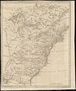
[Untitled Map of the United States.]
sold
- Digital Map Information
- Suitable for large format printing
- DPI: 600
- File Size: 27.44 MB
- File Type: ZIP / TIFF
- ICC color profile embedded
- Delivered instantly via download link
This is a fascinating and rare 1804 Sir Richard Phillips map of the United States, featuring the ephemeral states of Franklinia and Morgania. Printed shortly after the American Revolutionary War (1775 - 1783), it illustrates the new country as it was struggling to resolve issues of state vs. federal sovereignty. The map captures a time of endless possibility, where the ambitious could stake out settlements and build trade empires on loosely policed frontiers. This map includes two such colonies, Franklinia and Morgania. (more details)
Southern Theater of the American Revolution.
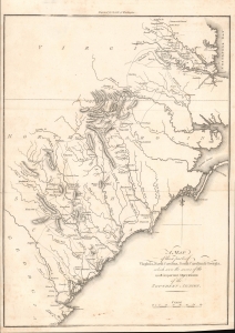
A Map of Those Parts of Virginia, North Carolina, South Carolina and Georgia which were the Scenes of the Most Important Operations of the Southern Armies.
sold
- Digital Map Information
- Suitable for large format printing
- File Size: 5.34 MB
- File Type: ZIP / TIFF
- ICC color profile embedded
- Delivered instantly via download link
A lovely example of Samuel Lewis' map of the Carolinas and Virginia that appeared in the 1806 first London edition of John Marshall's The Life of George Washington. The map depicts the Southern Theater of the American Revolutionary War. (more details)
Scarce map illustrating the proposed states of Franklinia and Morgania.
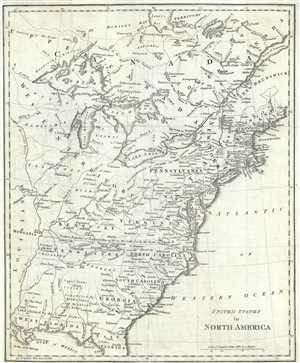
United States in North America.
sold
- Digital Map Information
- Suitable for large format printing
- Full resolution TIFF file
- ICC color profile embedded
- Delivered instantly via download link
This is a fascinating 1812 Sir Richard Phillips map of the United States shortly after the American Revolutionary War as the new country was struggling to resolves issues of state vs federal sovereignty. It illustrates a time of endless possibility, where the ambitious could stake out their own settlements and build trade empires on loosly policed frontiers. This map, while not visually dramatic, includes two such colonies, Franklinia and Morgania. (more details)