
Porro, Girolamo (sold)

Girolamo Porro (1520 - 1604) was an Venetian engraver, humanist, illustrator, map maker, and publisher. Porro was born in Padua but lived most of his life in Venice. Porro worked with a number of important Venetian humanists including Camillo Camilli, Scipione Barbuo, Porcacchi, Ruscelli, and Ariosto. Cartographically Porro has produced only a few works, but these include such important works as the maps for Porcacchi's 1572 Isole piu Famose del Mondo (including the first obtainable specific map of North America), and the maps included with Ruscelli's 1574 Italian translation of Ptolemy's Geographia.
One of the earliest published maps of Russia.
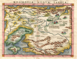
Moschovia Nvova Tavola.
sold
- Digital Map Information
- Suitable for large format printing
- DPI: 300
- File Size: 2.77 MB
- File Type: ZIP / TIFF
- ICC color profile embedded
- Delivered instantly via download link
A beautiful example of Girolamo Ruscelli's c. 1574 map of Moscovie. Covers modern day Russia and the Ukraine from the Arctic to the Crimea and as far east as the Caspian Sea. Interest in this area peaked in Western Europe following the discoveries of Barentz, ... (more details)
An attractive small-format map of India and the Spice Islands.
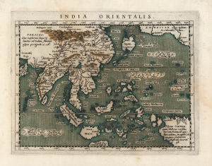
India Orientalis.
sold
- Digital Map Information
- Suitable for large format printing
- DPI: 600
- File Size: 7.01 MB
- File Type: ZIP / TIFF
- ICC color profile embedded
- Delivered instantly via download link
This is Giovanni Magini's 1596 map of the East Indies. It presents what, prior to the explosion of the Dutch into the spice trade, was the state of the art of the European mapping of the East. (more details)
One of the Earliest Maps on the Mercator Projection.
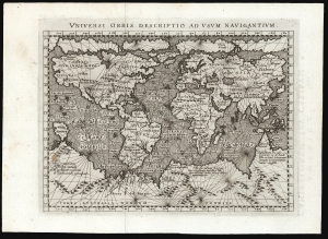
Universi Orbis Descriptio Ad Usum Navigantium.
sold
- Digital Map Information
- Suitable for large format printing
- Full resolution TIFF file
- ICC color profile embedded
- Delivered instantly via download link
This beautifully engraved world map is the 1596 first edition of Giovanni Magini's reduction of Mercator's 1569 world wall map. It is among the first commercial maps not by Mercator himself to employ the projection. (more details)