
Schedius Lajos (sold)
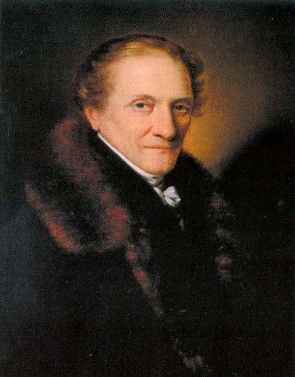
Schedius Lajos (December 20, 1768 - November 12, 1847) also known by his German name Johann Ludwig von Schedius, was a prominent Hungarian writer, academic, and philologist. Born in Győr to a German-speaking Evangelical family, he studied at the Bratislava Evangelical Lyceum, the Sopron Gymnasium, and the University of Göttingen, where he studied classics. After completing his studies, despite being only 24 years old and a Protestant (a major disadvantage at the time), Schedius was appointed head of the Department of Philology and Aesthetics at the Royal Hungarian University (commonly known as the University of Pest). He also manages to survive in his position despite being associated with the revolutionary Hungarian Jacobin movement (also known as the Martinovics movement). Both his job posting and his political protection were thanks to the intervention of powerful friends among the Austrian nobility. In any event, Schedius held his position as head of the Department of Philology for 50 years and became a fixture of the intellectual scene in Pest. Despite writing in German and Latin, Schedius supported Hungarian intellectuals, helped publish Hungarian-language works, and championed freedom of the press in the face of the impulse of the Habsburgs to implement strict controls on speech. Schedius also championed some of the most important maps of Hungary of the era, including Lipszky János' 'Mappa Generalis Regni Hungariae…,' which he updated after Lipszky's death, working with Blaschnek Sámuel to produce a map of the kingdom in the late 1830s ('Magyar Ország, Horvát, Tót, Dalmát, és Erdély Országok,' reissued in several editions thereafter). An unpublished updated edition of the map was instrumental to the leaders of the Hungarian Revolution of 1848, which took place after Schedius' death in 1847.
First Edition, First State of a later censured Map of Hungary.
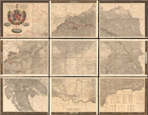
Magyar Ország, Horvát, Tót, Dalmát, és Erdély Országok, a tenger mellék és a végőri videkék kőzonséges pśták és útak főldabrosza... / Vollstaendige General Posten- und Strassen-Karte des Königreichs Ungran, der Königreiche Croatien, Slavonien, Dalmatien, des Grossfürstenth. Siebenbürgen, des Küstenlandes und der Militair-Grenze...
sold
- Digital Map Information
- Suitable for large format printing
- File Size: 591.44 MB
- File Type: ZIP / TIFF
- ICC color profile embedded
- Delivered instantly via download link
This is Blaschnék Sámuel and Schedius Lajos' lavish, very large-format bilingual (Hungarian-German) c. 1836 folding map of the Kingdom of Hungary, here in its first-edition first-state. It depicts the kingdom in the wake of the Napoleonic Wars, when it was in the midst of a reform movement, and represents the most detailed and up-to-date mapping of the kingdom in the first half of the 19th century. (more details)