
Shinshindō (sold) (駸々堂)

Shinshindō (駸々堂; c. 1881 - 2000) was a bookstore and publisher founded by Oobuchi Wataru 大淵渉 (1855 ‐ 1907) in Kyoto. The company later moved to Osaka and went through several name changes over the course of the twentieth century, developing a niche market for study guides and test preparation books in the process, but ultimately going bankrupt in 2000.
AKA: 駸々堂
One of the first, if not the first, Japanese World Map to incorporate western style Comparative Mountains and Rivers charts.
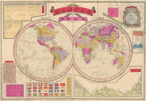
Kaisei shinpan bankoku meisai zenzu. /萬國明細全圖, 改正新版 / Complete, Detailed World Map, Revised and Updated.
sold
- Digital Map Information
- Suitable for large format printing
- File Size: 16.59 MB
- File Type: ZIP / TIFF
- ICC color profile embedded
- Delivered instantly via download link
A scarce Japanese map of the world issued in 1886 (Meiji 19) by Maeda Torakichi, significant for its incorporation of Western scientific data. Most importantly, this is one of the first, if not the first, example of European style comparative world mountains and rivers charts to appear on a Japanese world map. (more details)
Tokyo on the eve of the Great Kanto Earthquake.
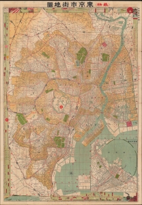
(最新) 東京市街地圖 / [(Latest) Tokyo City Map].
sold
- Digital Map Information
- Suitable for large format printing
- Full resolution TIFF file
- ICC color profile embedded
- Delivered instantly via download link
This is a rare 1922 Oobuchi Zenkichi map and guide of Tokyo. It illustrates the density and modernity of Tokyo on the eve of the disastrous Great Kanto Earthquake the following year, which led to large portions of the city being destroyed and rebuilt. (more details)
Japan's Historic Capital.
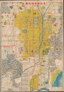
いろは引早わかり 最新京都市街地圖 / [Basic and Easily Comprehensible Latest Street Map of Kyoto].
sold
- Digital Map Information
- Suitable for large format printing
- Full resolution TIFF file
- ICC color profile embedded
- Delivered instantly via download link
A scarce and detailed map of Kyoto, produced by Oobuchi Zenkichi in 1924 (Taisho 13). Along with text on the verso, it provides a comprehensive guide for visitors and tourists, who were then flocking to the city in increasing numbers. (more details)