
Smith, Mason, and Company (sold)

Smith, Mason, and Company (fl. 1850 - 1865) was a map publishing firm with offices in several cities, including New York, Boston, Philadelphia, Troy, and Manchester, NH. They published numerous county wall maps, mostly focusing on New England, through the second half of the 19th century. The plethora of offices and addresses on their imprints suggests a large business, but the reality may be that most of these were little more than addresses and short-term annexes established to promote and sell individual maps. The firm was operated by Horace Mason, but due to the commonality of this name, we have had some difficulty identifying him. Smith likely refers to 'H. and C.T. Smith', prominent map publishers in their own right. There are papers associated with Smith, Mason, and Company preserved at the Library of Congress, which remain undigitized but which may illuminate this firm.
Mill towns on the Merrimack River.
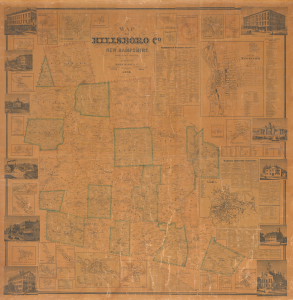
Map of Hillsboro Co. New Hampshire From Actual Surveys.
sold
- Digital Map Information
- Suitable for large format printing
- File Size: 277.61 MB
- File Type: ZIP / TIFF
- ICC color profile embedded
- Delivered instantly via download link
An uncommon 1858 Jacob Chace Jr. wall map of Hillsborough County (Hillsboro), New Hampshire, including large insets of Manchester and Nashua. The map captures the area, particularly the Merrimack River corridor, at the height of its prosperity as the center of textile production. (more details)