
Sturges, Rosalind Howe (sold)
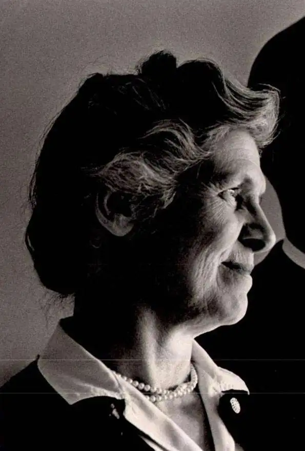
Rosalind Howe Sturges (1907-1999) was an American artist and architectural cartographer known for illustrated pictorial maps using architectural images to create a sense of place. She was the daughter of an antiques dealer and an architect, and became architecture early on. Her first professionally produced map was a view of Vassar College, executed the year she graduated from that school, in 1928. Her oeuvre focused on New England and the Mid-Atlantic region, and includes views of Annapolis, Bristol, Providence, Chestnut Hill and Philadelphia, Blackstone Valley, Deerfield, Groton, Hingham, Princeton, and Worcester, and the campus of Wellesley College. Her manuscripts and working materials are housed at Vassar College.
Scarce 1943 Bird's Eye View of Wellesley College
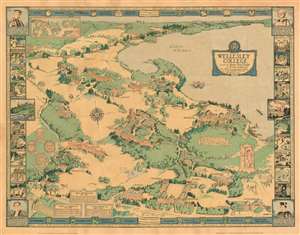
Wellesley College, founded by Henry Fowle Durant and Paulina A. Durant, 'Nisi Dominus aedificaverit domum, in vanum laboraverunt qui aedificant eum' 1875.
sold
- Digital Map Information
- Suitable for large format printing
- File Size: 31.27 MB
- File Type: ZIP / TIFF
- ICC color profile embedded
- Delivered instantly via download link
This is a 1943 Rosalind Howe Sturges pictorial map of the campus of Wellesley College, Massachusetts. Sturges lived in Wellesley in the early 40s, and given the deep knowledge of college shibboleths exhibited in this map, she appears to have had a close connection to the school. (This writer has been defeated in his efforts to learn the meaning of 'Going Through Harriet.') The outer border displays the school's Alma Mater, while the inner border at top and bottom list the various academic programs offered. Each corner honors one of four college presidents - the three remaining ones, to date, are similarly eulogized in text boxes within the map. The fine cartouche decorated with the college seal, and a motto:
A series of vignettes - drawn from photographs for the most part - highlight signal events in the College's history, as well as activities familiar to the Wellesley graduate but obscure to outsiders. (more details)
Nisi Dominus aedificaverit domum, in vanum laboraverunt qui aedificant eum : Unless God builds the house, its builders work in vain.The composition is oriented to the south (as indicated with an elegant compass rose). Central Street forms the bottom limit of the map, with Lake Waban dominating the background. Amongst the campus' woods and fields are shown the College's buildings, with sharp architectural accuracy. Each is named - or in some cases, marked with symbols. For example, buildings associated with academic societies are marked with their emblems, and the College's Shakespeare society is marked with a thespian's mask. Students are pictured throughout the composition: some merely walking to and fro, but a crowd of mortarboarded graduates troops into Alumnae Hall, and groups of students can be seen at play: field hockey, lacrosse, tennis, badminton and rowing can all be found on the map.
A series of vignettes - drawn from photographs for the most part - highlight signal events in the College's history, as well as activities familiar to the Wellesley graduate but obscure to outsiders. (more details)