
Talcott, George (sold)
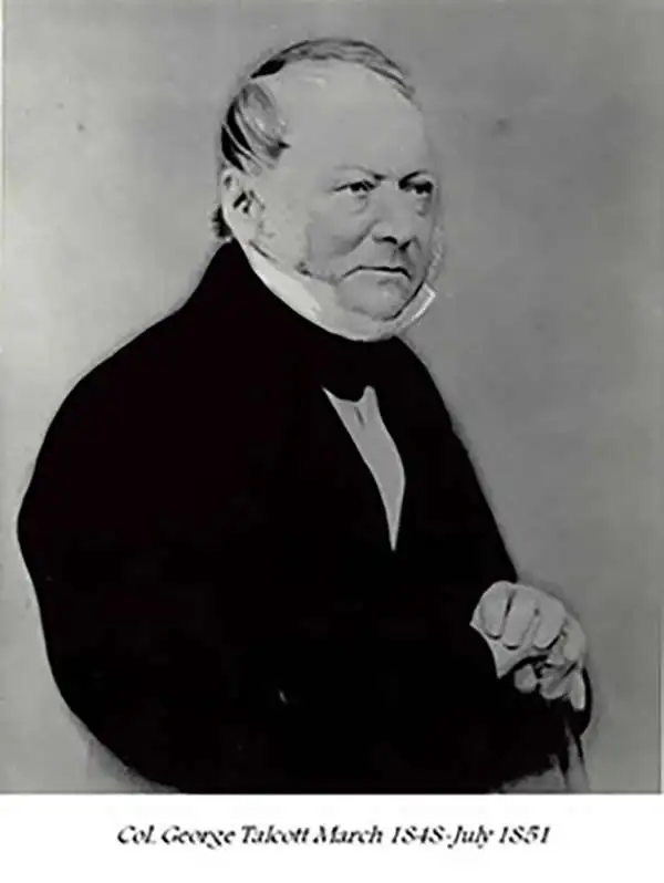
George Talcott (December 6, 1786 – April 25, 1862) was an American surveyor and military officer active during the first half of the 19th century. Talcott was born into a Connecticut farming family. He joined the U.S. Army with a rank of Second Lieutenant in 1813. Talcott was transferred to the Ordnance Corps, where he rose rapidly through the ranks. Talcott was an able officer but twice ran afoul of his superiors. The first time occurred when he had a deserter under his command horsewhipped, a punishment Talcott considered a mercy. He was nonetheless brought up on charges of having cruelly abused a prisoner. These charges were dismissed much to the consternation of his superior officer. Despite a narrowly avoided court martial, Talcott continued to rise through the ranks becoming, in 1848 Chief of the Ordnance and, shortly thereafter, Brevet Brigadier General. In 1851 Talcott again fell out with his superiors, this time the Secretary of War Charles Magill Conrad (December 24, 1804 – February 11, 1878). With the Civil War brewing and hostilities increasing between the northern and southern states, Conrad took offense that Talcott awarded a munitions contract to a southern supplier. This second court martial resulted in Talcott being dismissed from his post and from the Army itself. Talcott died 10 years later on April 25 of 1862. George Talcott should not be confused with Andrew Talcott, an unrelated American military surveyor active during the same period.
Scarce map illustrating original survey work of the Mineral Districts around Lake Superior.
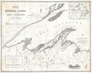
Map of that Part of the Mineral Lands adjacent to Lake Superior, ceded to the United States by the Treaty of 1842 with the Chippewas. Comprising that District lying between Chocolate River and Fond du Lac, under the superintendency of Genl. John Stockton, U.S. Agent.
sold
- Digital Map Information
- Suitable for large format printing
- File Size: 81.8 MB
- File Type: ZIP / TIFF
- ICC color profile embedded
- Delivered instantly via download link
A rarely seen and massive 1845 government issued map of the western part of Lake Superior drawn to illustrate mining districts. The map covers from Cass Bay and Grand Island westward as far as the American Fur Company Depot at the mouth of the River St. Louis, or ... (more details)