
Thackara, James (sold)
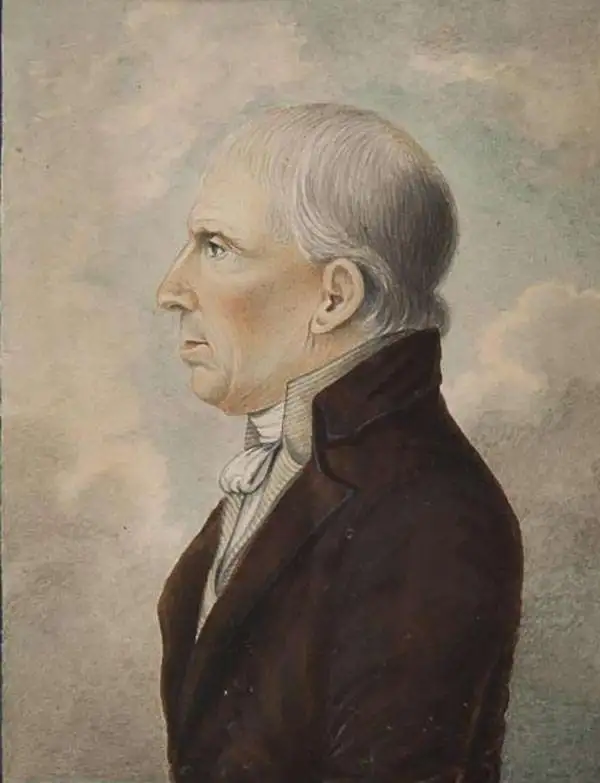
James Thackara (March 12, 1767 – August 15, 1848) was a Philadelphia based engraver. Thackara was born in England, the son of a sailor, and in the year of his birth, the Thackara family moved to Philadelphia. In Philadelphia, he apprenticed under Robert Scott and James Trenchard (1747 - ??), whose daughter he married. As early as 1792 he became the partner of his nephew-in-law, John Vallance, publishing maps, bank notes, and prints under the imprint of Thackara and Vallance. Together they are credited with numerous cartographic projects, including maps for Andrew Ellicott, John Melish, Henry S. Tanner, and Reading Howell. Thackara curated the Pennsylvania Academy of Fine Arts from 1816 to 1828. In 1832, he created a new partnership, this time with is son, William Thackara, printing as Thackara and Son. In addition to his engraving work Thackara curated the Pennsylvania Academy of Fine Arts from 1816 to 1828. He also served as an elected Philadelphia City Commissioner in 1797 and was a clerk of the Pennsylvania House of Representatives form 1807 – 1810.
First official large format plan of Washington D.C.
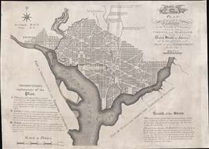
Plan of the City of Washington in the Territory of Columbia, ceded by the States of Virginia and Maryland to the United States of America, and by them established as the Seat of their Government, after the year MDCCC.
sold
- Digital Map Information
- Suitable for large format printing
- Full resolution TIFF file
- ICC color profile embedded
- Delivered instantly via download link
This is Andrew Ellicott's seminal 1792 official large format plan or map of Washington D.C., which would become, 8 years later, the capital of the United States. This is the grandest, most beautiful, and most important official founding plan of Washington D.C. The map illustrates the original urban layout of Washington D.C, then only a small part of the District of Colombia. Centered on the confluence of the Potomac and the Eastern Branch (Anacostia) Rivers, the map covers the Washington D.C. grid as far north as W Street. It also includes the older nearby city of Georgetown. (more details)