
Weiland, Carl Ferdinand (sold)

Carl Ferdinand Weiland (1782 - 1847) was a German cartographer active with the Weimar Geographisches Institut, where he headed up map and globe production, in early and middle part of the 19th century. Weiland was a trained as a military cartographer who, with his career at the Geographisches Institut, move into the private market. Among his other work, Weiland issued a German edition of Carey and Lea's American Atlas. Their edition, which was fully re-engraved in Germany, is of superior workmanship and stands out as some of the finest 19th century maps of individual U.S. states printed outside of America.Carl Ferdinand Weiland (1782 - 1847) was a German cartographer active with the Weimar Geographisches Institut, where he headed up map and globe production, in early and middle part of the 19th century. Weiland was a trained as a military cartographer who, with his career at the Geographisches Institut, move into the private market. Among his other work, Weiland issued a German edition of Carey and Lea's American Atlas. Their edition, which was fully re-engraved in Germany, is of superior workmanship and stands out as some of the finest 19th century maps of individual U.S. states printed outside of America.
Beautiful map of the West Indies backed on linen.
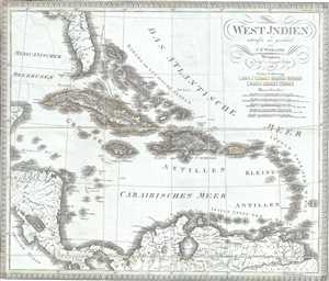
West Indien.
sold
- Digital Map Information
- Suitable for large format printing
- Full resolution TIFF file
- ICC color profile embedded
- Delivered instantly via download link
This is a scarce separate-issue 1825 map of the West Indies by C. F. Weiland. It covers from the southern part of Florida and the Bahamas south through the Caribbean Islands of Cuba and Hispaniola, to the northern part of South America and east to the Caribbean ... (more details)
Early 19th century map of Australia and Polynesia
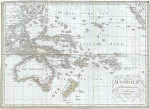
Australien.
sold
- Digital Map Information
- Suitable for large format printing
- Full resolution TIFF file
- ICC color profile embedded
- Delivered instantly via download link
This is a scarce separate-issue 1826 map of Australia, New Zealand and Polynesia by C. F. Weiland. It covers from Southeast Asia eastward as far as Baja California and includes much of the East Indies, Polynesia, Australia and New Zealand. The map identifies ... (more details)
Map of Greece during the declining Ottoman Empire.
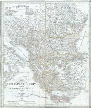
Das Osmanische Europa oder die Europaeische Turkey.
sold
- Digital Map Information
- Suitable for large format printing
- Full resolution TIFF file
- ICC color profile embedded
- Delivered instantly via download link
This is a scarce separate-issue 1826 map of European Turkey by C. F. Weiland. It covers Greece and the Balkans from Romania to Crete and includes the modern day nations of Greece, Macedonia, Albania, Croatia, Bosnia, Serbia, Bulgaria and Moldova. It depicts ... (more details)
Early 19th century map of Netherlands, Belgium and Luxemboug.
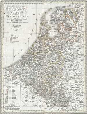
General-Charte von dem Koonigreiche der Niederlande nebst dem Grossherzogthume Luxemburg.
sold
- Digital Map Information
- Suitable for large format printing
- Full resolution TIFF file
- ICC color profile embedded
- Delivered instantly via download link
This is a scarce separate-issue 1826 map of Holland (the Netherlands), Belgium and Luxembourg by C. F. Weiland. It covers all of Belgium and Holland from the North Sea south to France, Luxembourg. Identifies various towns, cities, rivers, roads, mountain ... (more details)
Beautiful map depicting the territories of the Austro-Hungarian Empire.
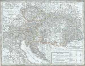
General Charte des Oestreichischen Kaiserstaats nach seiner gegenwaertigen Begraenzung und neuesten innern Eintheilung.
sold
- Digital Map Information
- Suitable for large format printing
- Full resolution TIFF file
- ICC color profile embedded
- Delivered instantly via download link
This is a scarce separate-issue example of the 1826 C. F. Weiland map of Austria. The map covers the territory of the Austro-Hungarian Empire, inclusive of all of Austria, the Italian provinces of Lombardy, Tyrol, Venice, Dalmatia, Hungary, Croatia, the ... (more details)
Early map of Africa depicting the speculative Mountains of the Moon.
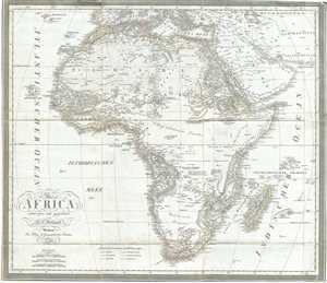
Africa.
sold
- Digital Map Information
- Suitable for large format printing
- Full resolution TIFF file
- ICC color profile embedded
- Delivered instantly via download link
This is a scarce separate-issue example of C. F. Weiland’s 1827 map of Africa. This uncommon map predates the explosion of African exploration that occurred in the mid-19th century. Much of the interior remains unknown. The Ptolemaic Mountains of ... (more details)
19th century map of Scandinavia.
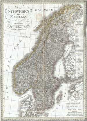
Schweden und Norwegen.
sold
- Digital Map Information
- Suitable for large format printing
- Full resolution TIFF file
- ICC color profile embedded
- Delivered instantly via download link
This is a scarce separate-issue example of the 1827 C. F. Weiland map of Sweden and Norway. The map covers from the Arctic Sea south to Denmark and east as far as the Gulf of Finland. Various important rivers, islands, cities and other topographical ... (more details)
Beautiful early 19th century map of Asia.
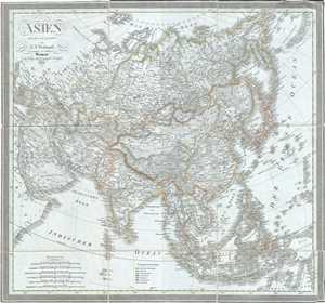
Asien.
sold
- Digital Map Information
- Suitable for large format printing
- Full resolution TIFF file
- ICC color profile embedded
- Delivered instantly via download link
This is a scarce separate-issue 1828 map of Asia by C. F. Weiland. It covers the entire Asian continent from the Arctic Ocean to the Indian Ocean and from the Red Sea to New Guinea. Important cities, rivers, mountains, deserts, islands and various ... (more details)
One of the earliest maps to name Kuwait (El Koueit ox Grane), Dubai (Debai) and Abu Dhabi (Abuthubbi).
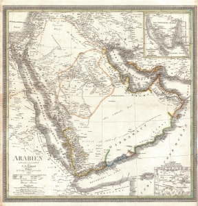
Arabien.
sold
- Digital Map Information
- Suitable for large format printing
- DPI: 600
- File Size: 28.2 MB
- File Type: ZIP / TIFF
- ICC color profile embedded
- Delivered instantly via download link
This is an 1841 Carl Ferdinand Weiland map of Arabia - considered one of the earliest modern scientific mappings of the Arabian Peninsula and one of the earliest maps to name Kuwait (El Koueit ox Grane), Dubai (Dubai), and Abu Dhabi (Abuthubbi). (more details)
Features an inset map of the environs of Mecca.
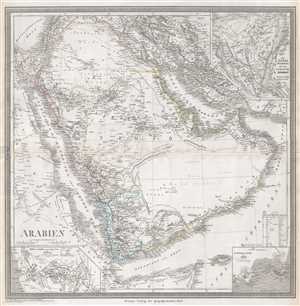
Arabien.
sold
- Digital Map Information
- Suitable for large format printing
- DPI: 300
- File Size: 11.31 MB
- File Type: ZIP / TIFF
- ICC color profile embedded
- Delivered instantly via download link
This is an 1848 Heirich Kiepert map of the Arabian Peninsula. The map depicts the region from eastern Africa to Isfahan and from Lebanon, Syria, and Iraq to the Horn of Africa and the Indian Ocean. Highly detailed, myriad locations along the ... (more details)