
Alabern Y Moles, Ramón (sold)
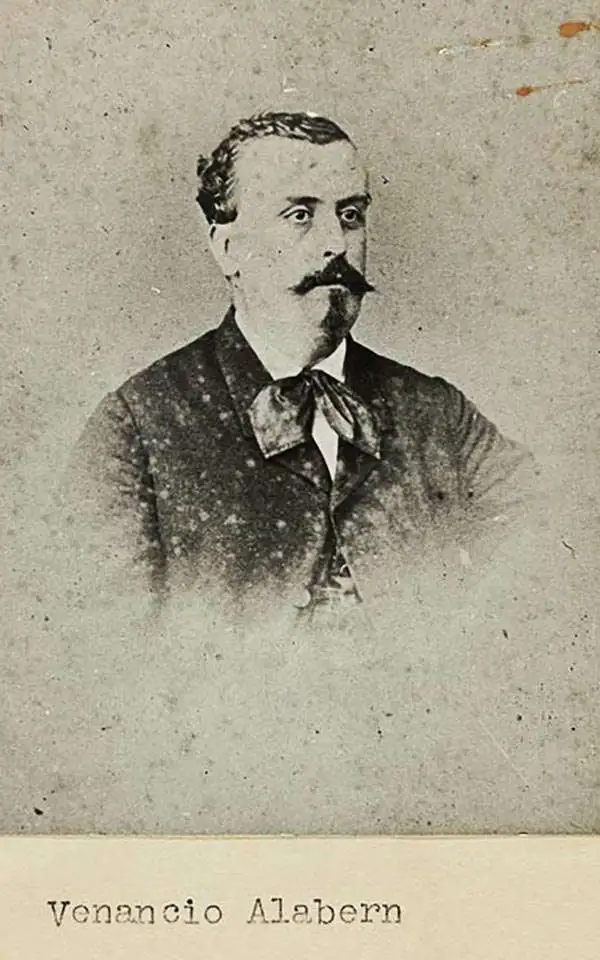
Ramón Alabern Y Moles (December 18, 1811 - 1888) was a Catalan map engraver active in Madrid and Barcelona in the early to mid-19th century. Ramón was born in Begues, just outside Barcelona, and initially studied engraving under his older brother, Pablo Alabern Y Moles (1804 - 1860). He afterward traveled to Paris to master to most sophisticated map engraving techniques. There he learnt the daguerreotyping, an early photographic technique, under the technique's inventor, Louis Jacques Mandé Daguerre (1787 - 1851). Returning to Barcelona in 1839, he introduced daguerreotyping to Spain with a dramatic presentation in partnership with the Real Academia de Ciencias Exactas, Físicas y Naturales. Throughout his career, Ramón supplemented his income as a map engraver for the Direccion Hidrografía with photography, publishing several daguerreotype compilations. Alabern died in Madried in 1888.
South China Sea - then as now, an important and strategic artery.
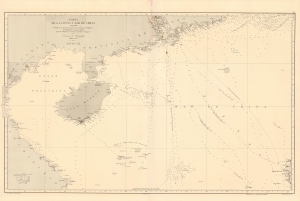
Carta de la Costa y Mar de China comprendida entre el Cabo Batangan y el Canal de Formosa con parte de la Isla de Luzon, segun los trabajos mas recientes macionales y estrangeros.
sold
- Digital Map Information
- Suitable for large format printing
- File Size: 48.36 MB
- File Type: ZIP / TIFF
- ICC color profile embedded
- Delivered instantly via download link
A rare 1869 Direccion Hidrografía nautical map detailing the China coast and the South China Sea from, roughly, Hong Kong and Macao south to Hue (Vietnam) and Luzon (the Philippines), thus embracing a highly-trafficked and critical trade and strategic channel in the 19th century (as today). The map focuses heavily on coastal maritime routes, but pushes inland along major river arteries, including a detailed mapping of the Pearl River Delta as far as Canton (Guangzhou). In Vietnam, several factorias antiguas are noted, underscoring early European trade activity. (more details)